My Pandemic Run Streak: 10K a day for a year

adult runner and young cyclist
Mid bike-and-run with my son!

In March 2020, COVID-19 and my state’s resulting stay-at-home order made life a bit challenging. First, we were told to wash hands for 20 seconds. Next, we were told to stay six feet from one another. Then, everyone had to wear a mask. By mid-March, schools went online, businesses closed or switched to remote work, and eventually we were all told to just stay home.

While the world shut down around us, my 9YO son and I took off down the roads and sidewalks; he’d ride his bike and I’d pound the pavement. For the first few weeks we went out 4-5 miles nearly every day. Then, in April 2020, I read about a Garmin 30-day, 10K challenge and thought, “Why not?” I mean, including the previous 3 weeks and a 40-miler in February, I had run a total of 257 miles since the start of the new year. Why not bang out 240+ miles in a month?

And so, on April 19, 2020, my 10K run streak began.

READ MORE

Backpacking the James River Face Wilderness: A frozen wonderland

hiker walking snowy trail with ice-covered trees all around
Walking the AT across Highcock Knob.

When my buddy, Coop, suggested we hit the trails for a February backpacking trip we kicked around some ideas: Cold Mountain and Mt. Mitchell in NC, Cranberry Wilderness in WV, and Mt. Pleasant and Apple Orchard in VA. To refine the list, he put together a handful of options in each location before we ultimately decided on the James River Face Wilderness in Jefferson National Forest between the James River on the north and Blue Ridge Parkway to the south.

The James River Face Wilderness is an 8,907-acre area located near Natural Bridge, Virginia that includes several well-maintained trails including the iconic Appalachian Trail (AT) which passes over the 623 foot James River Foot Bridge, and the Belfast Trail which leads to the Devil’s Marbleyard and its colossal, car-sized Antietam Quartzite boulders.

READ MORE

Backpacking Mt. Rogers Recreation Area: Always a bear track, never a bear

campfire in the snow
Campfire in the snow
Campfire at the Hurricane Mountain AT shelter

Winter is arguably the best season for backpacking. Top 4 for certain. Sure, I shake uncontrollably between the fire and my sleeping bag, and my nose runs like an open spigot, and I generally cannot feel my toes, but it’s also peaceful, quiet, and serene. Oh, and let’s not forget about the snow. Man I love snow!

With COVID-19 still running amuck, my brother-in-law, Ken, and I were desperate to stave off cabin fever and get outside. Our only criteria: water and fire. Looking around, we considered Pisgah National Forest, Mt. Rogers National Recreation Area, and Monongahela National Forest before deciding on Mt. Rogers and its nearly 200,000 acres of National Forest in southwestern Virginia.

READ MORE

Fastpacking Wild Oak Trail: Trail Running + Backpacking = Awesome!

hiker walking in the fog
runner on trail in woods with high grass
Coop descends Hankey Mountain.

When COVID-19 shut things down and my work switched to remote, I challenged myself to run a 10K a day. Months later, my buddy, Coop, suggested we hit the trails. I asked if we could fastpack (trail running + backpacking) so I could keep my streak alive, and he agreed wholeheartedly; even suggested Wild Oak Trail, a location we had visited previously back in November 2019.

Designated as a National Recreation Trail in 1979, the Wild Oak National Recreation Trail (TWOT) is a 27-mile loop offering 7,000′ of elevation gain within the George Washington National Forest just west of Staunton, Virginia. It’s a hot spot for mountain bikers, backpackers, and ultrarunners, and the perfect place for our first foray into fastpacking.

READ MORE

Backpacking Uwharrie: Yates Place to Panther Branch

trail in a pine forest
lego in uwharrie

After being cooped up in my house for months I saw a break in the clouds and asked my better half for permission to leave our suburban landlocked ship and escape into the woods with my brother-in-law, Ken. Since neither he or I have interacted with humans outside of our own domiciles, I was granted 36-hour leave and began the planning process with a focus on the Uwharrie National Forest.

In the past few months, Uwharrie has been my go to spot for hiking and trail running so I thought I’d elevate its status as a go to backpacking destination. It’s close to home, has lots of nature, and I can sleep there.

READ MORE

Backpacking the Cranberry Wilderness: Whole lotta yes!

hiker walking down an icy trail
Headed out on North-South Trail

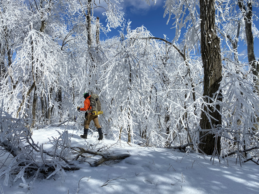
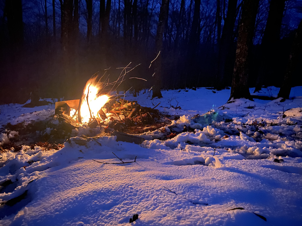
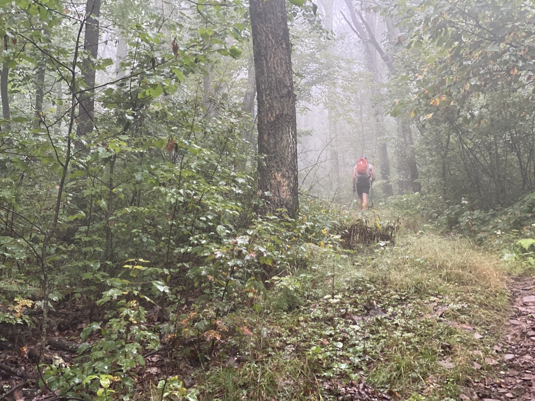
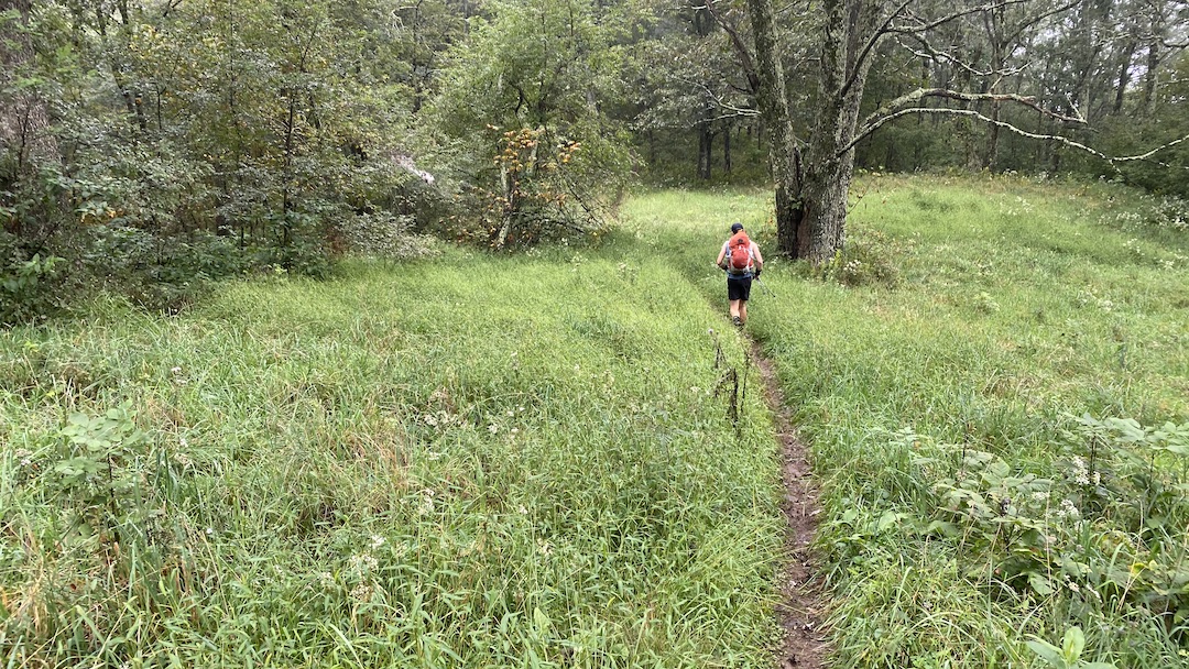
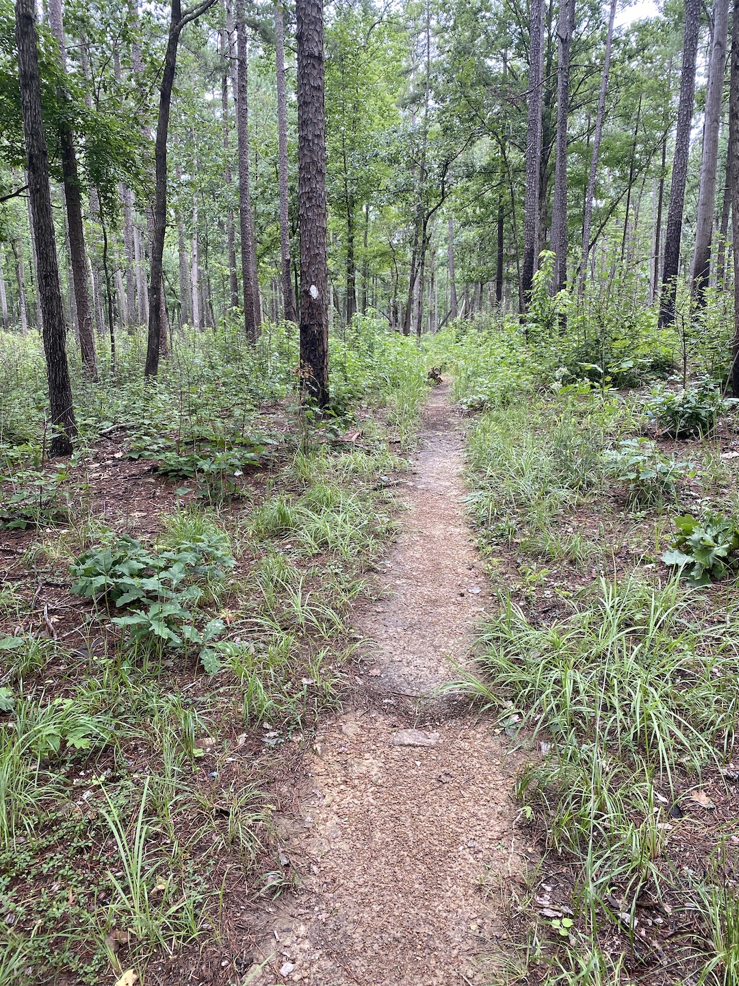
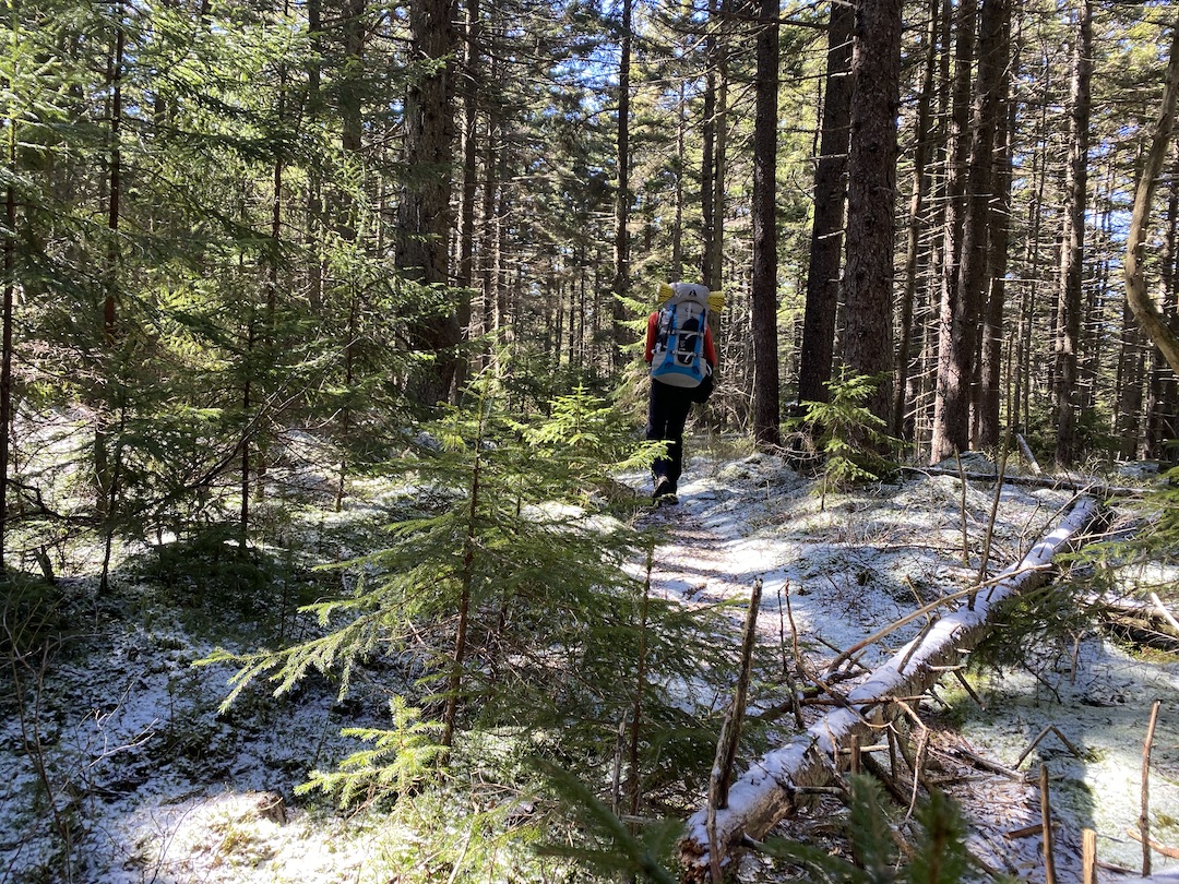
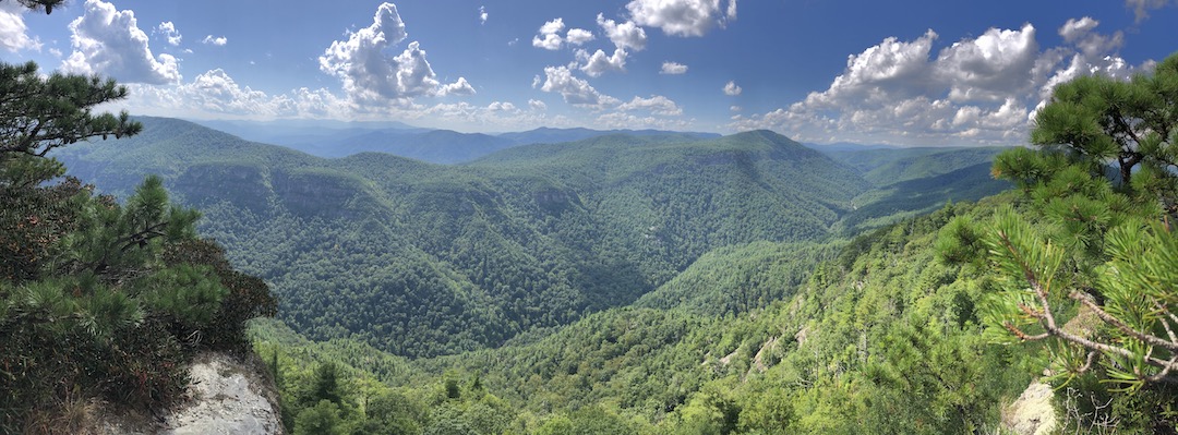
The Monongahela National Forest in West Virginia is home to some of the best backpacking options on the east coast. My buddy, Coop, and I had already visited Dolly Sods and Roaring Plains within the forest, but we hadn’t had a chance to check out the 47,815 acre Cranberry Wilderness.

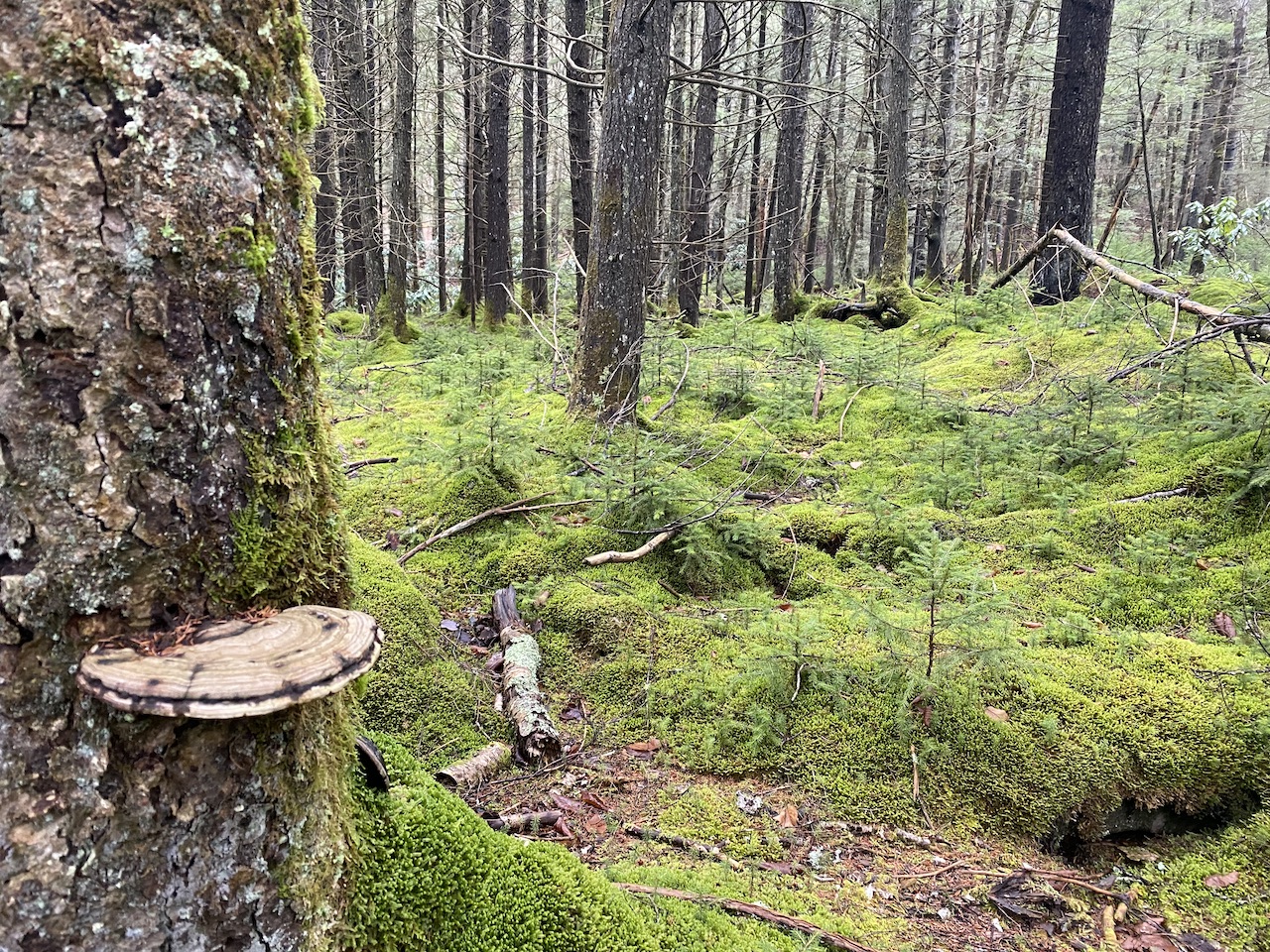
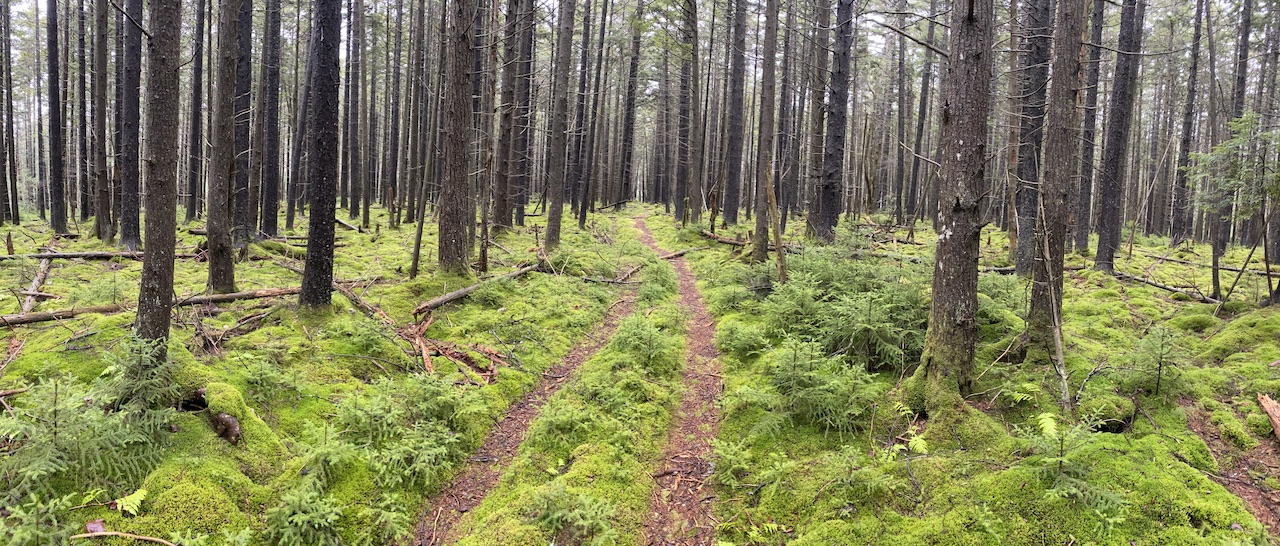
Situated between the Highland Scenic Highway to the east, the Williams River to the north, and the Cranberry River to the south and west, the Cranberry Wilderness includes more than 15 interconnected, unblazed, and well-maintained trails covering over 75 miles with elevations ranging from 2,400 to over 4,600 feet. Black bears are abundant and share the Wilderness with deer, turkeys, rabbits, mink, grouse, bobcats, and foxes.

Sounds awesome, right? Absolutely, that’s why we went.

READ MORE

Backpacking the Virginia Triple Crown: Bring water, not flip flops

hikers on top of a rock looking out at mountains
hiker passing a trail sign
Starting out on Andy Layne

If you’ve hiked the Appalachian Trail (AT) or seen photos of other people hiking the AT chances are you’ve seen Virginia’s Triple Crown. Located in the Roanoke Valley in Virginia’s Blue Ridge Mountains, the Triple Crown is comprised of three legs: Tinker CliffsMcAfee Knob, and Dragon’s Tooth. As a loop, the Triple Crown is 35.1 miles long with almost ~8,000′ of gain making for a challenging day hike or a manageable 2- or 3-day trip.

I considered the Triple Crown for a trip back in August, but opted for Linville Gorge due to 100° heat indices and lack of available water sources. With temps on the decline, my buddy, Coop, and I prayed for rain and started planning our trip.

READ MORE

Backpacking Linville Gorge: Get your feet wet

view of rolling mountains in the summer
View from Little Table Rock looking west.
Click to enlarge

The Linville Gorge Wilderness (LGW) is located within the Pisgah National Forest in the mountains of Western North Carolina. Nicknamed the “Grand Canyon of North Carolina”, it is formed by Jonas Ridge on the east and Linville Mountain on the west and is bisected by the Linville River which drops 2,000 feet into the valleys below. The nearly 12,000 acres of wilderness is unforgivingly steep, incredibly rugged, and is home to black bears, rattlesnakes, copperheads, and 80% of the world’s tick population.

Linville Gorge has been on my bucket list for years. This year, however, was going to be the year I actually went. In the springtime, I researched the area and decided to plan a May trip. As luck would have it, when I called the National Forest Service to secure a permit for my brother-in-law, Ken, and I, I was told there were no available permits. Undeterred, I called back two months later, and was able to reserve a permit for the second weekend in August.

Linville Gorge here we come!

READ MORE

Backpacking Mount Rogers AT Loop: There’s poop in them thar hills

trail head at mt rogers rec area
hiker on trail atop a mountain bald
Ken hikes south on AT from Scales over Stone Mtn.

Located in southwest Virginia, the Mount Rogers National Recreation Area (NRA), Grayson Highlands State Park, and surrounding National Forest lands are popular destinations for hikers and backpackers looking to log a few miles, take in breathtaking views, and observe wildlife of all types. In the past year or so, particularly along the Appalachian Trail (AT), the area has also become popular among black bears.

According to the Appalachian Trail Conservancy’s 2018 Bear Incident report, black bears have successfully retrieved more than 70 food bags hung in trees and damaged packs and tents as far south as Thomas Knob Shelter. As a result, the Forest Service closed the area for a time and, with the help of the Mount Rogers Appalachian Trail club, installed bear boxes at 6 sites: Thomas Knob Shelter, Rhododendron Gap between the AT and the Crest Trail, Wise Shelter, Old Orchard Shelter, Hurricane Mountain Shelter, and Trimpi Shelter.

With this in mind, my brother-in-law, Ken, and I decided to assume the risks and brave the crowds and bears for a Memorial Day weekend backpacking trip to the Mount Rogers National Recreation Area.

READ MORE

Backpacking the Birkhead Mountains Wilderness: Gnats, gnats, and more gnats

father and son camping
boy backpacks through woods
Hiking in the Birkhead Mountains Wilderness.

The Uwharrie National Forest was the destination for my son’s first two backpacking trips. It’s close to home, the trails are manageable for a young backpacker, and the chances of being eaten by a bear are next to zero. For his third trip, I was thinking of heading up north to Grayson Highlands or west towards Pisgah, but opted to suggest a return to Uwharrie via the Birkhead Mountains Wilderness as we were expecting a couple other people to join us.

Established by the 1984 North Carolina Wilderness Act, the Birkhead Mountains Wilderness includes 5,000+ acres at the northern end of the oldest mountains on the North American Continent, the Uwharrie Mountains. It was used by early Native Americans over 12,000 years ago, explored by Europeans in the late 1600s, settled in 1760, and expanded by John Watson, son of the Birkhead family, in the late 19th century. Today, the Birkhead Mountains Wilderness has over 16 miles of designated hiking trails (i.e. horses, motorized vehicles, and mountain bikes are prohibited) that are enjoyed by hikers, backpackers, and trail runners.

I shared what I knew about the area with my son, broke the news that our two friends had to back out, and let him rethink our destination. In the end he chose Birkhead.

READ MORE