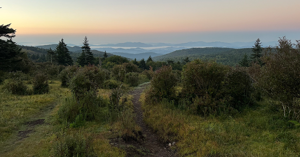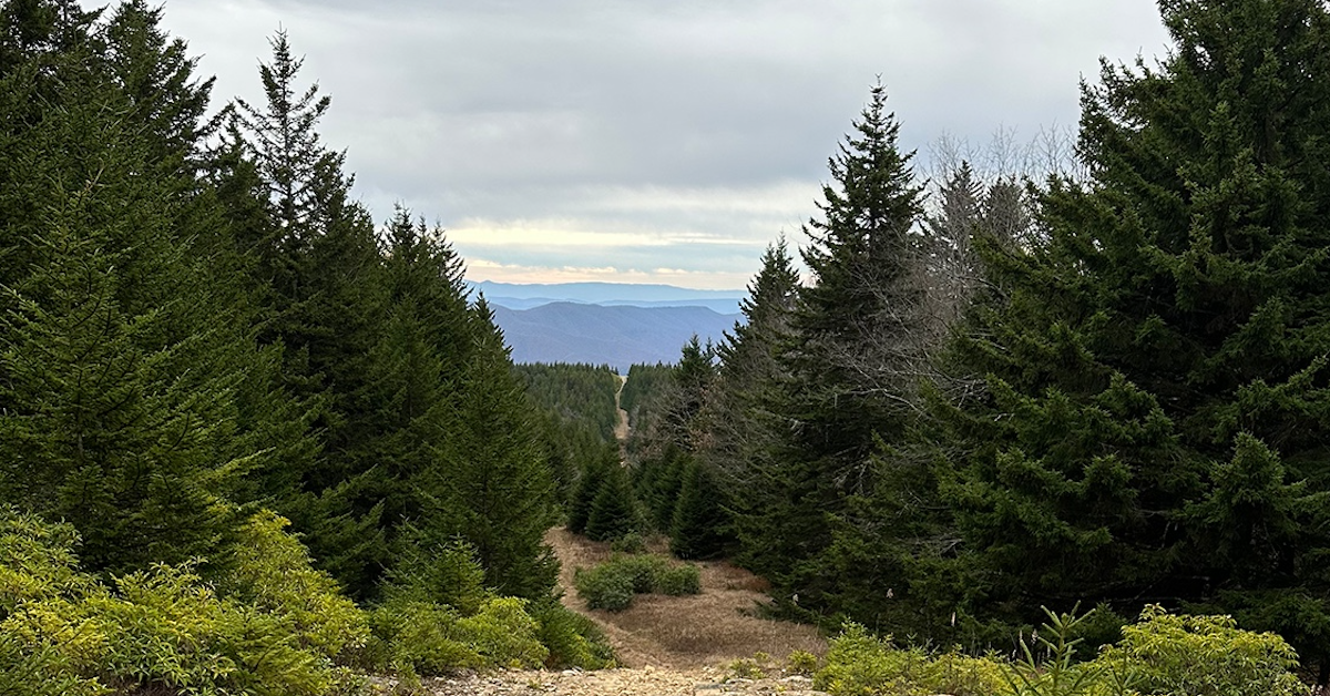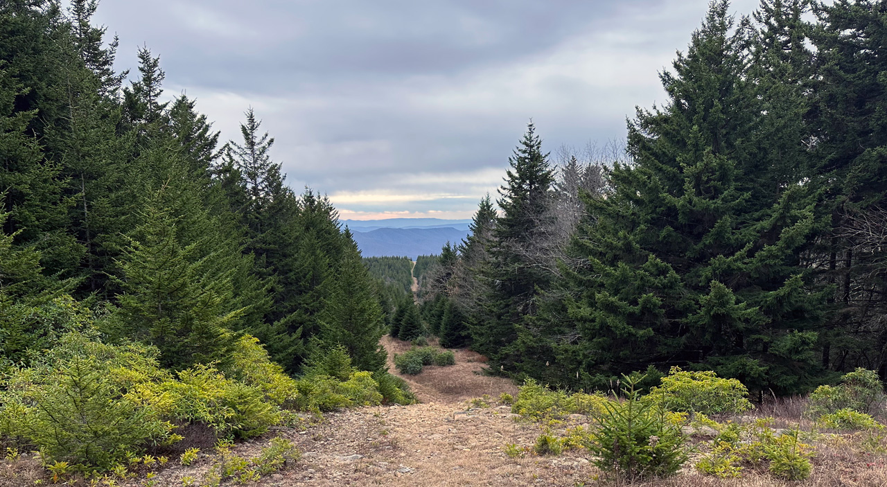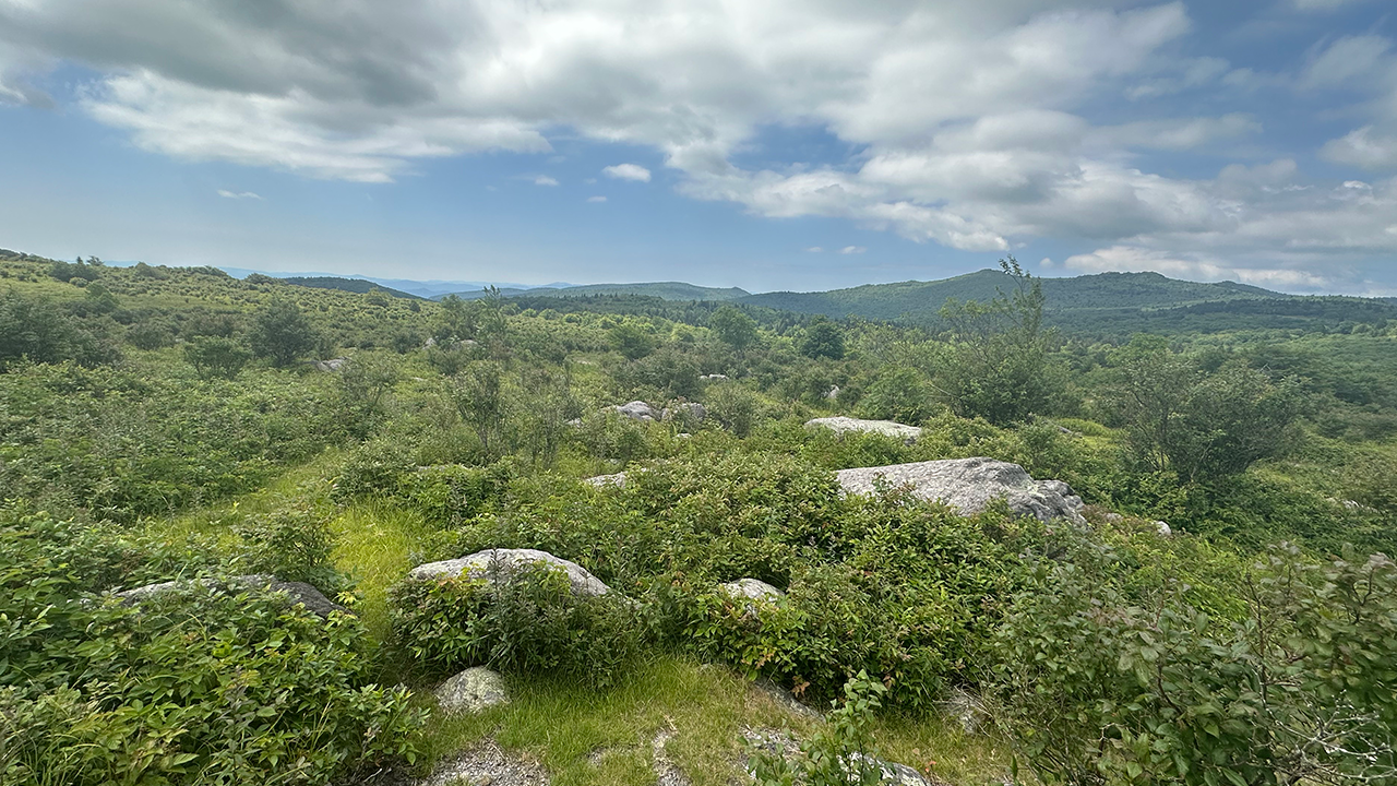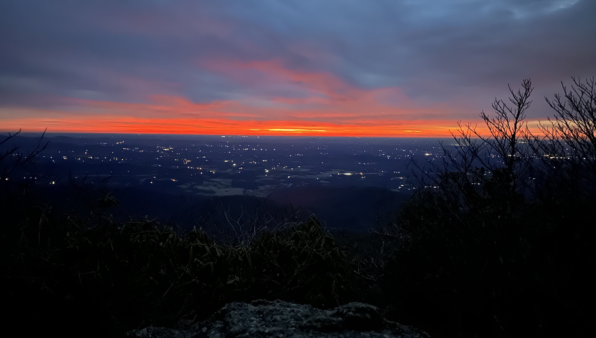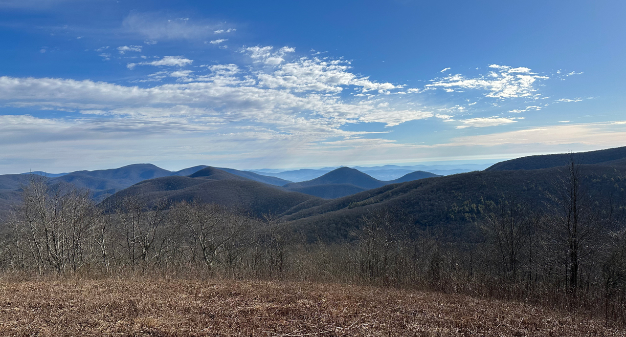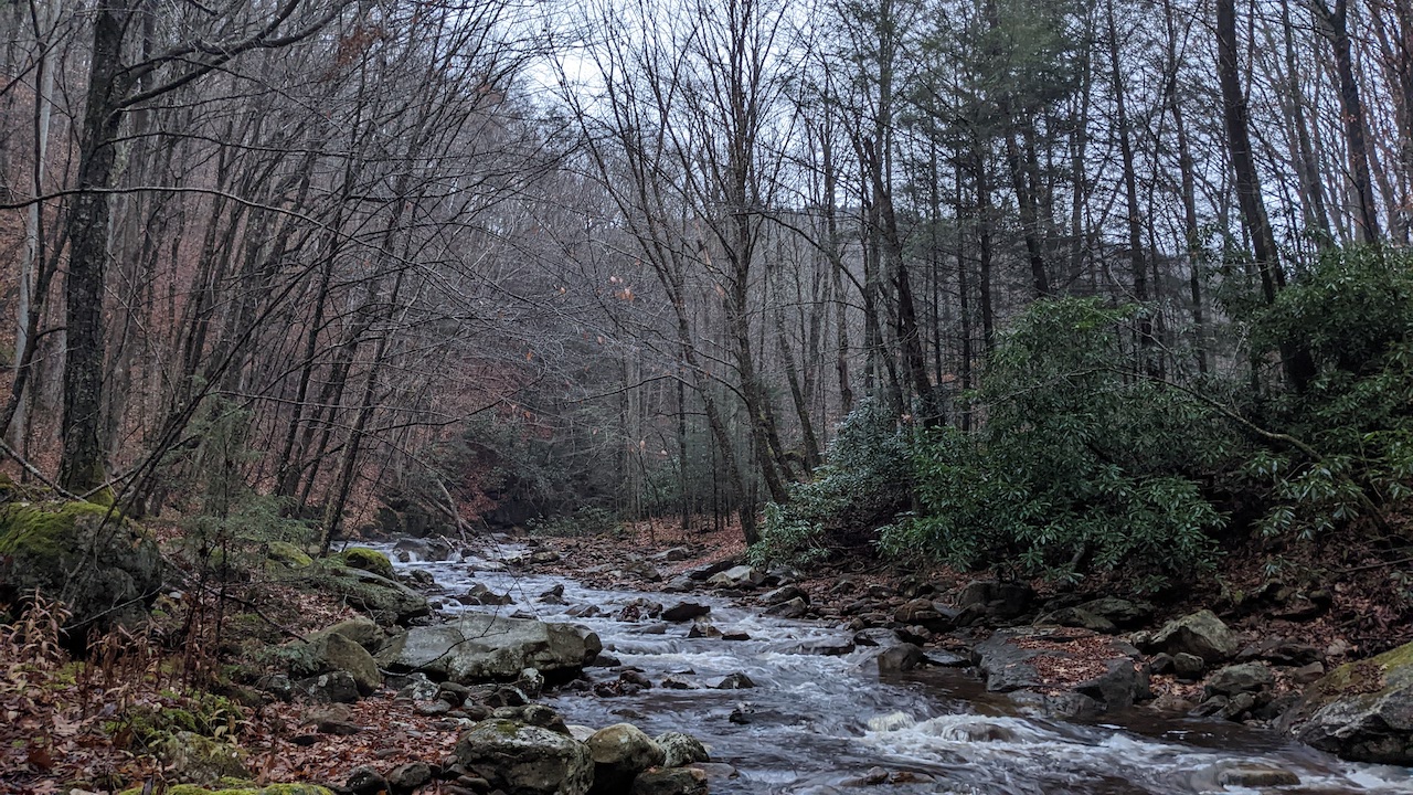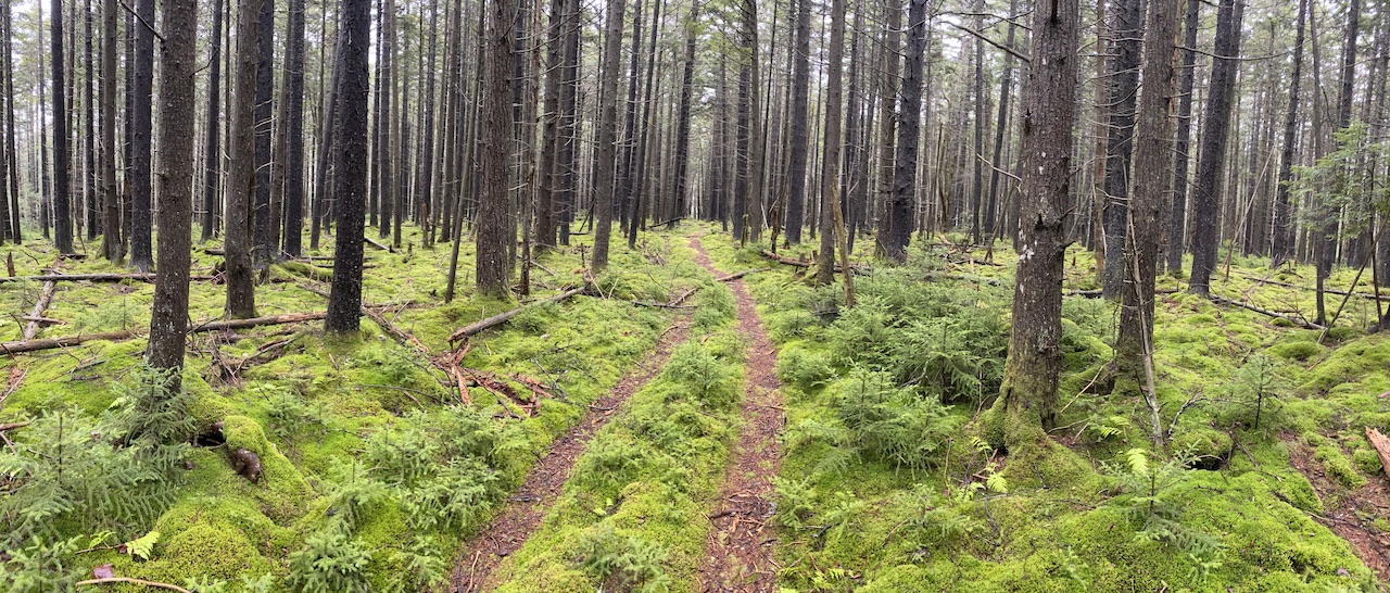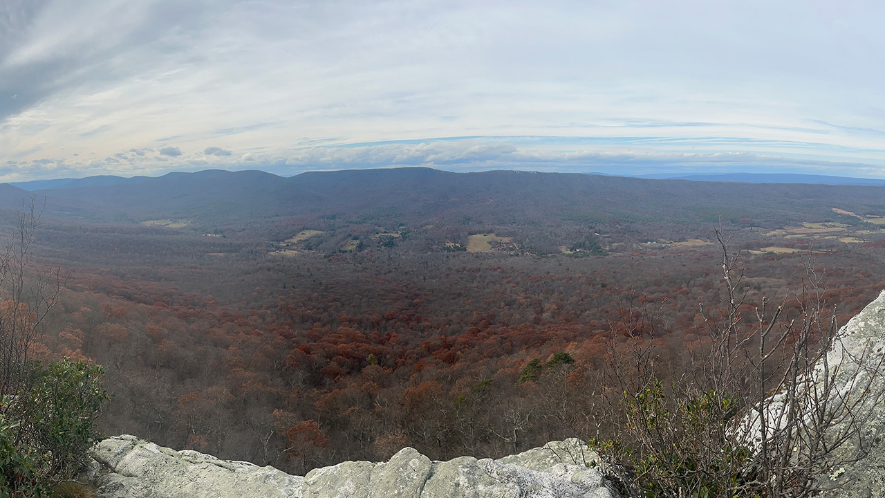
The Perry Valley Loop, also known as the Trout Run Valley Loop, is a demanding 30-ish mile route within the George Washington National Forest in West Virginia, though it briefly traverses the Virginia border and the Wardensville Wildlife Management Area. The strenuous loop features 5,000 feet of elevation gain and is famous for its overlooks at Big Schloss, Tibbet Knob, and Halfmoon Mountain.
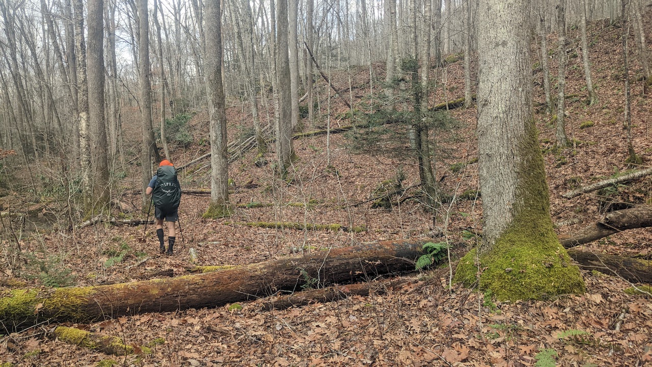
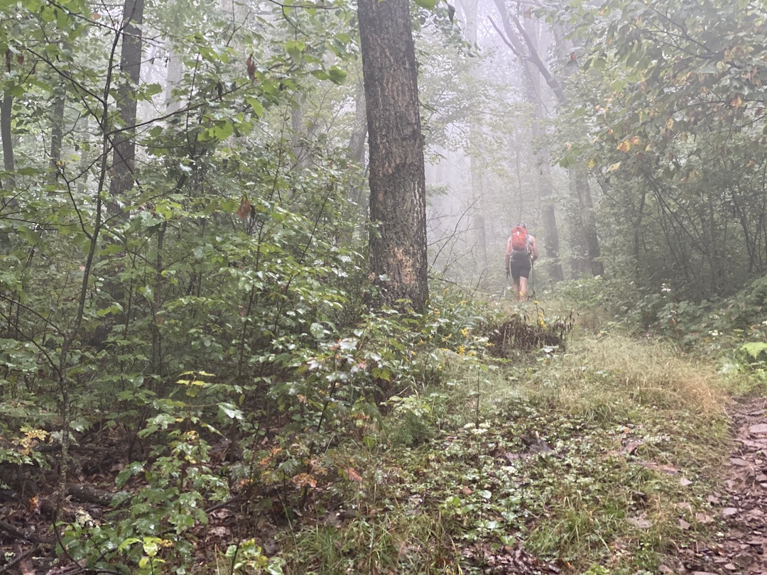
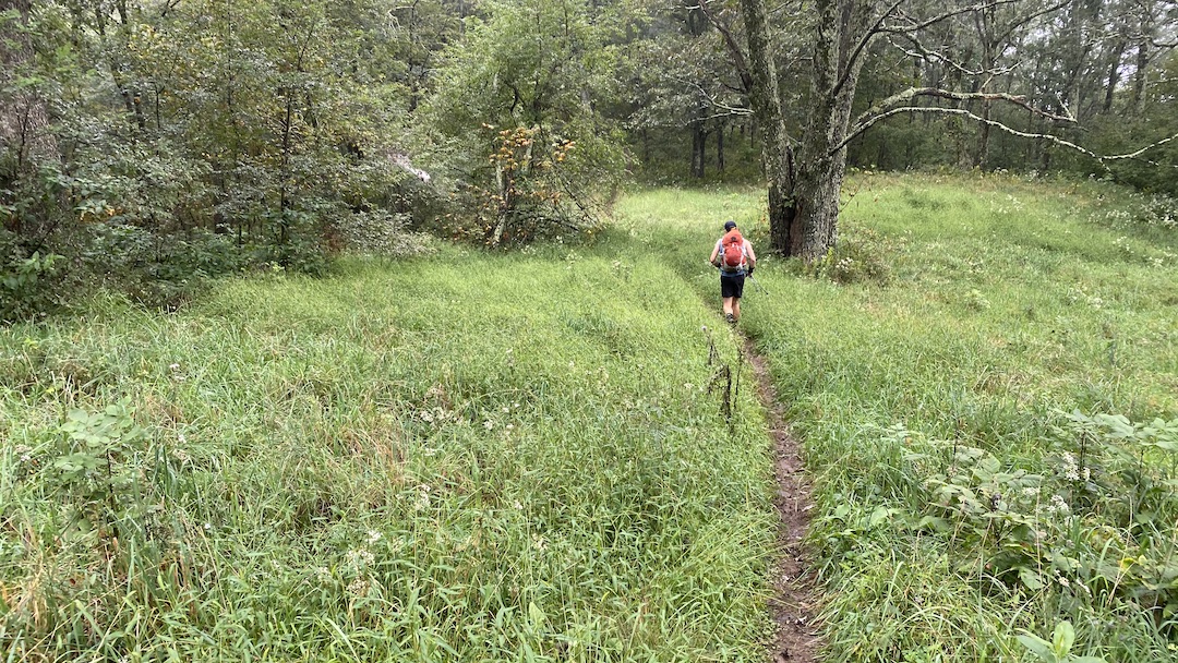
Having visited many a locale in both states previously, my buddy, Coop, and I decided to visit this new, two-state area, with the hopes of catching some views and good times.
READ MORE