Tag: pisgah

Backpacking the Cold Mountain Loop: Forecasts can’t be trusted

View from Cold Mountain Summit
Cold Mountain survey marker
Cold Mountain Summit

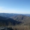
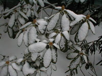
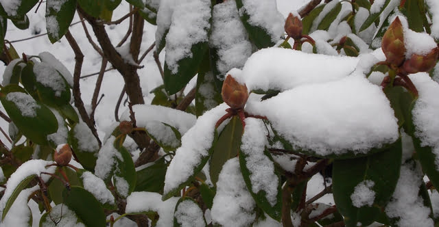
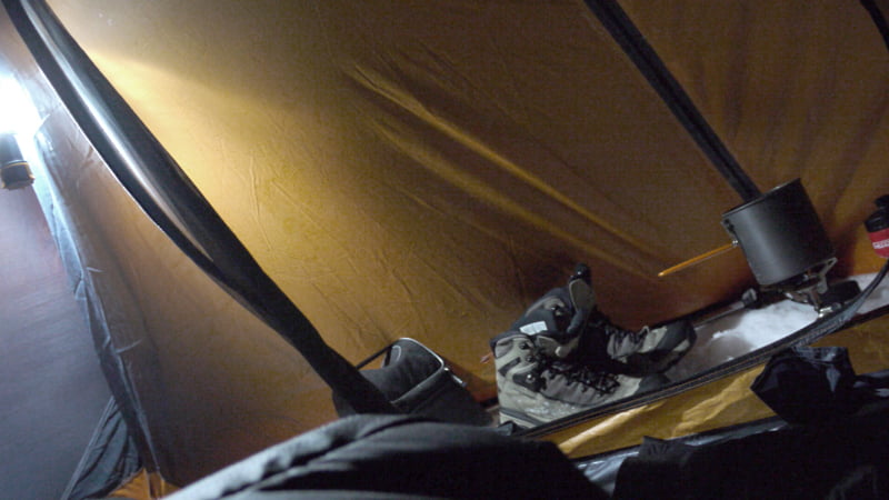
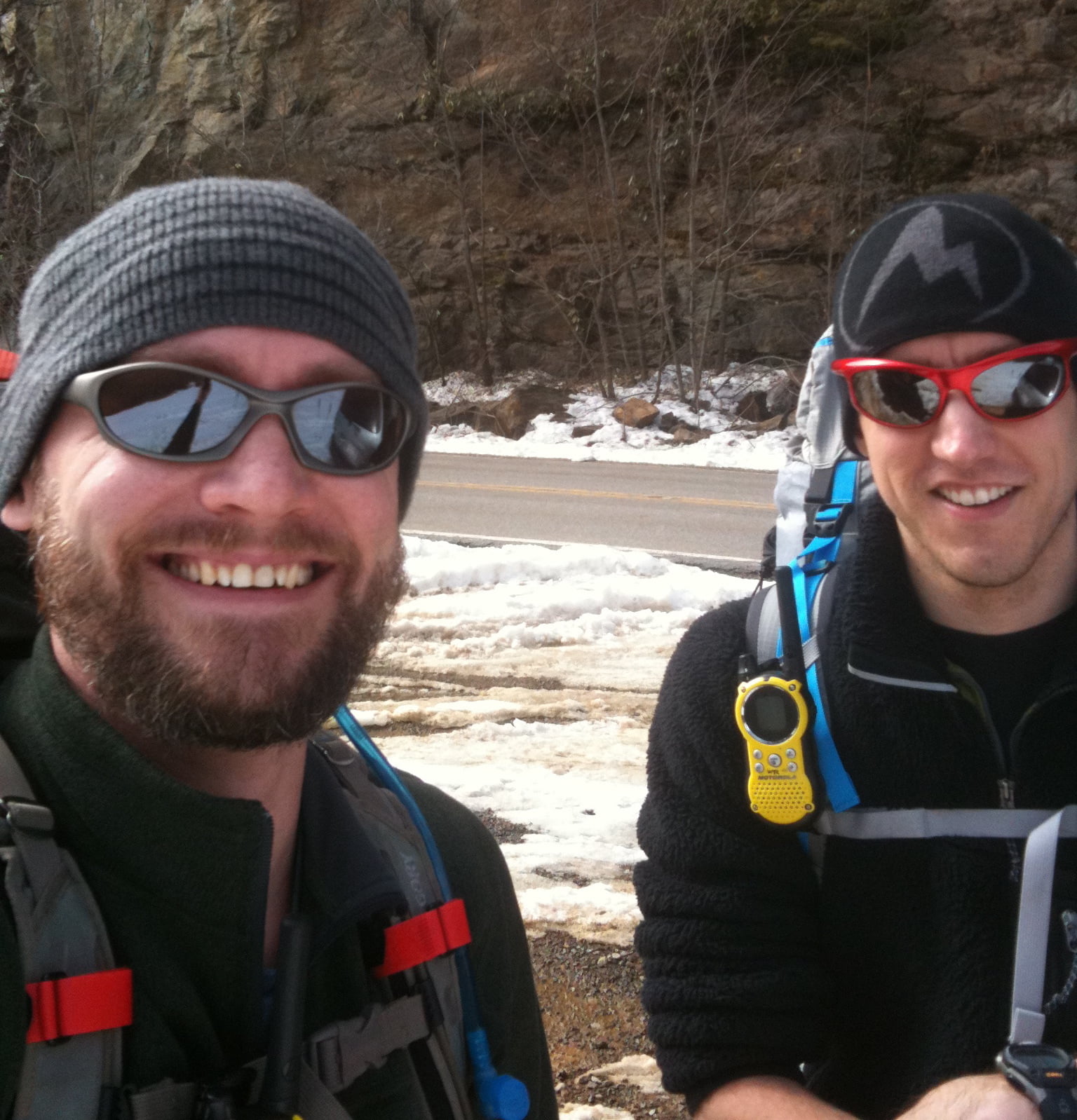
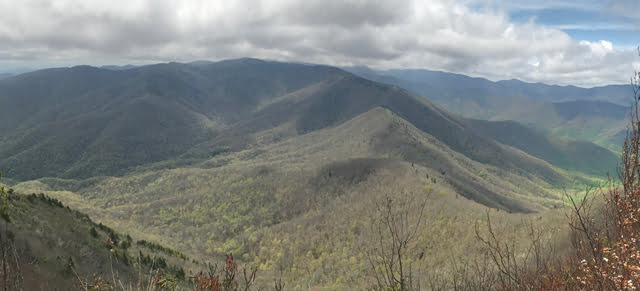
There’s a saying that if you’re backpacking and you don’t like the forecast, wait five minutes and it’ll change. That was certainly the case on a recent backpacking trip I took to the Shining Rock Wilderness with my brother-in-law, Ken. In the 10 days leading up to the trip we watched the wilderness area forecast change daily from hot to cold, sun to rain, and breezy to gale force winds.

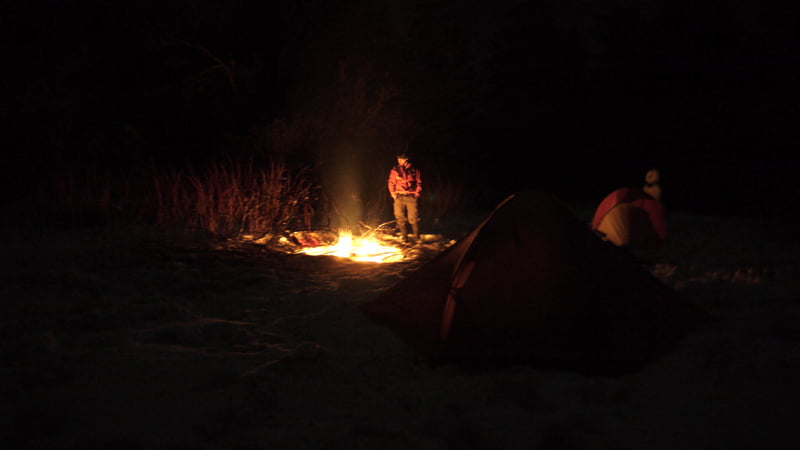
In addition to the weather the Shining Rock Wilderness has a couple of rules that impacted our trip. First, no campfires. It’s a rule, and unfortunately many take it as a “rule” including the ones responsible for the recent fire at Cold Mountain that burned 132 acres. Second, in the past few years the bear population has increased resulting in greater than normal bear sightings and bear encounters (one backpacker had a bear enter his tent and remove his backpack). As a result, the U.S. Forest Service requires bear canisters in the Shining Rock Wilderness.

READ MORE

Backpacking in NC: Flat Laurel Creek to Cold Mountain

Sam Knob summit
Sam Knob summit

In 2010, my buddy, Coop, and I met Chris, a fellow backpacker, at the base of Shining Rock in North Carolina. At the time, Chris had just turned back due to extreme winter conditions, and we were looking for a place to camp before the sky went dark and we froze to death. After surviving the night, the three of us exchanged contact information and suggested we get together again in the future.

This past weekend, almost two years later, the three of us realized the suggestion. Coop and I started at Sam Knob via the Flat Laurel Creek trail off of NC Highway 215/Lake Logan Road on Friday, ran an impromptu 5K to the top of Sam Knob’s 6,055′ peak, and Chris joined us on Saturday morning at the Black Balsam Road parking lot en route to Cold Mountain.

READ MORE

Lost on Shining Rock: Day Four

Search and rescue sign
search and rescue note

2/23/10, 6AM, Day 4: Our watch alarms go off at 6AM. Daybreak is nearing. Time to break camp, fill bottles, drink coffee, and plot our course. With plenty of sunlight, we can see how to avoid the thickest patches and travel the safest route down the mountain. The downside? The slopes are steep, there’s 3 feet of snow on the ground, there are fallen trees everywhere, and to top it off, there are coyote, bobcat, and mountain lion tracks on both sides of the creek.

CHRIS: Let’s not die.

COOP: And when we don’t, let’s get Big Macs.

CHRIS: Agreed.

READ MORE

Lost on Shining Rock: Day Three Part 2

snow covered leaves
Rhododendron covered with snow

2/22/10, 2AM, Day 3 Part 2: Just moments ago Search and Rescue (SNR) told us we were on our own. So much for being airlifted on a chopper. Wonder if we’d have to pay for an air rescue. Not that it matters though. According to SNR, we have to keep walking in the direction we’re headed (which we don’t know). The trail will get steep (i.e. “just shy of cliff.”) And, once we cross the valley and climb the slope we’ll be on Old Butt Knob (maybe). Is that all? Well, shoot. Honey, set me a plate. I’ll be home in a few.

CHRIS: Dude, this totally blows. Let’s get off this mountain before the weather hits.

COOP: Word.

READ MORE

Lost on Shining Rock: Day Three Part 1

Inside a tent
insider of a hiker's tent

2/22/10, 2AM, Day 3: Morning comes sooner than expected. At 2AM rain starts to fall. At 4:15AM sleet begins to accumulate. By 6AM our tent domes sag thanks to a fresh 5 inches of sleet and snow. Thanks weatherman. Any hope of following tracks are gone. The 3 feet of snow is now 3 and a half feet. Looks like we are going to have to posthole our way down the mountain. I’m not sure about you, but when I have to lift my leg to my ear 400 hundred times in a row, I get tired. Eventually we find a clearing. Clouds settle in bringing visibility down to about 10 feet. Compass says we need to go up the mountain through all the rhododendrons. Seriously, who’s in charge of landscaping around here? We melt snow to fill our bottles and bladders, and use the surplus for a cup of coffee.

The pu-pu platter of whiteout, waist-deep snow, and bobcat tracks make choosing the correct path difficult. We choose a path that takes us through rhododendrons (a.k.a. the vineys) for a good quarter mile.

READ MORE

Lost on Shining Rock: Day Two

Shining rock campfire
hiker by a fire

2/21/10, 6:00AM, Day 2: Sun up at 6AM. Oatmeal and coffee are the morning’s priorities. I break down my tent and fill up on water—not sure how long the creek will follow us up the mountain. By 7AM, Coop and Bigfoot wake and join me at the fire pit. Photo ops take up a few minutes after breakfast. Bigfoot tries out my poles out of curiosity. At 9AM it’s time to gear up. Coop and I part ways with Bigfoot and continue up the trail.  Nice to be hiking on an actual trail. For the first hundred yards it’s hard-packed snow. After that, we’re off trail and following Bigfoot’s tracks from the previous day.

READ MORE

Lost on Shining Rock: Day One

two hikers

Not all those who wander are lost.

– J.R.R. Tolkien

The mountains of North Carolina are a thing of beauty when viewed from afar. They are an even greater spectacle when you experience them up close. And when snow blankets the ground they are truly wondrous. Until they’re not.

This past weekend my buddy, Coop, and I set our sights on the Shining Rock Wilderness for this year’s winter backpacking trip. We monitored the location via webcam, checked the weather forecast daily, and packed the essentials we thought we’d need. We planned everything out meticulously, and fully expected a flawless trip that we’d remember for a lifetime.

READ MORE