Tag: hiking

Backpacking The Priest Wilderness: A shot at redemption

hiker on the AT
hiker on the AT
Walking up The Priest (photo by Coop)

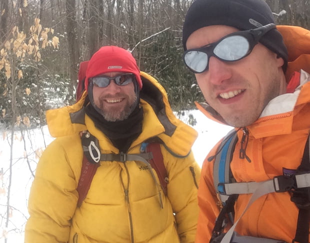
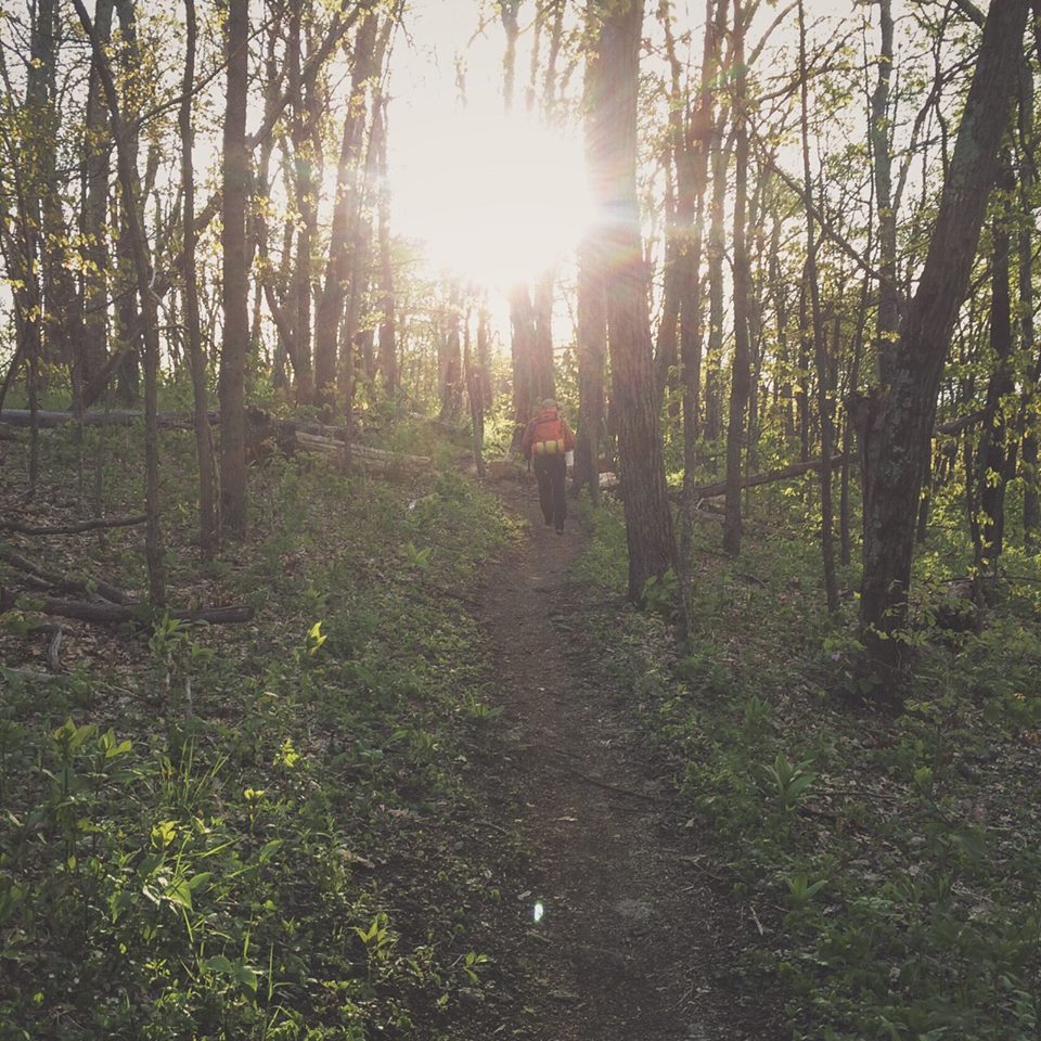
In October 2014, Coop and I planned an ambitious 20-mile hike with nearly 10,000′ of elevation gain through the Three Ridges and Priest Wildernesses. Ambitious because, at the time, I was two months out of shoulder surgery and I hadn’t been particularly active. Still, like my third helping at Thanksgiving, the trip seemed doable.

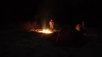
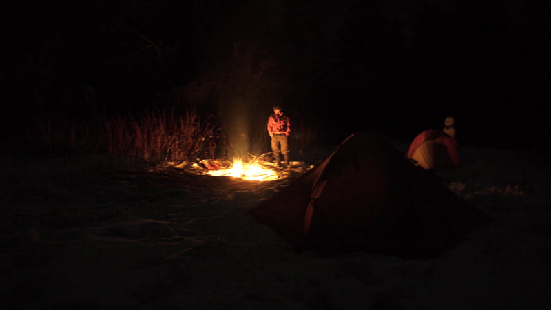
As the story goes, we hiked 3.2 miles along Mau-Har trail and another 11 miles over Three Ridges until returning to the parking lot at Crabtree. Then my wheels fell off, and we ended up camping about a half mile up the trail. That night, Coop vowed a return trip to finish what we started.

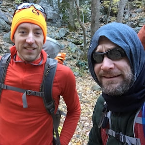
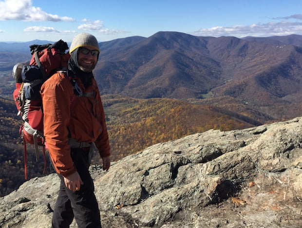
Flash forward a year and a half to a time between new babies and tee-ball practice. Coop asked me if I wanted to give The Priest another go. I agreed and he followed up with a plan that would take us up and over The Priest and onto Spy Rock. We’d spend the night near Spy Rock and hike back down the next day. In total, according to hillmap.com, we’d knock out 14.5 miles with ~5,000′ of elevation gain and loss. Perfect.

READ MORE

Backpacking Mt. Rogers Recreation Area in February

Three days later...
Three days later…

For our annual winter backpacking trip, my buddy, Coop, and I decided on Mt. Rogers Recreation Area. We’d been there in 2011 when we hit up Grayson Highlands to see the wild horses. It’s a great place with great views, and it’s also home to the highest point in Virginia. What makes Mt. Rogers Area a particularly good spot for the winter is the number of trails through and around the area. A must when weather forces routes to change. Something that often happens at Mt. Rogers where winds and temps are known to change in minutes.

Still, we opted to plan our trip ambitiously and play the rest by ear.

READ MORE

Backpacking the Three Ridges Wilderness

atop three ridges
Just past the Northern Knoll of Three Ridges looking at The Priest

I’ve been itching to go backpacking since my July trip to Panthertown Valley. Four months later, and just two months after shoulder surgery, I got to scratch my itch in the Three Ridges Wilderness, located in the George Washington and Jefferson National Forests. My buddy, Coop, mapped out a sweet 20-mile hike with elevations ranging from 1,000′ to 3,790′ at the summit of Three Ridges Mountain.

READ MORE

Backpacking Fontana Lake

fontana Feat
shuckstack-map
Shuckstack Tower Trail
Click to enlarge

I love a good hike. I love the peacefulness it brings. The camaraderie it provides when traveling with friends. And,  I enjoy a good challenge. This past weekend I got my wish.

Three buddies and I hiked the Great Smoky Mountains via Fontana Dam. As an added bonus the lot of us hit up Tsali Campground for a couple nights where we swam a bit, fished, got poured on, and hit up the Nantahala River for a ride.

We arrived at Fontana Dam on Saturday around noon, grabbed a permit from the dam welcome center, and began unloading our packs from the car. Within minutes it was evident that the 100° F (37.7° C) temperatures were going to be a factor in our planned 12-mile hike. Every one of us were sweating buckets. Thank God for water bladders and bottles.

READ MORE

How-To: Make a trekking pole from a branch

3 trekking poles
3 trekking poles

On my last backpacking trip, as I made my way to Cold Mountain one of my aluminum Black Diamond trekking poles snapped.  The cause baffled me. I planted the pole in the mud, leaned forward, and as I did the pole just went. With over a day and half of hiking to go, I stopped and made a hiking pole from a fallen branch.

The following day I needed to put the stick away, but it was wood and much too long to do anything with so I was forced to carry it. As I walked back, ideas for how to make a trekking pole started popping in my head.

If you’re interested in making your own, keep reading. It’s actually pretty easy. You’ll need a few things, some tools, and about an hour to do the brunt of the work.

READ MORE

Backpacking in NC: Flat Laurel Creek to Cold Mountain

Sam Knob summit
Sam Knob summit

In 2010, my buddy, Coop, and I met Chris, a fellow backpacker, at the base of Shining Rock in North Carolina. At the time, Chris had just turned back due to extreme winter conditions, and we were looking for a place to camp before the sky went dark and we froze to death. After surviving the night, the three of us exchanged contact information and suggested we get together again in the future.

This past weekend, almost two years later, the three of us realized the suggestion. Coop and I started at Sam Knob via the Flat Laurel Creek trail off of NC Highway 215/Lake Logan Road on Friday, ran an impromptu 5K to the top of Sam Knob’s 6,055′ peak, and Chris joined us on Saturday morning at the Black Balsam Road parking lot en route to Cold Mountain.

READ MORE

Lost on Shining Rock: Day Four

Search and rescue sign
search and rescue note

2/23/10, 6AM, Day 4: Our watch alarms go off at 6AM. Daybreak is nearing. Time to break camp, fill bottles, drink coffee, and plot our course. With plenty of sunlight, we can see how to avoid the thickest patches and travel the safest route down the mountain. The downside? The slopes are steep, there’s 3 feet of snow on the ground, there are fallen trees everywhere, and to top it off, there are coyote, bobcat, and mountain lion tracks on both sides of the creek.

CHRIS: Let’s not die.

COOP: And when we don’t, let’s get Big Macs.

CHRIS: Agreed.

READ MORE

Lost on Shining Rock: Day Three Part 2

snow covered leaves
Rhododendron covered with snow

2/22/10, 2AM, Day 3 Part 2: Just moments ago Search and Rescue (SNR) told us we were on our own. So much for being airlifted on a chopper. Wonder if we’d have to pay for an air rescue. Not that it matters though. According to SNR, we have to keep walking in the direction we’re headed (which we don’t know). The trail will get steep (i.e. “just shy of cliff.”) And, once we cross the valley and climb the slope we’ll be on Old Butt Knob (maybe). Is that all? Well, shoot. Honey, set me a plate. I’ll be home in a few.

CHRIS: Dude, this totally blows. Let’s get off this mountain before the weather hits.

COOP: Word.

READ MORE

Lost on Shining Rock: Day Three Part 1

Inside a tent
insider of a hiker's tent

2/22/10, 2AM, Day 3: Morning comes sooner than expected. At 2AM rain starts to fall. At 4:15AM sleet begins to accumulate. By 6AM our tent domes sag thanks to a fresh 5 inches of sleet and snow. Thanks weatherman. Any hope of following tracks are gone. The 3 feet of snow is now 3 and a half feet. Looks like we are going to have to posthole our way down the mountain. I’m not sure about you, but when I have to lift my leg to my ear 400 hundred times in a row, I get tired. Eventually we find a clearing. Clouds settle in bringing visibility down to about 10 feet. Compass says we need to go up the mountain through all the rhododendrons. Seriously, who’s in charge of landscaping around here? We melt snow to fill our bottles and bladders, and use the surplus for a cup of coffee.

The pu-pu platter of whiteout, waist-deep snow, and bobcat tracks make choosing the correct path difficult. We choose a path that takes us through rhododendrons (a.k.a. the vineys) for a good quarter mile.

READ MORE

Lost on Shining Rock: Day Two

Shining rock campfire
hiker by a fire

2/21/10, 6:00AM, Day 2: Sun up at 6AM. Oatmeal and coffee are the morning’s priorities. I break down my tent and fill up on water—not sure how long the creek will follow us up the mountain. By 7AM, Coop and Bigfoot wake and join me at the fire pit. Photo ops take up a few minutes after breakfast. Bigfoot tries out my poles out of curiosity. At 9AM it’s time to gear up. Coop and I part ways with Bigfoot and continue up the trail.  Nice to be hiking on an actual trail. For the first hundred yards it’s hard-packed snow. After that, we’re off trail and following Bigfoot’s tracks from the previous day.

READ MORE