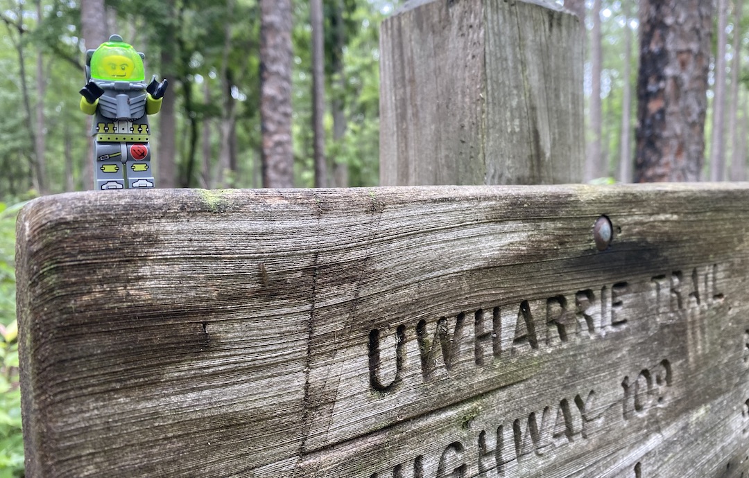
After being cooped up in my house for months I saw a break in the clouds and asked my better half for permission to leave our suburban landlocked ship and escape into the woods with my brother-in-law, Ken. Since neither he or I have interacted with humans outside of our own domiciles, I was granted 36-hour leave and began the planning process with a focus on the Uwharrie National Forest.
In the past few months, Uwharrie has been my go to spot for hiking and trail running so I thought I’d elevate its status as a go to backpacking destination. It’s close to home, has lots of nature, and I can sleep there.
THE PLAN
While running the Uwharrie 40 miler back in February, I made note of some of the places I had yet to explore with a pack. After looking ’em over, Ken and I decided on a 16-mile route that starts at Yates Place Camp, follows the Uwharrie Trail north to Morris Mountain Road, and lollipops back south.
Our route decided, we shifted focus to the weather. Seven days out, the forecast called for thunderstorms all day on Saturday and into the next morning. Temps were supposed to rise to the upper 80s (°F not °C) on Saturday (heat index in the 90s) and drop to the 70s on Sunday. The day before, rain chances decreased, but the forecast was still calling for strong storms Saturday afternoon and evening before clearing out by Sunday morning. Bottomline, we were going to get wet.
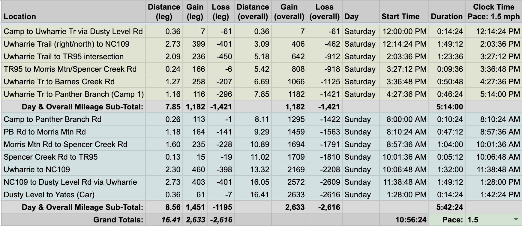
With route and weather information in hand, we built out the trip in a spreadsheet based on a 1.5MPH pace…
…created an elevation profile using Google Earth

…dropped in the route
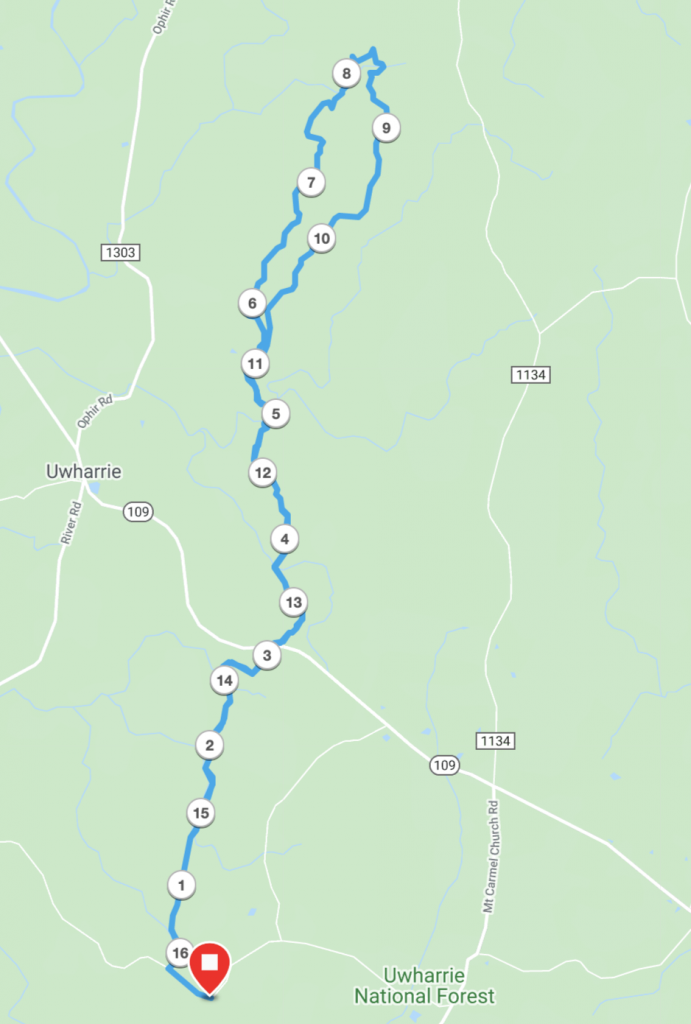
…and packaged it all in a map I printed on TerraSlate paper.
PACKING IT IN
An overnight summer trip usually means I don’t need much of anything. But, because rain was in the forecast I packed pants (10.9 oz) and a jacket (1 lb.). Of course, since I have come to enjoy certain creature comforts, I brought a chair (1 lb.) and an extra 10 x 8 tarp + stakes (1 lb 3 oz). When everything was packed, my 34L Stratos weighed in at 23 lbs. 2.3 oz (of which 6 lbs 11 oz were consumables).
Feel free to download a complete list of things I brought with me.
DAY 1 (7.84 MI | +1,152′ GAIN | -1,378′ LOSS)
I started a 10K+ run streak back in April and didn’t want to end it on account of backpacking so I got up early, ran, and then picked up Ken a bit later. We made the short trip to Yates Place Camp, waved hello to the site’s two occupants, made individual donations to the pit toilet, and shoved off around 12:30PM.
We walked Dusty Level Road west/northwest for 0.36 miles to the Uwharrie Trail, hung a right/north and continued down for a couple of miles before switching to a climb. Along the way, the occasional downed tree forced us to go under, around, and/or over in order to proceed. Near each creek, evidence of rising waters could be seen 30 feet from the creek bank (which included the trail and many campsites).
Just before 2PM we crossed NC Highway 109, glanced at the dark clouds off to the northwest, and followed the white blazes to the right/northeast. From the road, the trail flattens out before bottoming out 0.75 miles from the road. We crossed Cattail Creek, then continued up for a 0.25 miles before the trail, once again, turned down. We rode the roller coaster for another mile before utilizing a long bridge that spanned a very wide (and pretty stank) Spencer Creek.
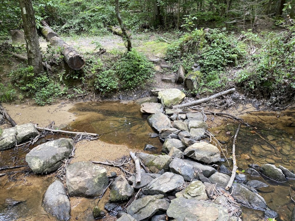
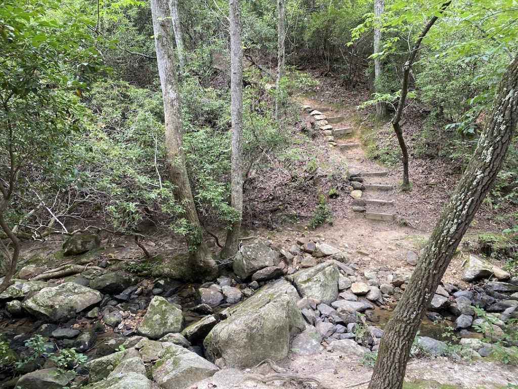
We could see a trail leading to a campsite off to the east and another to the west just off Uwharrie Trail. A quarter mile from the bridge we hit a fork. The left/northwest, a yellow-blazed West Morris Mountain Trail (TR95) leads to West Morris Mountain Campground. To the right/north-not-so-west-but-still-northwest, the Uwharrie continues on. We stuck to the right, crossed Morris Mountain Road 0.2 miles later, then continue to polish off the climb up from Spencer Creek.
By 3PM, thunder became louder and the sky a bit darker. By 3:30PM we were rolling over the last of the hills just as the rain started. Ken and I stopped to put rain covers on our packs, and then picked up the pace a bit. Within 30 minutes we arrived at a site that was…uh…less than ideal. Don’t get me wrong, it had plenty of space and a creek that ran along its edge, but it was clearly not the place I’d want to be if the rain started barking and meowing. We agreed to walk a bit further and if we couldn’t find anything we’d return to Shrek’s house.
Around 4PM, as luck (of the good kind) would have it, we came upon a second site at Panther Branch that looked like it could handle itself a bit better in a rain fight. Not only that, it was exactly where I had suggested we stay for the night (#16 on the Uwharrie Audio Tour). Yay planning!
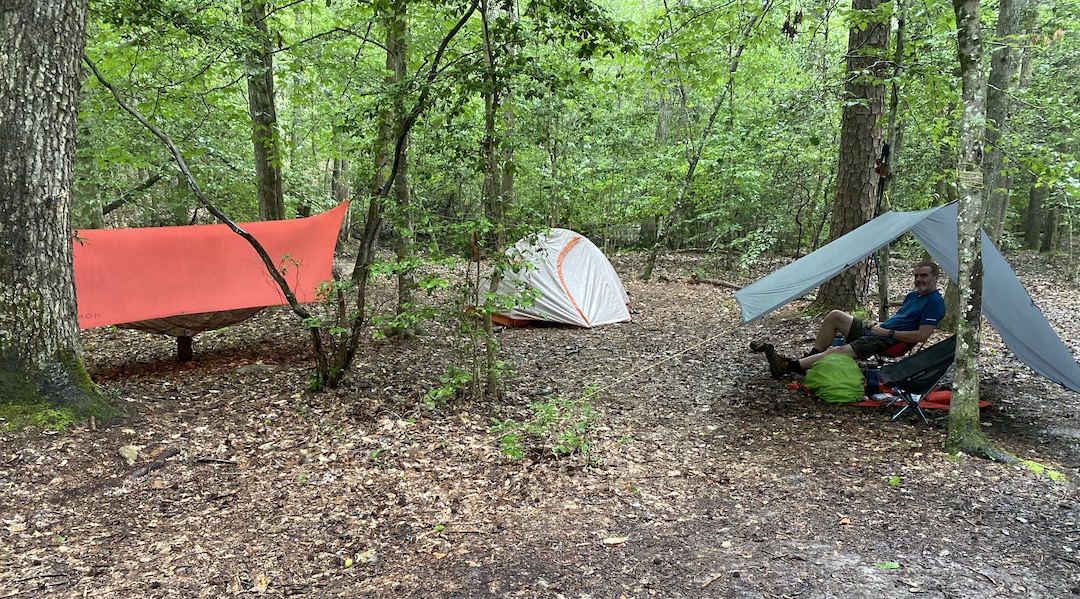
With the rain still falling, I put up the tarp while Ken set up his tent. Once finished, I hung my hammock and then we turned our attention to sitting and doing nothing which we followed with eating and then following that with more nothing. I mean, it was raining after all and we aren’t the Lord of the Flies types.
After dinner we moved our chairs out from under the tarp and took in a bit of cloud covered sunlight and fresh air until Señora Lluvia showed up 30 minutes later.
Back under the tarp we watched a backpacker pass by around 7:30PM. Twenty minutes the sky opened up. For serious, it was raining so hard the creeks swelled within minutes. I’m not sure where that dude stayed, but I really hoped he was in his tent.
After an hour of rain so intense we had to yell to understand each another from six feet away, we donned our head lamps and walked around. Frogs, toads, and spiders were aplenty. On the other side of the creek, a jackalope came to the water’s edge before blazing back up the hill when I shined a light in its direction.
Around 10PM we turned in. By 10:30PM the rain came in just as hard as before. Nothing left to do but count sheep.
Day 1 complete
DAY 2 (8.37 MI | +1,365′ GAIN | -1,224′ LOSS)
I woke around 4AM and had a heart attack around 5AM when a branch fell five feet from my tent. I laid my head back down for an hour then woke up to break things down. After lots of shaking, stuffing, and rolling, my gear was packed and I was moving on to breakfast (i.e. coffee and beef jerky).
As I sat chomping on my beef stick, the dude from the night before strolled by with a rain cover on his pack and head hanging low. We waved and said “Good morning”, but he didn’t acknowledge us in any way at all.
Thirty minutes later we were packed up and heading north up the trail towards Panther Branch Road a quarter mile away. The climb up was easy and uneventful. It’s worth pointing out that the weather was great. Cool and overcast with a hint of wind.
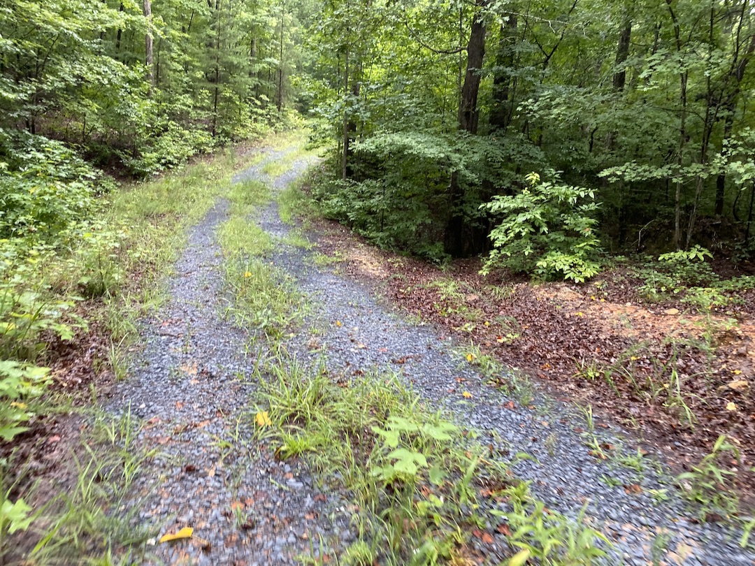
At Panther Branch Road we hung a right and took the very overgrown road down through Tickopolis for a mile, then made another right on Morris Mountain Road which wound its way around its namesake before intersecting Barnes Creek Overlook Road a half mile later.
On the map, Barnes Creek Overlook Road appears to end a tenth of a mile to the southeast. To the northwest, the trail continues on for 0.2 miles where it crosses over Uwharrie Trail before terminating at the peak of some hill a mile later (I can’t confirm, but that’s what the map suggests).
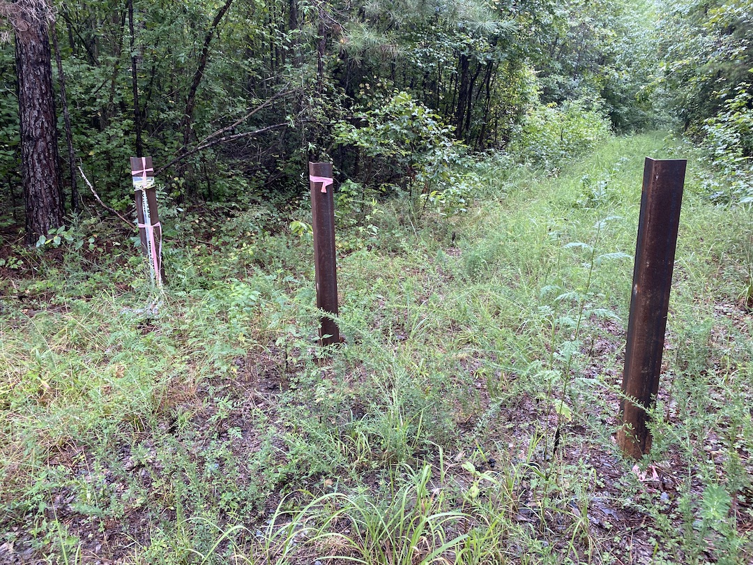
We continued down Morris Mountain Road for another mile before crossing over Uwharrie Trail 0.2 miles later. Truth be told, we nearly missed the intersection if it weren’t for the fact that A) we were looking for the trail, and B) we spotted a white blaze on a tree to the south.
FWIW, if we had continued straight/west we would have run into the West Morris Mountain Trail/TR95 leading to the West Morris Mountain Campground to the north and south to the Uwharrie Trail.
From the intersection we hiked down to Spencer Creek, crossed over the bridge, and turned up the trail towards NC109.
Two miles later we crossed the highway and came upon a very perplexed, vaping ultrarunner (who totally looked like the bad guy from Child’s Play before he turned into a doll). He let us know he was looking for his buddy and State Road 24/27. I let him know he was about 11 miles from where he wanted to be, and pointed him to a map at the NC109 trailhead. Stay in school kids.
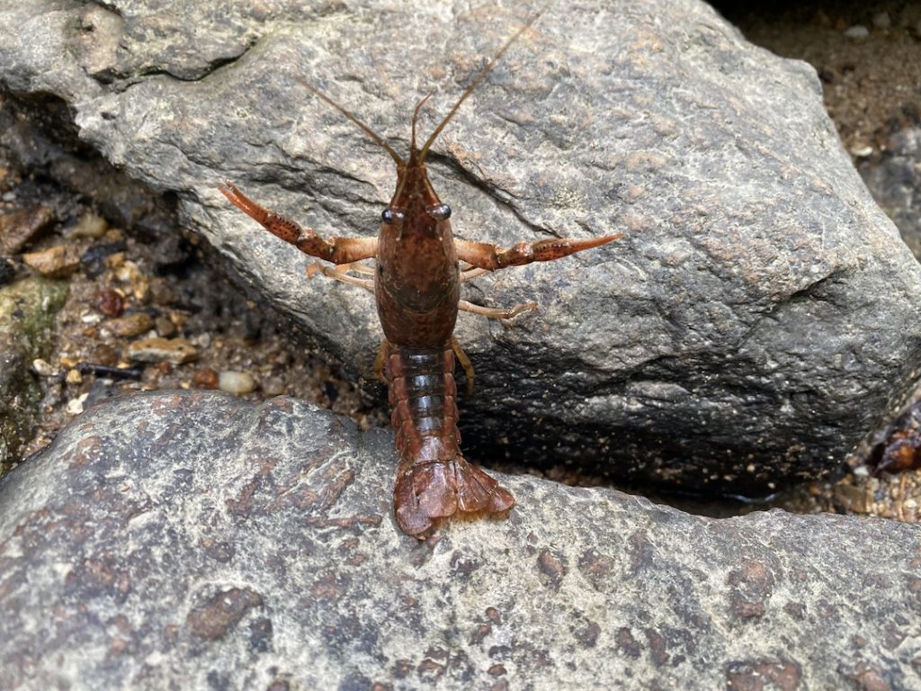
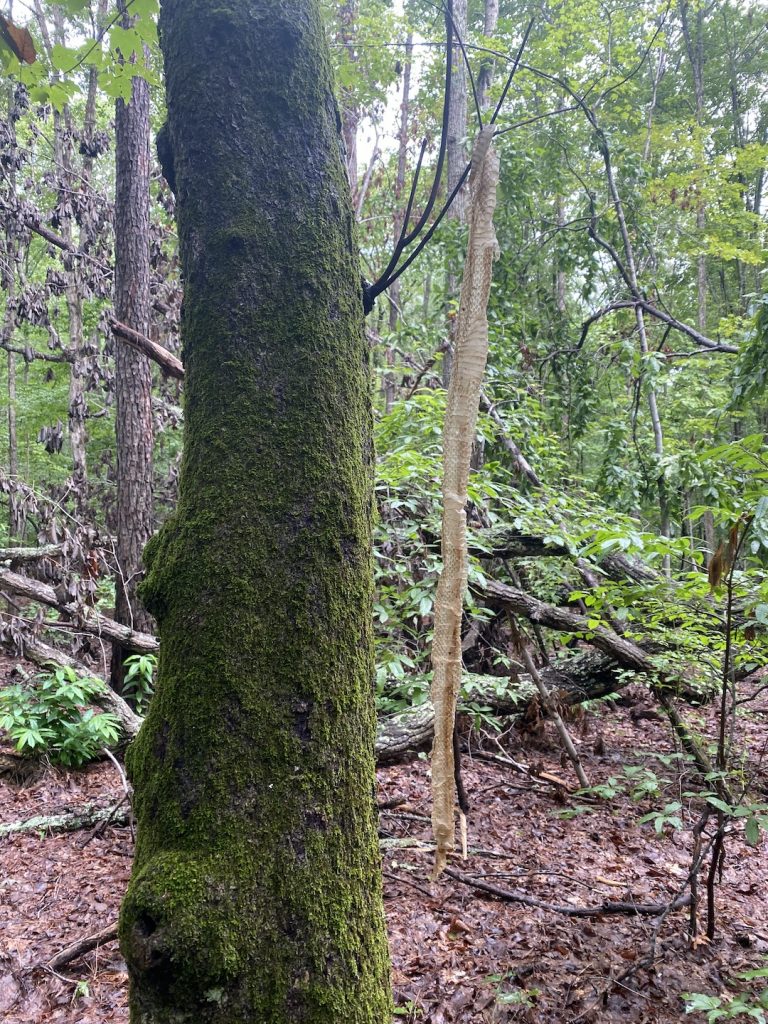
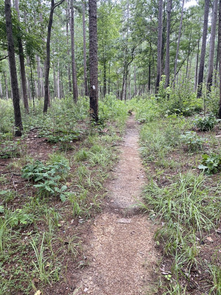
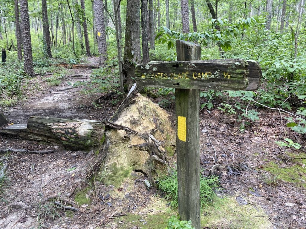
Ken and I put distance between us and Chucky and walked a half mile down to a creek where we stopped for a mid-morning break. Back on the trail, we hiked two miles and change in a bit less than an hour, crossed Dusty Level Road, and took Uwharrie Trail up to the Yates Camp spur trail where we finished off our day’s hike arriving at the car just before noon.
Trip complete.
TOTALS (16.21 MI | +2,517′ GAIN | -2,602′ LOSS)
FINAL THOUGHTS
Uwharrie is a great hiking, trail running, and backpacking destination. There are plenty of places to camp, loads of water sources, and plenty of well-maintained trails to traverse. The section between Yates Camp and Panther Branch is a decent bit of elevation gain and not well trafficked. If you’re looking for more options, head south of Yates Camp towards 24/27. Me, I think I’ll be headed north of Panther Branch for my next trip and in the not-to-far future, I’ll be taking the Uwharrie Trail all the way to Birkhead…Bigfoot ain’t gonna find himself!
