Tag: north carolina

Backpacking Doughton Park: Moose tracks and rain

grassy trail with blue skies
Coming up the MST towards the Blue Ridge Parkway

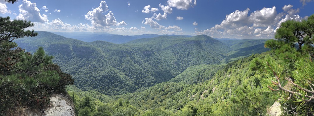
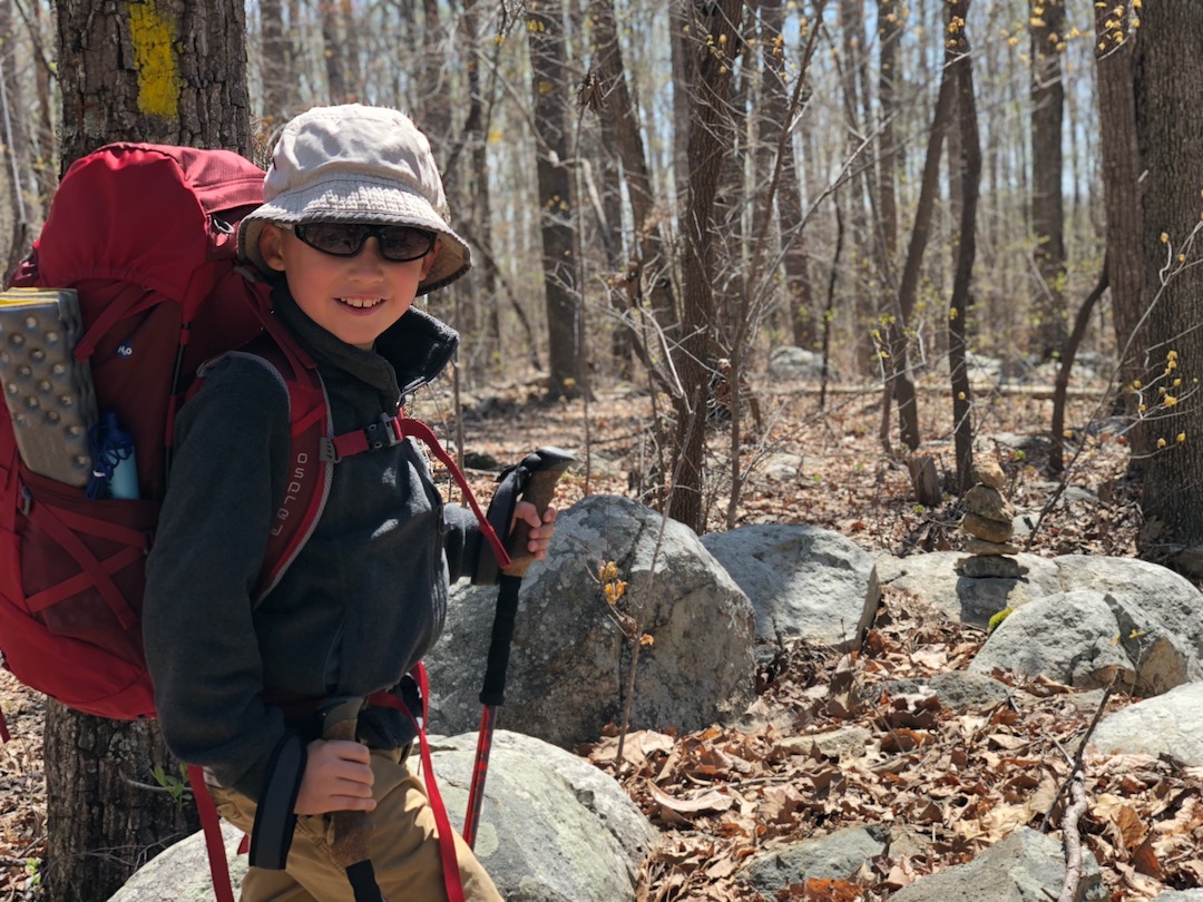
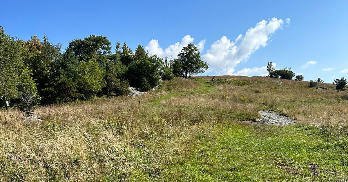
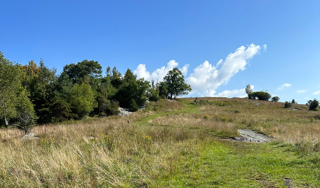
Getting away for a weekend can sometimes be a challenge. Thankfully, there are a handful of places I can quickly access including Doughton Park; the largest recreation area the National Park Service manages on the Blue Ridge Parkway.

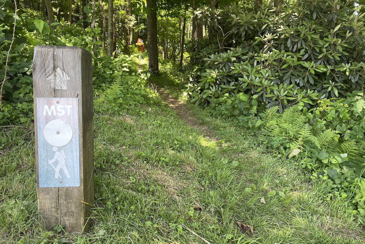
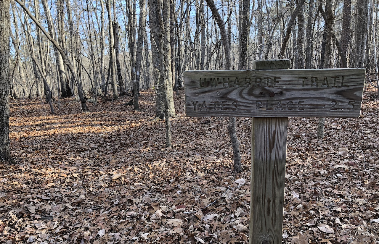
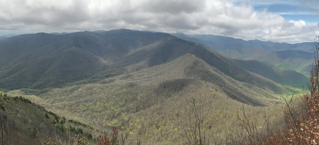
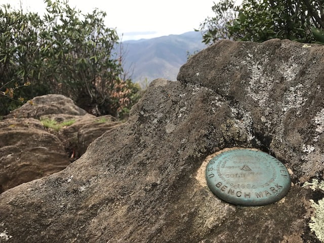
Located just west of Stone Mountain between Wilkes and Alleghancy Counties in North Carolina, Doughton Park consists of incredible views, wide open meadows, and some really challenging inclines. Additionally, part of the iconic 1,175 mile Mountains-to-Sea Trail (MST) passes through the park and passing by some breathtaking vistas. Having been to Doughton Park before, given the campsite at Basin Cove and the challenging trails, I opted to return to the area for a weekend solo trip.

READ MORE

Backpacking Mountains-to-Sea Trail: Stone Mountain to Doughton Lollipop

MST trail sign with hiker in distance
Hiking along the MST

Summer is an interesting time to head into the backcountry. Finicky water sources, exhausting heat, pop-up thunderstorms, thirsty ticks, and relentlessly buzzing gnats, skeeters, and flies. But, even with all of its complications, summer is also an awesome time to get outdoors. To that end, my buddy, Coop, and I put together a list of options before agreeing on a section of the iconic Mountains-to-Sea Trail (MST).

Stretching 1,175 miles from the Great Smoky Mountains to the Outer Banks, the MST includes some of the best of what North Carolina has to offer: mountain vistas, grassy meadows, coastal swamps, dense forests, and miles of shoreline. Currently, the MST is a mix of road and trail, but the North Carolina Division of Parks and Recreation intends to develop the MST into a 1,400 mile continuous, off-road trail.

With so much to offer, Coop further refined our chosen location and put together a lollipop route from Stone Mountain State Park to Doughton Park and back again.

READ MORE

Backpacking Uwharrie: Yates Place to Panther Branch

trail in a pine forest
lego in uwharrie

After being cooped up in my house for months I saw a break in the clouds and asked my better half for permission to leave our suburban landlocked ship and escape into the woods with my brother-in-law, Ken. Since neither he or I have interacted with humans outside of our own domiciles, I was granted 36-hour leave and began the planning process with a focus on the Uwharrie National Forest.

In the past few months, Uwharrie has been my go to spot for hiking and trail running so I thought I’d elevate its status as a go to backpacking destination. It’s close to home, has lots of nature, and I can sleep there.

READ MORE

Backpacking Linville Gorge: Get your feet wet

view of rolling mountains in the summer
View from Little Table Rock looking west.
Click to enlarge

The Linville Gorge Wilderness (LGW) is located within the Pisgah National Forest in the mountains of Western North Carolina. Nicknamed the “Grand Canyon of North Carolina”, it is formed by Jonas Ridge on the east and Linville Mountain on the west and is bisected by the Linville River which drops 2,000 feet into the valleys below. The nearly 12,000 acres of wilderness is unforgivingly steep, incredibly rugged, and is home to black bears, rattlesnakes, copperheads, and 80% of the world’s tick population.

Linville Gorge has been on my bucket list for years. This year, however, was going to be the year I actually went. In the springtime, I researched the area and decided to plan a May trip. As luck would have it, when I called the National Forest Service to secure a permit for my brother-in-law, Ken, and I, I was told there were no available permits. Undeterred, I called back two months later, and was able to reserve a permit for the second weekend in August.

Linville Gorge here we come!

READ MORE

Backpacking the Birkhead Mountains Wilderness: Gnats, gnats, and more gnats

father and son camping
boy backpacks through woods
Hiking in the Birkhead Mountains Wilderness.

The Uwharrie National Forest was the destination for my son’s first two backpacking trips. It’s close to home, the trails are manageable for a young backpacker, and the chances of being eaten by a bear are next to zero. For his third trip, I was thinking of heading up north to Grayson Highlands or west towards Pisgah, but opted to suggest a return to Uwharrie via the Birkhead Mountains Wilderness as we were expecting a couple other people to join us.

Established by the 1984 North Carolina Wilderness Act, the Birkhead Mountains Wilderness includes 5,000+ acres at the northern end of the oldest mountains on the North American Continent, the Uwharrie Mountains. It was used by early Native Americans over 12,000 years ago, explored by Europeans in the late 1600s, settled in 1760, and expanded by John Watson, son of the Birkhead family, in the late 19th century. Today, the Birkhead Mountains Wilderness has over 16 miles of designated hiking trails (i.e. horses, motorized vehicles, and mountain bikes are prohibited) that are enjoyed by hikers, backpackers, and trail runners.

I shared what I knew about the area with my son, broke the news that our two friends had to back out, and let him rethink our destination. In the end he chose Birkhead.

READ MORE

Backpacking Uwharrie from Yates Place with LEGOs and an 8-year-old

hiker smiling
father and son selfie in the woods
The journey begins!

Each year I try to work in a winter backpacking trip. This year, I waited up until the last minute to start asking around and couldn’t get any takers. Determined to still go, I looked into places for a solo overnight trip. To the north, near Mt. Rogers Nat’l Rec Area, the forecasts were calling for temps in the teens, winds between 20 and 30MPH, and 10+ inches of snow. To the south, in the Uwharrie National Forest, temps were forecasted between 50°F and 60°F and rain was a certainty. The latter got me thinking.

Since the weather to the south was forecasted to be mild, I thought maybe, just maybe, my wife would be OK with my son joining me on a winter trip. I asked. She agreed. I asked my son. He agreed. Thank you backpacking gods!

READ MORE

Race Report: 2018 Pilot Mountain to Hanging Rock 50 Miler*

running shoes, backpack, hat, and race bib

Over the years I’ve spent a lot of time hiking, running, and camping at both Pilot Mountain and Hanging Rock state parks in North Carolina. So when I learned about the Pilot Mountain to Hanging Rock (PM2HR) Ultra connecting to the two, I immediately added the race to my bucket list. Fast forward a couple of years to this past spring when my buddy, Coop, mentioned wanting to run his first ultra. I offered to run with him once he picked a race, and as luck would have it, he sent me a message a couple of months later that he had decided on running the PM2HR 50 miler.

After signing up, I prepared myself over the next four months by running a ton, working on my nutrition, and not sleeping in. By race week I was ready. I mean, I WAS READY! Better? Too much? OK, I was ready. Well, two days before the race, Hurricane Michael blew through the course with heavy rain and straight-line winds, swelling creeks and rivers, and knocking down hundreds of trees. The race directors, along with the folks at Pilot Mountain State Park, Hanging Rock State Park, and the Sauratown Trail Association, worked tirelessly to get the trails in shape for the race. Unfortunately, with one day to go, the race directors notified the 50 milers that the first 7 miles were simply too unsafe and they had to move the start line and re-route a bit of the course ultimately reducing the overall mileage by about 4 miles. A bummer? Totally. A deal breaker? No.

READ MORE

Backpacking Dutchman’s Creek Loop: Wherever you go, there Uwharrie

trail sign that reads uwharrie trail
Trail sign at the northern Dutchman-Uwharrie junction

The Uwharrie National Forest (UNF) is a 51,000 acre forest system spanning three counties in south central North Carolina. It is one of the smallest national forests in the United States, and having been established in 1961, it is also the youngest of the four national parks in North Carolina. It has mountains, but the peaks have been worn down from 20,000′ millions of years ago to no more than 1,000′ today.

The forest offers a number of trails for hiking, mountain biking, horseback riding, and off-roading. There are lakes and rivers for fishing and water sports. Campgrounds for, uh, camping. What I’m trying to say is, there’s a lot of stuff to do there.

Well, for years my friends have talked about hiking in Uwharrie, but I’ve been wary to make the trip because 1) I tend to fancy the higher elevations, and 2) the forest is also a designated Game Land making it a popular destination for hunters and trappers. Well, I finally got over myself, and decided to give Uwharrie a chance.

READ MORE

Backpacking the Cold Mountain Loop: Forecasts can’t be trusted

View from Cold Mountain Summit
Cold Mountain survey marker
Cold Mountain Summit

There’s a saying that if you’re backpacking and you don’t like the forecast, wait five minutes and it’ll change. That was certainly the case on a recent backpacking trip I took to the Shining Rock Wilderness with my brother-in-law, Ken. In the 10 days leading up to the trip we watched the wilderness area forecast change daily from hot to cold, sun to rain, and breezy to gale force winds.

In addition to the weather the Shining Rock Wilderness has a couple of rules that impacted our trip. First, no campfires. It’s a rule, and unfortunately many take it as a “rule” including the ones responsible for the recent fire at Cold Mountain that burned 132 acres. Second, in the past few years the bear population has increased resulting in greater than normal bear sightings and bear encounters (one backpacker had a bear enter his tent and remove his backpack). As a result, the U.S. Forest Service requires bear canisters in the Shining Rock Wilderness.

READ MORE