Tag: winter

Backpacking the Birkhead Mountains Wilderness: Gnats, gnats, and more gnats

father and son camping
boy backpacks through woods
Hiking in the Birkhead Mountains Wilderness.

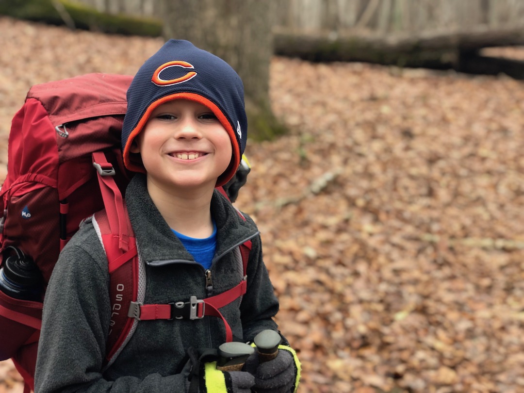
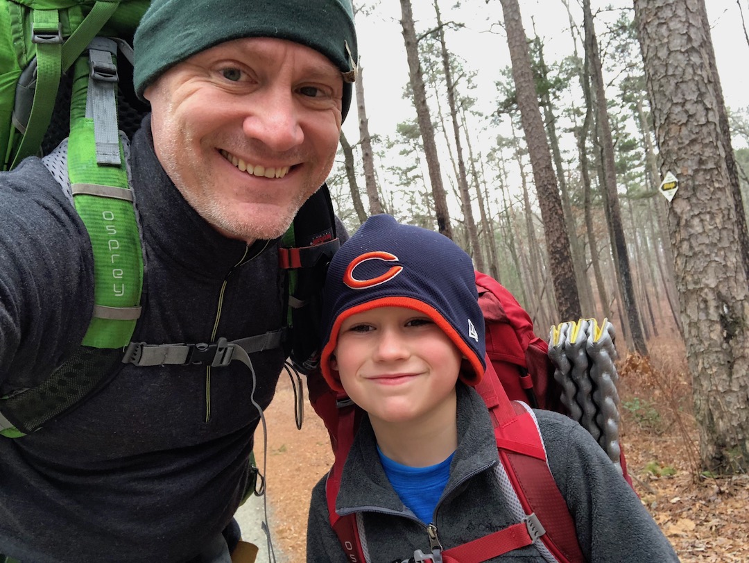
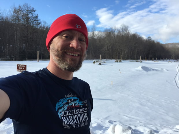
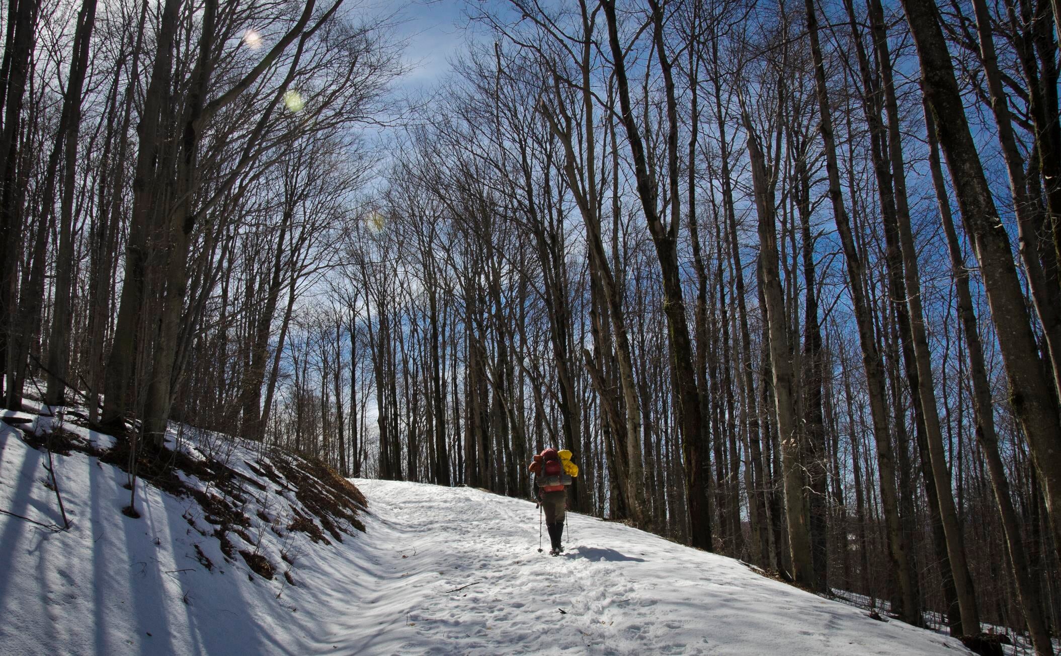
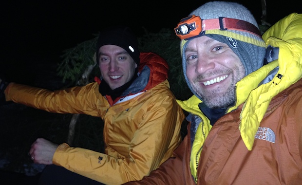
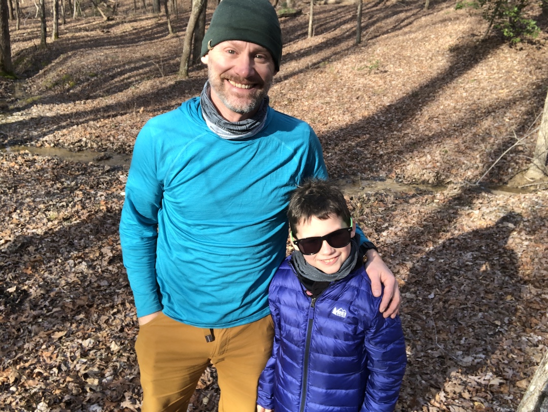
The Uwharrie National Forest was the destination for my son’s first two backpacking trips. It’s close to home, the trails are manageable for a young backpacker, and the chances of being eaten by a bear are next to zero. For his third trip, I was thinking of heading up north to Grayson Highlands or west towards Pisgah, but opted to suggest a return to Uwharrie via the Birkhead Mountains Wilderness as we were expecting a couple other people to join us.

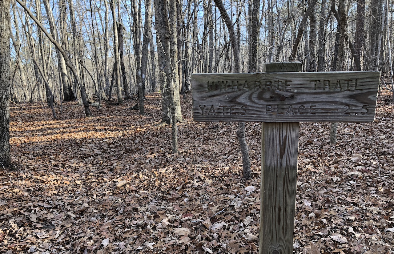
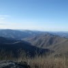
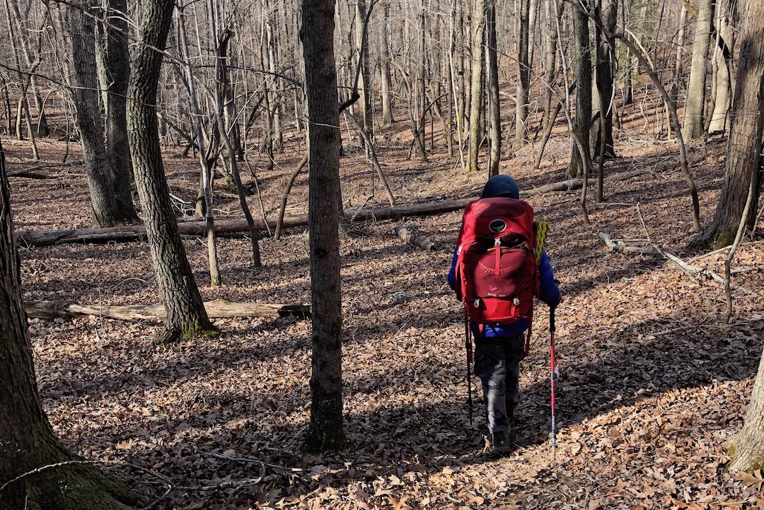
Established by the 1984 North Carolina Wilderness Act, the Birkhead Mountains Wilderness includes 5,000+ acres at the northern end of the oldest mountains on the North American Continent, the Uwharrie Mountains. It was used by early Native Americans over 12,000 years ago, explored by Europeans in the late 1600s, settled in 1760, and expanded by John Watson, son of the Birkhead family, in the late 19th century. Today, the Birkhead Mountains Wilderness has over 16 miles of designated hiking trails (i.e. horses, motorized vehicles, and mountain bikes are prohibited) that are enjoyed by hikers, backpackers, and trail runners.

I shared what I knew about the area with my son, broke the news that our two friends had to back out, and let him rethink our destination. In the end he chose Birkhead.

READ MORE

Backpacking Uwharrie from Yates Place with LEGOs and an 8-year-old

hiker smiling
father and son selfie in the woods
The journey begins!

Each year I try to work in a winter backpacking trip. This year, I waited up until the last minute to start asking around and couldn’t get any takers. Determined to still go, I looked into places for a solo overnight trip. To the north, near Mt. Rogers Nat’l Rec Area, the forecasts were calling for temps in the teens, winds between 20 and 30MPH, and 10+ inches of snow. To the south, in the Uwharrie National Forest, temps were forecasted between 50°F and 60°F and rain was a certainty. The latter got me thinking.

Since the weather to the south was forecasted to be mild, I thought maybe, just maybe, my wife would be OK with my son joining me on a winter trip. I asked. She agreed. I asked my son. He agreed. Thank you backpacking gods!

READ MORE

Backpacking Iron Mountain Trail: Crocodiles and Misdirection

Crocodile A-T checks the map
Photo by Coop

Backpacking in the winter can be a challenge due to the uncertainty that accompanies the cold season. However, if you’re willing to accept the risk, the rewards are incredible. For that reason, my buddy Coop and I make it a point to plan a yearly winter trip. More often than not, we find ourselves in the Mount Rogers National Recreation Area (NRA), a nearly 200,000 acre National Forest in southwestern Virginia. This year, Coop suggested we continue the trend and return to the NRA to tackle the northern section of the Iron Mountain Trail (IMT).

The yellow-blazed Iron Mountain Trail spans 47 miles from Highway 91 near Tennessee in the south to VA16 at Iron Mountain Gap in the north. Up until 1972, the IMT was part of the Appalachian Trail when it was relocated to the south to accommodate communication towers and power lines in order to maintain the secluded experience hikers have come to expect from the AT. The IMT is well-maintained thanks to local volunteers, has an old AT shelter in the northern section that’s in great condition, and as it turns out, is also the perfect location for our latest adventure.

READ MORE

Backpacking Dutchman’s Creek Loop: Wherever you go, there Uwharrie

trail sign that reads uwharrie trail
Trail sign at the northern Dutchman-Uwharrie junction

The Uwharrie National Forest (UNF) is a 51,000 acre forest system spanning three counties in south central North Carolina. It is one of the smallest national forests in the United States, and having been established in 1961, it is also the youngest of the four national parks in North Carolina. It has mountains, but the peaks have been worn down from 20,000′ millions of years ago to no more than 1,000′ today.

The forest offers a number of trails for hiking, mountain biking, horseback riding, and off-roading. There are lakes and rivers for fishing and water sports. Campgrounds for, uh, camping. What I’m trying to say is, there’s a lot of stuff to do there.

Well, for years my friends have talked about hiking in Uwharrie, but I’ve been wary to make the trip because 1) I tend to fancy the higher elevations, and 2) the forest is also a designated Game Land making it a popular destination for hunters and trappers. Well, I finally got over myself, and decided to give Uwharrie a chance.

READ MORE

Backpacking Roaring Plains: April Snow and Swollen Creeks

Post-trip photo

I first read about the Roaring West Wilderness (RPW) when my buddy, Coop, and I were considering routes for our most recent winter trip to Dolly Sods. About a month after that trip, Coop invited me to join him and his brother-in-law, Craig, in the RPW for Craig’s first backpacking trip.

Located in the Allegheny Mountains of eastern West Virginia, the Roaring Plains Wilderness spans more than 12,00 acres of the Monongahela National Forest and is said to have the most vertical relief in West Virginia. To get a better sense of the area Coop and I put together our Plan A using hillmap.com and the GPX from HikingUpward.com. The plan was simple: hike the 12.46 mile Roaring Plains West Wilderness Circuit, climb 2,560′, descend 2,566′, and drive to Amelia’s for breakfast when we finished.

Then came the wrenches.

READ MORE

Backpacking Dolly Sods Wilderness: Permits, mud, and the elusive goshawk

Sunset at our campsite at Left Fork Red Creek off Dobbin Grade (TR 526)
Photo by Coop

The Dolly Sods Wilderness is a rocky, high-altitude plateau in the Allegheny Mountains of eastern West Virginia and is part of the Monongahela National Forest. The wilderness has more than 47 miles of trails with elevations ranging from 2,500 to over 4,700 feet. If I didn’t have you at “Hello” allow me to share two other selling points that made the brochure: weather and explosives.

Weather in the Sods is as decisive as a two-year old. Snow can fall from October through April, freezing temperatures can occur at anytime of the year, and the winds can penetrate your soul. As for explosives, the area was used by the U.S. Army as a practice artillery and mortar range and maneuver area during World War II. And, while the National Forest Service and the Army Corps of Engineers did their best to remove Unexploded Ordnances (UXO) from the area there’s still a good chance some remain. Moral of the story: dress for every occasion and don’t touch the boom booms.

In spite of the potential to blow up, freeze, or both, the Sods really are a spectacular place to go. My buddy Coop and I rose to the challenge back in February 2014 when we hit the trails wearing snowshoes and a smile. This year we thought we’d give the Sods another shot and enlisted my brother-in-law, Ken.

READ MORE

Backpacking Mt. Rogers Recreation Area in February

Three days later...
Three days later…

For our annual winter backpacking trip, my buddy, Coop, and I decided on Mt. Rogers Recreation Area. We’d been there in 2011 when we hit up Grayson Highlands to see the wild horses. It’s a great place with great views, and it’s also home to the highest point in Virginia. What makes Mt. Rogers Area a particularly good spot for the winter is the number of trails through and around the area. A must when weather forces routes to change. Something that often happens at Mt. Rogers where winds and temps are known to change in minutes.

Still, we opted to plan our trip ambitiously and play the rest by ear.

READ MORE

Backpacking Dolly Sods in February

Overnighting at Dolly Sods
Relaxing at the campsite after a long day

My buddy, Coop, and I have backpacked during the winter months for a few years now. Shining Rock in Western North Carolina, Roan Mountain along the Tennessee-North Carolina border, and most recently Dolly Sods in West Virginia.

We hadn’t traveled north for a winter hike, and it’d be a test for us as Dolly Sods is notorious for year-long crazy weather with an average annual snowfall of 55″. As he always does, Coop researched potential routes and came across White Grass Cross Country Ski Area, a cross country skiing and snowshoeing business in Davis, WV. He emailed Chip, the dude in charge, who kept Coop in the loop about weather and gear (including $15/day snowshoe rental).

Our intent was to park at White Grass and take the Timberline trail to Forest Road 80 where we’d huff it up to 524 Rocky Ridge. From there we’d head east on 511 Blackbird Knob, camp at the intersection of Blackbird and Upper Red Creek, and then head up to Dobbin where we’d join up with Rocky Ridge which would take us back to our car. A fairly straightforward 3-day, 15.5 mile trip. However, thanks to the wintry weather, the actual route we hiked was a slightly different.

READ MORE

Backpacking in NC: Flat Laurel Creek to Cold Mountain

Sam Knob summit
Sam Knob summit

In 2010, my buddy, Coop, and I met Chris, a fellow backpacker, at the base of Shining Rock in North Carolina. At the time, Chris had just turned back due to extreme winter conditions, and we were looking for a place to camp before the sky went dark and we froze to death. After surviving the night, the three of us exchanged contact information and suggested we get together again in the future.

This past weekend, almost two years later, the three of us realized the suggestion. Coop and I started at Sam Knob via the Flat Laurel Creek trail off of NC Highway 215/Lake Logan Road on Friday, ran an impromptu 5K to the top of Sam Knob’s 6,055′ peak, and Chris joined us on Saturday morning at the Black Balsam Road parking lot en route to Cold Mountain.

READ MORE

Lost on Shining Rock: Day Four

Search and rescue sign
search and rescue note

2/23/10, 6AM, Day 4: Our watch alarms go off at 6AM. Daybreak is nearing. Time to break camp, fill bottles, drink coffee, and plot our course. With plenty of sunlight, we can see how to avoid the thickest patches and travel the safest route down the mountain. The downside? The slopes are steep, there’s 3 feet of snow on the ground, there are fallen trees everywhere, and to top it off, there are coyote, bobcat, and mountain lion tracks on both sides of the creek.

CHRIS: Let’s not die.

COOP: And when we don’t, let’s get Big Macs.

CHRIS: Agreed.

READ MORE