Tag: snow

Backpacking the James River Face Wilderness: A frozen wonderland

hiker walking snowy trail with ice-covered trees all around
Walking the AT across Highcock Knob.

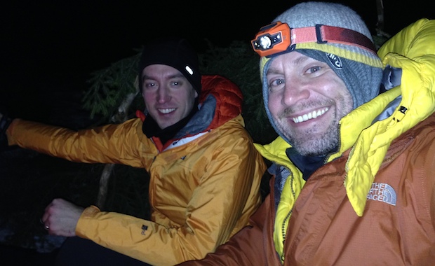
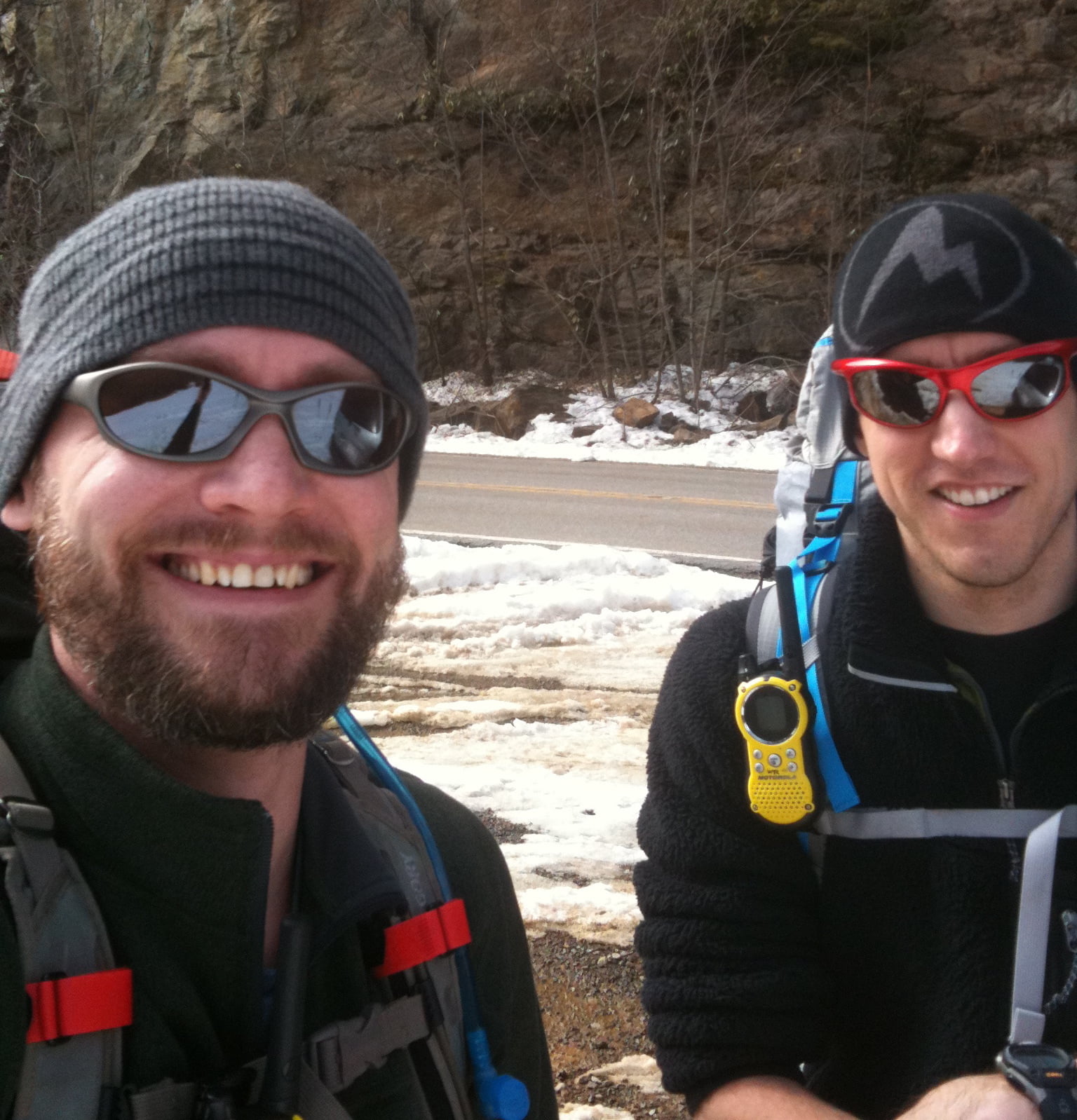
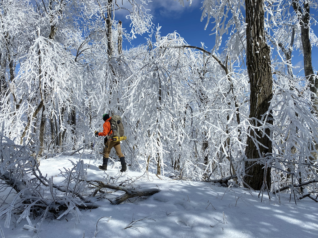
When my buddy, Coop, suggested we hit the trails for a February backpacking trip we kicked around some ideas: Cold Mountain and Mt. Mitchell in NC, Cranberry Wilderness in WV, and Mt. Pleasant and Apple Orchard in VA. To refine the list, he put together a handful of options in each location before we ultimately decided on the James River Face Wilderness in Jefferson National Forest between the James River on the north and Blue Ridge Parkway to the south.

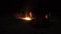
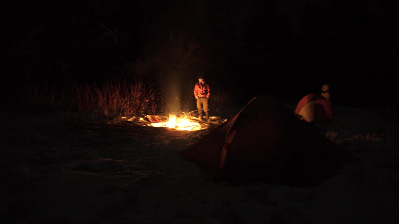
The James River Face Wilderness is an 8,907-acre area located near Natural Bridge, Virginia that includes several well-maintained trails including the iconic Appalachian Trail (AT) which passes over the 623 foot James River Foot Bridge, and the Belfast Trail which leads to the Devil’s Marbleyard and its colossal, car-sized Antietam Quartzite boulders.

READ MORE

Backpacking Mt. Rogers Recreation Area: Always a bear track, never a bear

campfire in the snow
Campfire in the snow
Campfire at the Hurricane Mountain AT shelter

Winter is arguably the best season for backpacking. Top 4 for certain. Sure, I shake uncontrollably between the fire and my sleeping bag, and my nose runs like an open spigot, and I generally cannot feel my toes, but it’s also peaceful, quiet, and serene. Oh, and let’s not forget about the snow. Man I love snow!

With COVID-19 still running amuck, my brother-in-law, Ken, and I were desperate to stave off cabin fever and get outside. Our only criteria: water and fire. Looking around, we considered Pisgah National Forest, Mt. Rogers National Recreation Area, and Monongahela National Forest before deciding on Mt. Rogers and its nearly 200,000 acres of National Forest in southwestern Virginia.

READ MORE

Backpacking Roaring Plains: April Snow and Swollen Creeks

Post-trip photo

I first read about the Roaring Plains Wilderness (RPW) when my buddy, Coop, and I were considering routes for our most recent winter trip to Dolly Sods. About a month after that trip, Coop invited me to join him and his brother-in-law, Craig, in the RPW for Craig’s first backpacking trip.

Located in the Allegheny Mountains of eastern West Virginia, the Roaring Plains Wilderness spans more than 12,000 acres of the Monongahela National Forest and is said to have the most vertical relief in WV. To get a better sense of the area Coop and I put together our Plan A using hillmap.com and the GPX from MidAtlanticHikes.com. The plan was simple: hike the 12.46 mile Roaring Plains Circuit, climb 2,560′, descend 2,566′, and drive to Amelia’s for breakfast when we finished.

Then came the wrenches.

READ MORE

Backpacking Mt. Rogers Recreation Area in February

Three days later...
Three days later…

For our annual winter backpacking trip, my buddy, Coop, and I decided on Mt. Rogers Recreation Area. We’d been there in 2011 when we hit up Grayson Highlands to see the wild horses. It’s a great place with great views, and it’s also home to the highest point in Virginia. What makes Mt. Rogers Area a particularly good spot for the winter is the number of trails through and around the area. A must when weather forces routes to change. Something that often happens at Mt. Rogers where winds and temps are known to change in minutes.

Still, we opted to plan our trip ambitiously and play the rest by ear.

READ MORE

Backpacking Dolly Sods in February

Overnighting at Dolly Sods
Relaxing at the campsite after a long day

My buddy, Coop, and I have backpacked during the winter months for a few years now. Shining Rock in Western North Carolina, Roan Mountain along the Tennessee-North Carolina border, and most recently Dolly Sods in West Virginia.

We hadn’t traveled north for a winter hike, and it’d be a test for us as Dolly Sods is notorious for year-long crazy weather with an average annual snowfall of 55″. As he always does, Coop researched potential routes and came across White Grass Cross Country Ski Area, a cross country skiing and snowshoeing business in Davis, WV. He emailed Chip, the dude in charge, who kept Coop in the loop about weather and gear (including $15/day snowshoe rental).

Our intent was to park at White Grass and take the Timberline trail to Forest Road 80 where we’d huff it up to 524 Rocky Ridge. From there we’d head east on 511 Blackbird Knob, camp at the intersection of Blackbird and Upper Red Creek, and then head up to Dobbin where we’d join up with Rocky Ridge which would take us back to our car. A fairly straightforward 3-day, 15.5 mile trip. However, thanks to the wintry weather, the actual route we hiked was a slightly different.

READ MORE

Lost on Shining Rock: Day Four

Search and rescue sign
search and rescue note

2/23/10, 6AM, Day 4: Our watch alarms go off at 6AM. Daybreak is nearing. Time to break camp, fill bottles, drink coffee, and plot our course. With plenty of sunlight, we can see how to avoid the thickest patches and travel the safest route down the mountain. The downside? The slopes are steep, there’s 3 feet of snow on the ground, there are fallen trees everywhere, and to top it off, there are coyote, bobcat, and mountain lion tracks on both sides of the creek.

CHRIS: Let’s not die.

COOP: And when we don’t, let’s get Big Macs.

CHRIS: Agreed.

READ MORE

Lost on Shining Rock: Day Three Part 2

snow covered leaves
Rhododendron covered with snow

2/22/10, 2AM, Day 3 Part 2: Just moments ago Search and Rescue (SNR) told us we were on our own. So much for being airlifted on a chopper. Wonder if we’d have to pay for an air rescue. Not that it matters though. According to SNR, we have to keep walking in the direction we’re headed (which we don’t know). The trail will get steep (i.e. “just shy of cliff.”) And, once we cross the valley and climb the slope we’ll be on Old Butt Knob (maybe). Is that all? Well, shoot. Honey, set me a plate. I’ll be home in a few.

CHRIS: Dude, this totally blows. Let’s get off this mountain before the weather hits.

COOP: Word.

READ MORE

Lost on Shining Rock: Day Three Part 1

Inside a tent
insider of a hiker's tent

2/22/10, 2AM, Day 3: Morning comes sooner than expected. At 2AM rain starts to fall. At 4:15AM sleet begins to accumulate. By 6AM our tent domes sag thanks to a fresh 5 inches of sleet and snow. Thanks weatherman. Any hope of following tracks are gone. The 3 feet of snow is now 3 and a half feet. Looks like we are going to have to posthole our way down the mountain. I’m not sure about you, but when I have to lift my leg to my ear 400 hundred times in a row, I get tired. Eventually we find a clearing. Clouds settle in bringing visibility down to about 10 feet. Compass says we need to go up the mountain through all the rhododendrons. Seriously, who’s in charge of landscaping around here? We melt snow to fill our bottles and bladders, and use the surplus for a cup of coffee.

The pu-pu platter of whiteout, waist-deep snow, and bobcat tracks make choosing the correct path difficult. We choose a path that takes us through rhododendrons (a.k.a. the vineys) for a good quarter mile.

READ MORE

Lost on Shining Rock: Day Two

Shining rock campfire
hiker by a fire

2/21/10, 6:00AM, Day 2: Sun up at 6AM. Oatmeal and coffee are the morning’s priorities. I break down my tent and fill up on water—not sure how long the creek will follow us up the mountain. By 7AM, Coop and Bigfoot wake and join me at the fire pit. Photo ops take up a few minutes after breakfast. Bigfoot tries out my poles out of curiosity. At 9AM it’s time to gear up. Coop and I part ways with Bigfoot and continue up the trail.  Nice to be hiking on an actual trail. For the first hundred yards it’s hard-packed snow. After that, we’re off trail and following Bigfoot’s tracks from the previous day.

READ MORE

Lost on Shining Rock: Day One

two hikers

Not all those who wander are lost.

– J.R.R. Tolkien

The mountains of North Carolina are a thing of beauty when viewed from afar. They are an even greater spectacle when you experience them up close. And when snow blankets the ground they are truly wondrous. Until they’re not.

This past weekend my buddy, Coop, and I set our sights on the Shining Rock Wilderness for this year’s winter backpacking trip. We monitored the location via webcam, checked the weather forecast daily, and packed the essentials we thought we’d need. We planned everything out meticulously, and fully expected a flawless trip that we’d remember for a lifetime.

READ MORE