Tag: scouts

Backpacking the Roaring Plains West Wilderness: A Second Chance

trees lining a path with rolling mountains in background
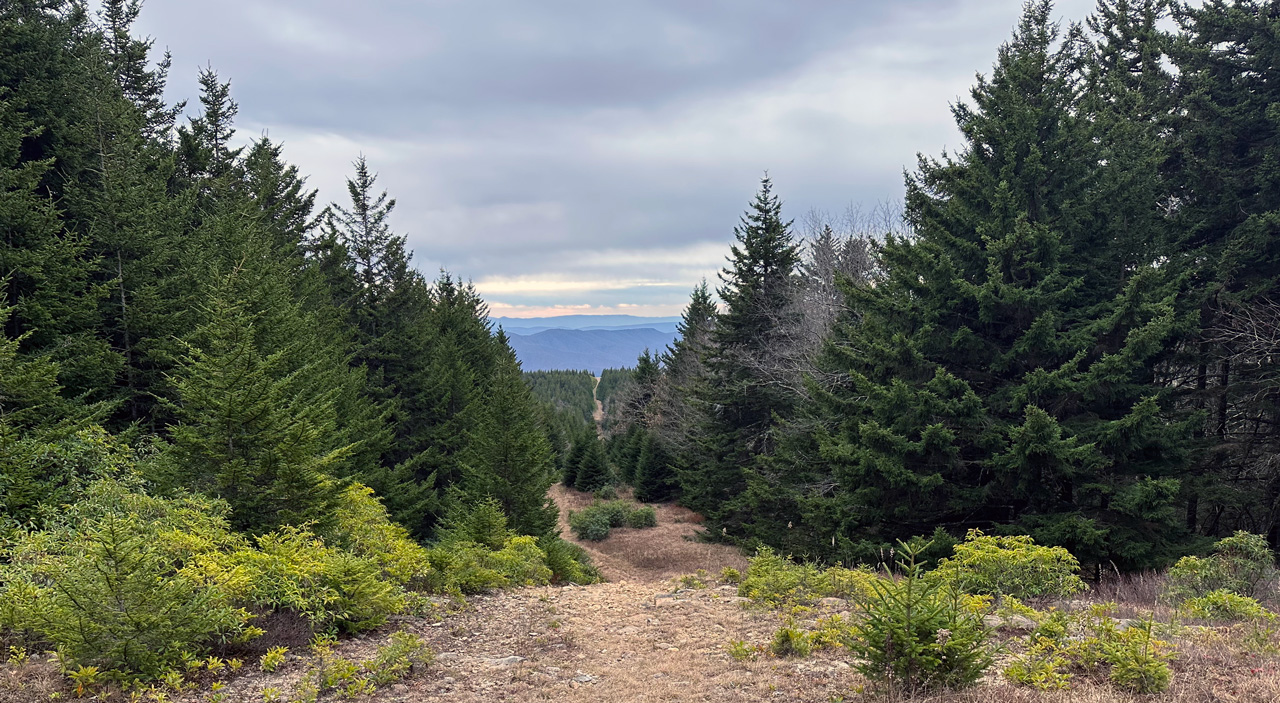
trail cutting through pine trees with rolling mountains in background
Pipeline Access Road at Hidden Passage Trail

The Roaring Plains West Wilderness (RPW) is a picturesque backpacking destination in eastern West Virginia—3 mile southwest of the Dolly Sods Wilderness and 5 miles south of Canaan Valley State Park. The areas 6,792 acres of mixed hardwoods of red spruce and brush and bogs, grasses and rhododendron, ranges in elevation from 3,000′ along the southern perimeter to over 4,700′ feet’ at the top of Mt. Porte Crayon. The area is part of Roaring Plains, which spans 12,376 acres and is considered backcountry as opposed to RPW’s wilderness designation.

In 2017, my buddy, Coop, his brother-in-law, and I set out to pack the RPW circuit following South Prong to Canyon Rim Trail and down Boar’s Nest to the parking lot. Given the Monongahela National Forest’s fickle and unpredictable weather, we were met with a raging and impassable South Fork Red Creek. Unable to complete the route as planned, Coop and I decided to take another shot.

READ MORE

Backpacking Iron Mountain and Grayson Highlands: Horses and ponies

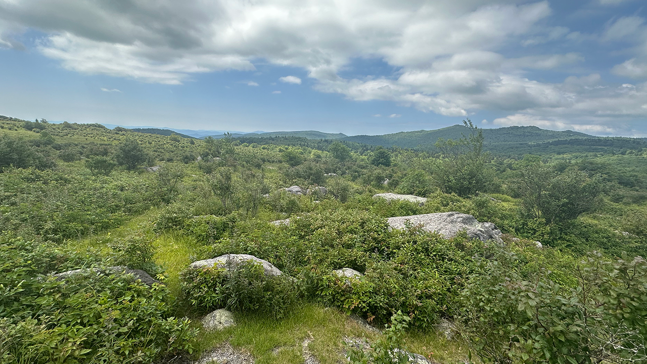
view of field from an outcropping with mountains in the background
View of Grayson Highlands from Crest Trail near Pine Mountain/AT junction

The summertime is a great time to hit the trails. The best! Well, except for the heat, dried up water sources, things that bite, things that fly and bite, and the heat. Did I mention the heat? Man, I am not a fan of the heat. When my nephew, Joaquin, came to town I wanted to take him on his first backpacking trip and needed to find a location where the conditions were just right (i.e. the aforementioned exceptions could be managed). Enter the Iron Mountain Trail (IMT).

The yellow-blazed Iron Mountain Trail spans 47 miles from Highway 91 near Tennessee in the south to VA16 at Iron Mountain Gap in the north. Up until 1972, the IMT was part of the Appalachian Trail (AT) when it was relocated to the south to accommodate communication towers and power lines in order to maintain the secluded experience hikers have come to expect from the AT.

I hiked the IMT previously and figured its solitude, milder temperatures, and close proximity to Grayson Highlands made it the perfect place to take my nephew.

READ MORE