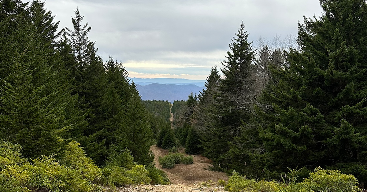
The Roaring Plains West Wilderness (RPW) is a picturesque backpacking destination in eastern West Virginia—3 mile southwest of the Dolly Sods Wilderness and 5 miles south of Canaan Valley State Park. The areas 6,792 acres of mixed hardwoods of red spruce and brush and bogs, grasses and rhododendron, ranges in elevation from 3,000′ along the southern perimeter to over 4,700′ feet’ at the top of Mt. Porte Crayon. The area is part of Roaring Plains, which spans 12,376 acres and is considered backcountry as opposed to RPW’s wilderness designation.
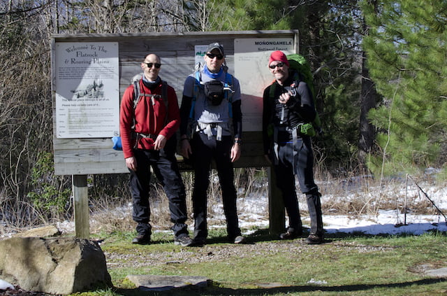
In 2017, my buddy, Coop, his brother-in-law, and I set out to pack the RPW circuit following South Prong to Canyon Rim Trail and down Boar’s Nest to the parking lot. Given the Monongahela National Forest’s fickle and unpredictable weather, we were met with a raging and impassable South Fork Red Creek. Unable to complete the route as planned, Coop and I decided to take another shot.
READ MORE