The 17,371 acre Dolly Sods Wilderness (DSW) in the Monongahela National Forest is a rocky, high-altitude plateau with great views, wind-carved boulders, heath barrens, grassy meadows, and centuries-old sphagnum bogs.
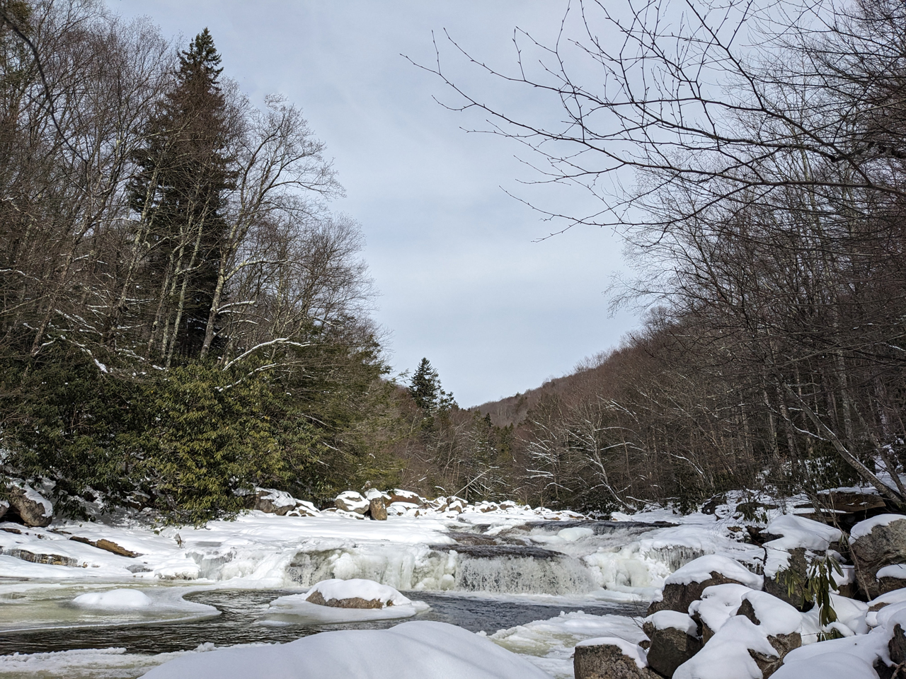
Frozen Red Creek off Fischer Spring Run Spur Trail
The 17,371 acre Dolly Sods Wilderness (DSW) in the Monongahela National Forest is a rocky, high-altitude plateau with great views, wind-carved boulders, heath barrens, grassy meadows, and centuries-old sphagnum bogs. And while summers are generally cool and wet, winters are, to put it mildly, brutal. Minimum temperatures can drop to −30°F and the average seasonal snowfall is around 150 inches.
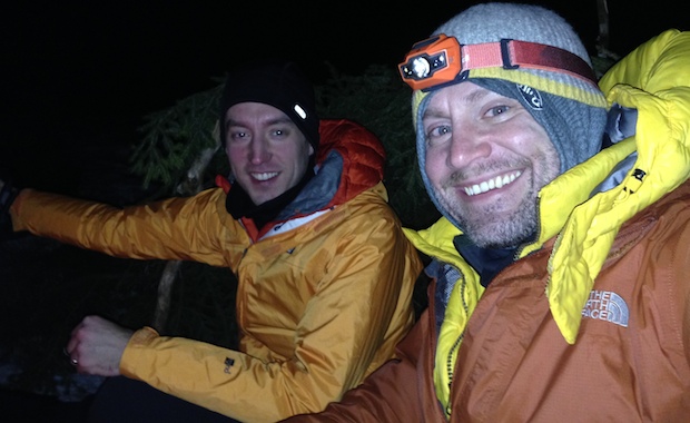
Having visited Dolly Sods in the winter before, my buddy, Coop, and I decided to revisit the area, this time exploring the southern portion, a section we hadn’t yet ventured into.
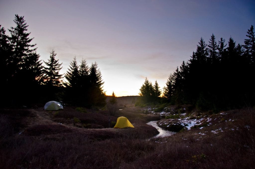
Sunset at our campsite at Left Fork Red Creek off Dobbin Grade (TR 526) Photo by Coop
The Dolly Sods Wilderness is a rocky, high-altitude plateau in the Allegheny Mountains of eastern West Virginia and is part of the Monongahela National Forest. The wilderness has more than 47 miles of trails with elevations ranging from 2,500 to over 4,700 feet. If I didn’t have you at “Hello” allow me to share two other selling points that made the brochure: weather and explosives.
Weather in the Sods is as decisive as a two-year old. Snow can fall from October through April, freezing temperatures can occur at anytime of the year, and the winds can penetrate your soul. As for explosives, the area was used by the U.S. Army as a practice artillery and mortar range and maneuver area during World War II. And, while the National Forest Service and the Army Corps of Engineers did their best to remove Unexploded Ordnances (UXO) from the area there’s still a good chance some remain. Moral of the story: dress for every occasion and don’t touch the boom booms.
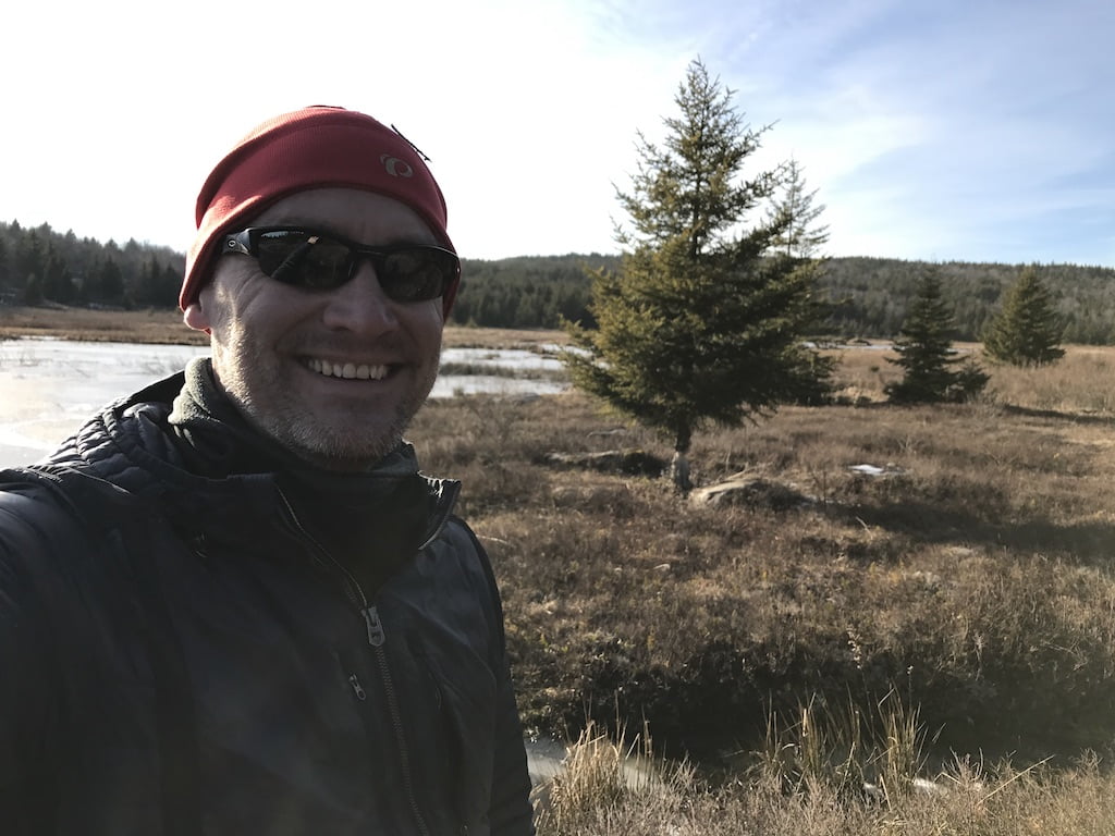
In spite of the potential to blow up, freeze, or both, the Sods really are a spectacular place to go. My buddy Coop and I rose to the challenge back in February 2014 when we hit the trails wearing snowshoes and a smile. This year we thought we’d give the Sods another shot and enlisted my brother-in-law, Ken.
My buddy, Coop, and I have backpacked during the winter months for a few years now. Shining Rock in Western North Carolina, Roan Mountain along the Tennessee-North Carolina border, and most recently Dolly Sods in West Virginia.
We hadn’t traveled north for a winter hike, and it’d be a test for us as Dolly Sods is notorious for year-long crazy weather with an average annual snowfall of 55″. As he always does, Coop researched potential routes and came across White Grass Cross Country Ski Area, a cross country skiing and snowshoeing business in Davis, WV. He emailed Chip, the dude in charge, who kept Coop in the loop about weather and gear (including $15/day snowshoe rental).
Our intent was to park at White Grass and take the Timberline trail to Forest Road 80 where we’d huff it up to 524 Rocky Ridge. From there we’d head east on 511 Blackbird Knob, camp at the intersection of Blackbird and Upper Red Creek, and then head up to Dobbin where we’d join up with Rocky Ridge which would take us back to our car. A fairly straightforward 3-day, 15.5 mile trip. However, thanks to the wintry weather, the actual route we hiked was a slightly different.