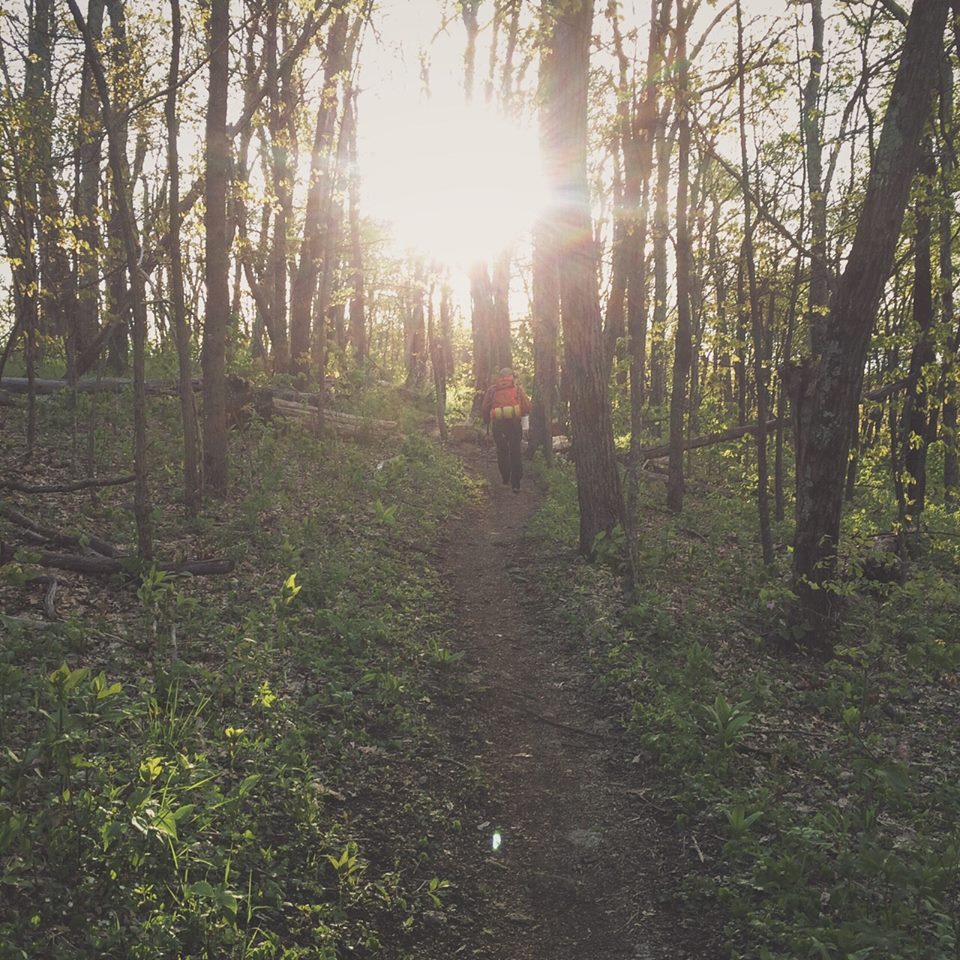
Mount Rogers National Recreation Area (NRA) spans 191,000 acres in southwestern Virginia within the George Washington and Jefferson National Forests. The area has hundreds of miles of trails including 60 miles of the Appalachian Trail (AT) and boasts the highest peak in Virginia, Mt. Rogers at 5,729′.
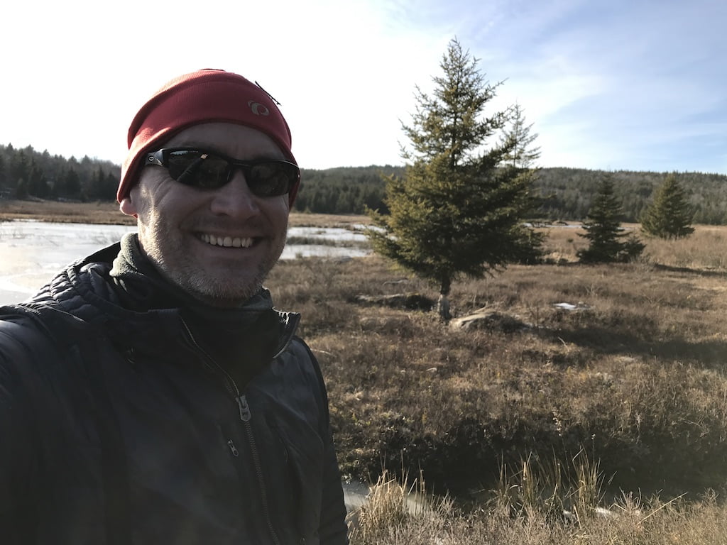
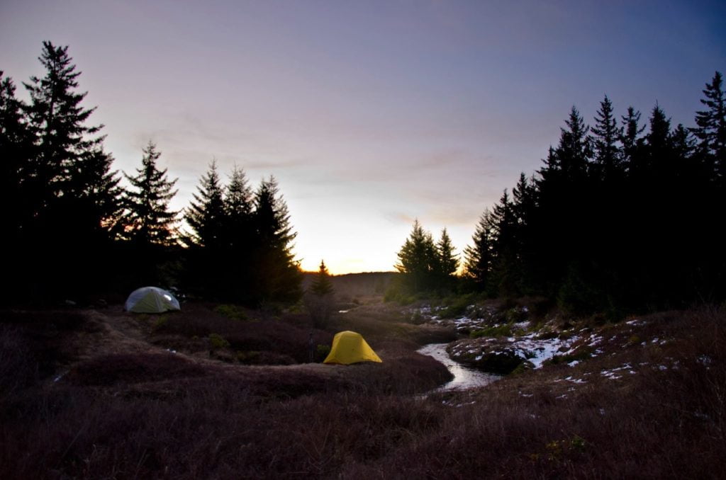
I’ve been to the NRA three times: Beartree in Fall 2009, Grayson Highlands in Spring 2011, and Lewis Fork in Winter 2015. Having three of the four seasons covered it only made sense to find my way back for a summer trip.
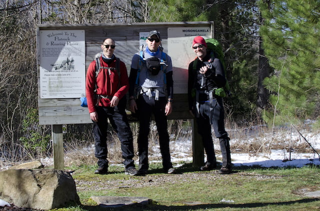
With a general location set, I invited my brother-in-law, Ken, and my running buddy and first time backpacker, John, and started to prepare.
READ MORE