The Uwharrie National Forest (UNF) is a 51,000 acre forest system spanning three counties in south central North Carolina. It is one of the smallest national forests in the United States, and having been established in 1961, it is also the youngest of the four national parks in North Carolina. It has mountains, but the peaks have been worn down from 20,000′ millions of years ago to no more than 1,000′ today.
The forest offers a number of trails for hiking, mountain biking, horseback riding, and off-roading. There are lakes and rivers for fishing and water sports. Campgrounds for, uh, camping. What I’m trying to say is, there’s a lot of stuff to do there.
Well, for years my friends have talked about hiking in Uwharrie, but I’ve been wary to make the trip because 1) I tend to fancy the higher elevations, and 2) the forest is also a designated Game Land making it a popular destination for hunters and trappers. Well, I finally got over myself, and decided to give Uwharrie a chance.
THE PLAN
I researched the Uwharrie National Forest on the National Forest Service site, AllTrails, and Hiking Project, and decided on an 18ish-mile loop combining two trails: Dutchman’s Creek and Uwharrie Nat’l Rec. The route didn’t seem too challenging, but it did have a pretty decent amount of elevation gain and loss (~2,800′) along with a couple of mild peaks.
With a route in place, the next thing I had to figure out was water. Friends who had hiked parts of the route had told me there were creek crossings throughout the UNF, but recent trail reports suggested that the creeks had dried up or were barely flowing due to the lack of recent rainfall and because it was winter. To account for this, I made note of every creek that appeared on various maps of the area and added them to my trip map.
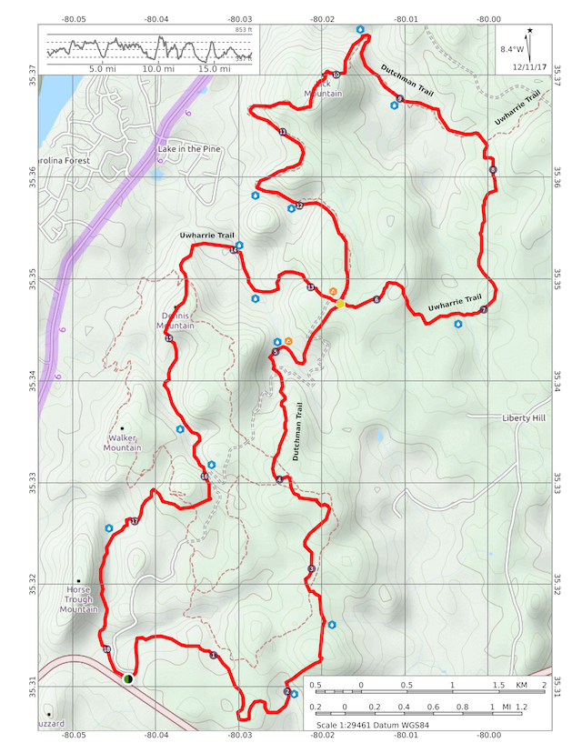
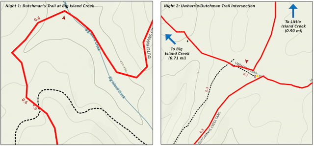
Based on mileage and water sources, I then chose two potential campsites for each night…
created an elevation profile using Google Earth…

built out a trip plan as a spreadsheet based on a conservative 1.5 MPH pace…

and printed my final route map on TerraSlate paper.
PACKING IT IN
In the week leading up to the trip, the forecast called for snow with temps between 20°F and 45°F. By the time the trip rolled around, snow changed to sunshine and the temperature range dropped to between 15°F and 40°F. With snow out of the picture, I ditched my snowshoes, and because of forecasted temperatures, opted for boots over trail runners (not enough room in my Cascadia’s for two pairs of socks).
I also brought with me a few things that I probably could’ve done without including my son’s NEMO fillo pillow because it’s super comfortable, a Helinox chair zero because I enjoy sitting in chairs, and hot chocolate packets because who doesn’t like hot chocolate on a cold winter’s day? No one! That’s who!
The night before the trip, I laid out my gear and proceeded to carefully cram everything in my 50L pack. Once buckled, my pack weighed in at 29 pounds 2.3 ounces (including water). Not my lightest, but not bad for a winter trip.
FYI, If you’re interested, you can download the complete list of things I brought with me on this trip.
DAY 1 (5.44 MI | +598′ GAIN | -680′ LOSS)
My brother-in-law, Ken, and I reached the trailhead parking lot off 24/27 around 11:45AM. It was chilly, but not cold, so I packed up my down jacket and gloves. Twenty minutes later, we were heading north on Dutchman’s Creek Trail following the yellow blazes to our first night’s campsite.
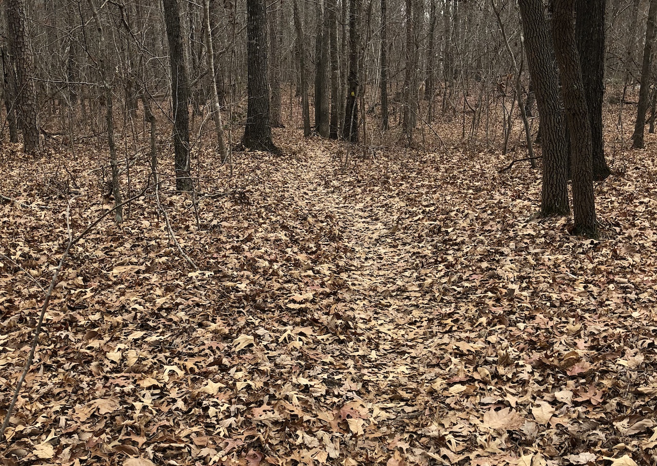
Just down the trail, we passed a couple of backpackers making their way to the parking lot. The dude was sporting a bright orange hat, and the gal was sporting a frown. A few minutes later, we passed a couple that we had seen leaving the parking lot when we arrived. The dude was standing on the far side of the creek waiting for his companion to cross, and the gal was searching the ground for something on our side of creek. Gold perhaps? I mean, the area was the site of the nation’s first gold rush. Just sayin’. Well, we greeted Mr. and Mrs. Yukon Cornelius, crossed the creek, and went on our way.
The creeks weren’t as bad as recent trip reports suggested. Sure, most of the ones we crossed were dry, but there were plenty of others that had pools or lightly flowing water. Something that was spot on from the reports was the number of campsites. At almost every creek crossing (and even on the hilltops) there was an established campsite with tree benches and a stone fire ring. And if that weren’t enough, there was nary a sign of trash!
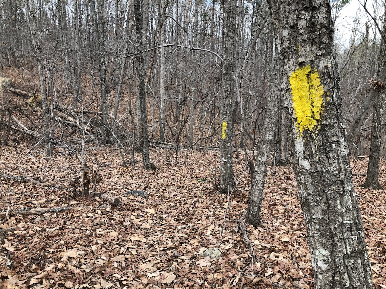
The first two miles on Dutchman followed a slow 150′ ascent before dropping a hundred feet just shy of Mile 2. At the foot of the hill sat a nice campsite with a couple of fire rings and a good water source (Dumas Creek, I believe). From there we started the biggest climb of the day—235′ over 0.4 a mile. Not huge, but enough to break a sweat considering how we were dressed.
We continued down Dutchman for another mile before crossing Supertree (a blue-blazed mountain bike trail). I should note that once you hit Supertree the yellow blazes begin to taper in quantity. We joked that the blazes marking the previous 3 miles were completed by an Eagle Scout who was eager to use all the paint in his bucket. We hiked another mile, crossed Supertree twice more, and then walked a long downhill before hitting a gravel road at Mile 5.
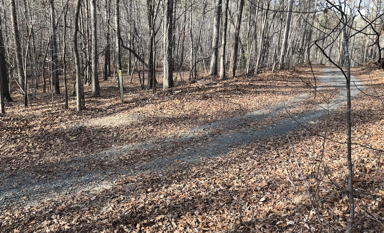
According to the map, the road meant we were close to our first night’s campsite and, if we were lucky, a good water source as well. We continued down the hill until arriving at a campsite near a creek. The site was great, but the creek bed was dry. “Oh well,” I thought as I took off my pack and began walking around looking for a place to pitch my tent. Ken, on the other hand, wasn’t sold. He took a closer look at the map and studied it closely. After a couple of minutes he suggested we walk the trail a bit farther down because the topography of our planned destination didn’t match up with our current location.
Leaving our packs behind, we returned to Dutchman, crossed the dry creek bed, and followed the trail as it hugged the curved hillside. A couple of minutes down the path, Ken spotted a blue balloon stuck in a tree to the south and a flock of gulls to the north. He joked that water must be nearby. He wasn’t wrong. We walked just a few steps further and hit Big Island Creek. Looking around, we spotted three fire rings and plenty of open space to pitch our tents (35°20’37.47″N; 80° 1’29.64″W).
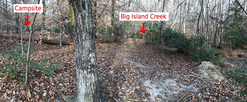
After grabbing our packs from the other site, we set up shop, filtered water, gathered wood, and got the fire going before the sun set and the temperatures dropped. Once situated, we rehydrated dinner and sat around the fire jib jabbing whilst enjoying a cup of hot cocoa.
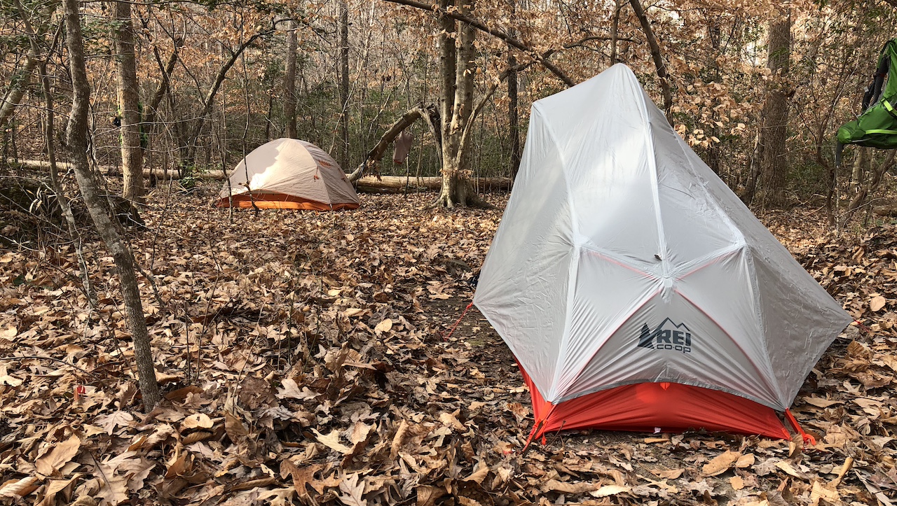
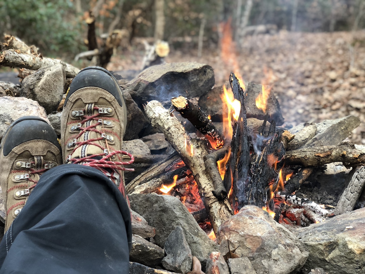
The sun set around 5:15PM and it was total blackout not long after. The temperature was noticeably colder and by 8PM the wind made it a wee bit less pleasant. By 10PM we doused the fire and called it a night. Five hours later, I was faced with every sleeping backpacker’s middle-of-the-night dilemma: to pee or not to pee.
Before committing one way or the other, I lay quietly staring into the blackity blackness of my mummy bag contemplating the situation. Part of me tried to will the urge away. The other part (also known as the majority) revisited arguments for and against peeing. Some say, if you have to pee, especially in the winter, you should pee since your body uses energy to keep your pee warm. Others argue that not peeing prevents heat loss. And there are others, still, who argue that the amount of thermal energy involved with a full or empty bladder is miniscule at best, and that peeing would not impact the warmth of your body. This last group suggests that if one really wants to increase the warmth of their body they should fill a bottle with hot water and stuff it in their sleeping bag.
Get up and boil water? For real? I might as well pee if I’m going to get up and boil water. Besides, my IsoPro fuel doesn’t like the cold and it’d take a long time to boil water with a cold fuel canister. I’d have to stuff the can in my bag for a while to warm it up, and then use it to boil water. But I can’t boil water in my tent because I’d likely start feeling the effects of carbon monoxide poisoning. Sure, I’d sleep better, but I’d also not wake up. So, in order to boil water to stay warm I’d have to leave my tent where it’s cold! OK, so I’m not boiling water. Man, I really have to pee.
I eventually abandoned the idea of boiling water and returned to a new set of arguments for peeing which followed the logic that if I pee I’ll be more comfortable and will sleep better as a result. But, the counter argument suggests that if go pee I’ll have to leave my warm liner, my warm bag, and my warm tent where it’s warm to stand outside where everything is [expletive] cold. Oh man, I really have to pee. So I did. And I felt much better for whatever reason you choose to believe.
DAY 2 (8.04 MI | +1,261′ GAIN | -1,238′ LOSS)
I woke at 6AM, decided it was too cold, and went back to sleep. I awoke a few more times before finally rolling out of my tent around 9AM. Ken followed suit, and we broke camp and ate breakfast before hitting the trails around 9:45AM.
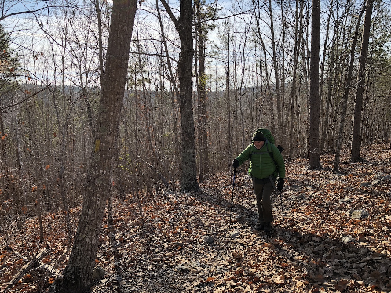
Once we crossed Big Island Creek we began climbing the steep 250′ ascent to the southern Dutchman-Uwharrie junction. About halfway up, we crossed the gravel road from Mile 5. Apparently, the road starts out paved at the 24/27 trailhead and switches to gravel before snaking its way to the southern junction. I’m not saying I would’ve driven up here, I’m just sayin’ I could’ve.
At the top of the hill the landscape changed a bit. Wind had obviously done a number up here as there were fallen oak and pine trees everywhere. I got to thinking about a bad storm that hit Morrow Mountain (which is just across the Yadkin River to the west) about four years ago. I remember because I had visited Morrow Mountain State Park when it reopened and the place was a disaster area. That same storm may be the cause of what we saw here and throughout our hike in the Uwharrie National Forest. That said, not everything was dead. There were holly trees and agave plants (don’t fault me on my plant identification abilities if I’m wrong) which were pretty neat to see amidst the white rocks and thinned landscape.
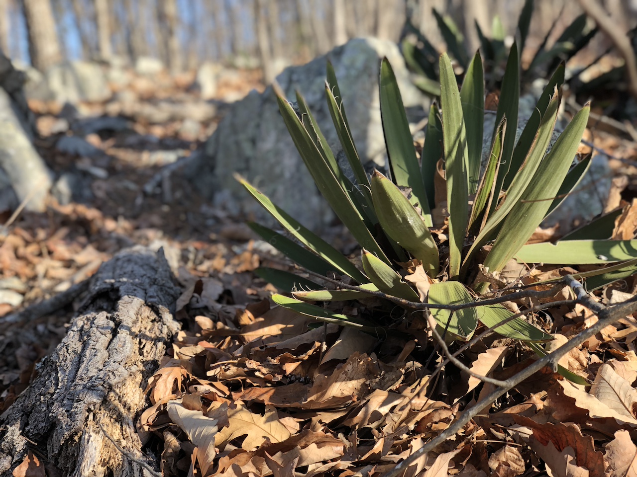
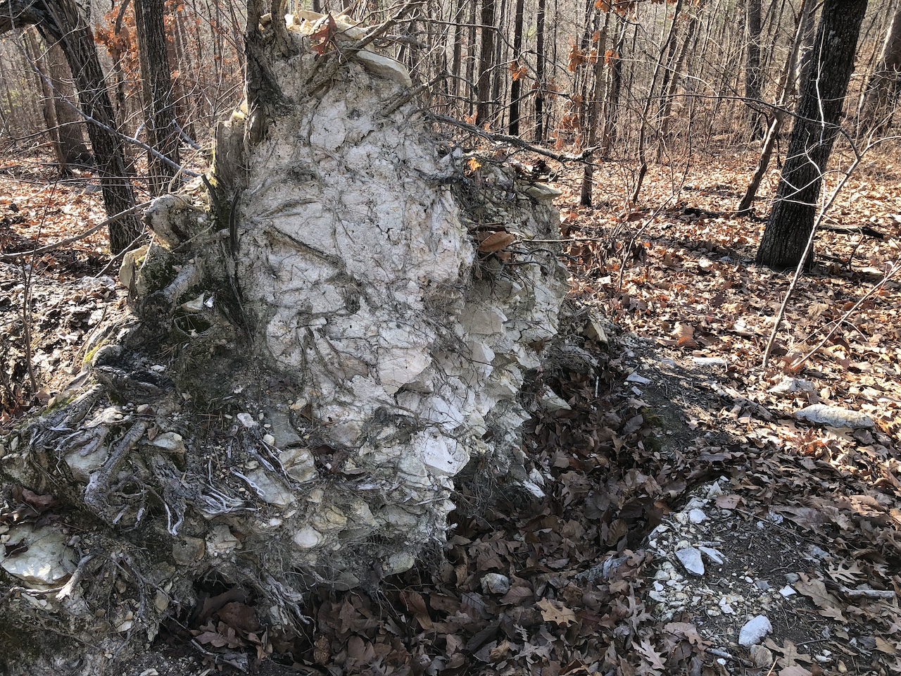
Another half mile and we arrived at the southern junction. We took a look around because this was supposed to be our campsite after we looped the northern section via Uwharrie and Dutchman. As I noted on the map, there wasn’t a nearby water source, so if we camped here we’d have to load up on water before returning. We thought about it, filed it away in our options drawer, and then left the Dutchman’s Creek Trail for the white-blazed Uwharrie National Recreation Trail.
The forest floor for the next mile and a half of rolling terrain was littered with downed, burned trees. Surrounding the dead ents was a trench that may have been used as a firebreak. Ken suggested it was a luge track. We both hoped he was right and were already planning to return with sleds during the next snowfall. Whatever the case, this part of the forest looked sad and worn down.
A quarter-mile later, just beyond the desolation, we came upon a huge campsite along Dutchman’s Creek (and a sign post with a QR code linking to an audio tour of the Uwharrie Trail at 35°20’47.68″N 80°0’10.23″W). The site looked to be a great place for a large group with small tents or a small group with big tents or a little league soccer match.
We passed the site and were about 3 miles into the day’s hike when we were greeted by our first hikers of the day; a couple of dudes and a dog. Not long after, another hiker appeared. A few minutes after that, a group of backpacking boy scouts passed us less than a half mile from the northern Dutchman-Uwharrie junction. As they did, one kid looked at me and said, “Are we having fun yet?” I smiled, and thought, “Ask me that in the morning, fella.”
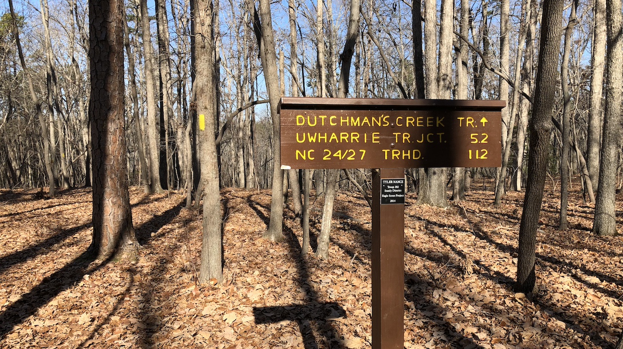
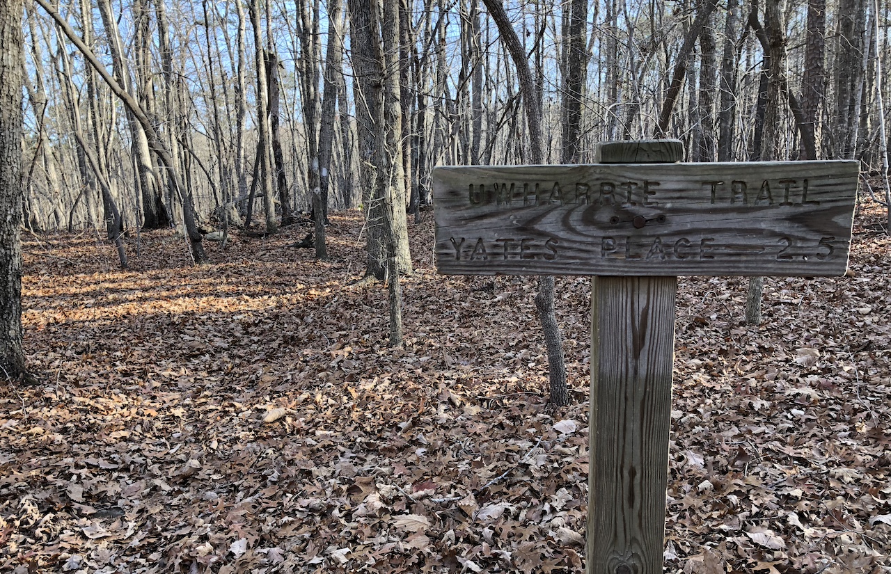
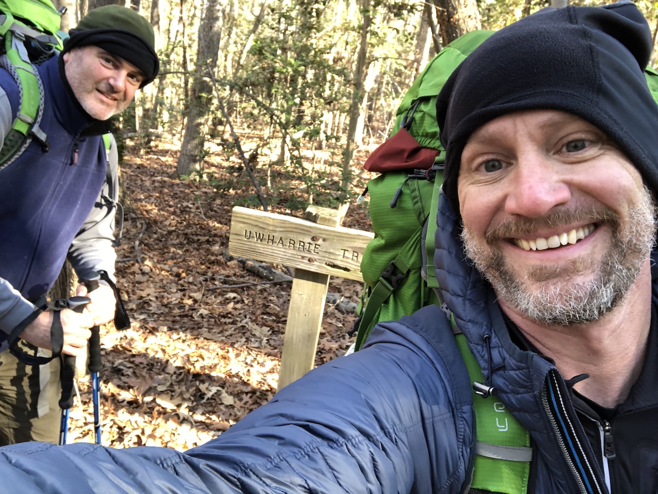
At the northern junction, in addition to the sign pictured above, there were signs for Yates Place Camp; a free public campground about 3/4 of a mile to the north, and the likely origin of the folks we saw earlier. As a man who enjoys a good bowel movement, I’d most assuredly check out the famous Yates Place vaulted toilets if we were continuing north on Uwharrie Trail, but we were headed back to the southern Dutchman-Uwharrie junction, 5.2 miles in the other direction. I guess a cathole will have to do.
We switched back to Dutchman’s Creek Trail and headed northwest en route to Lick Mountain. Almost immediately, the trail went from everything’s dead and black to everything is alive and green. Among the greenery, we started seeing purple paint and Private Property signs. On one side, the UNT. On the other, Area 52 (at least that’s what we believed it to be). Aliens man.
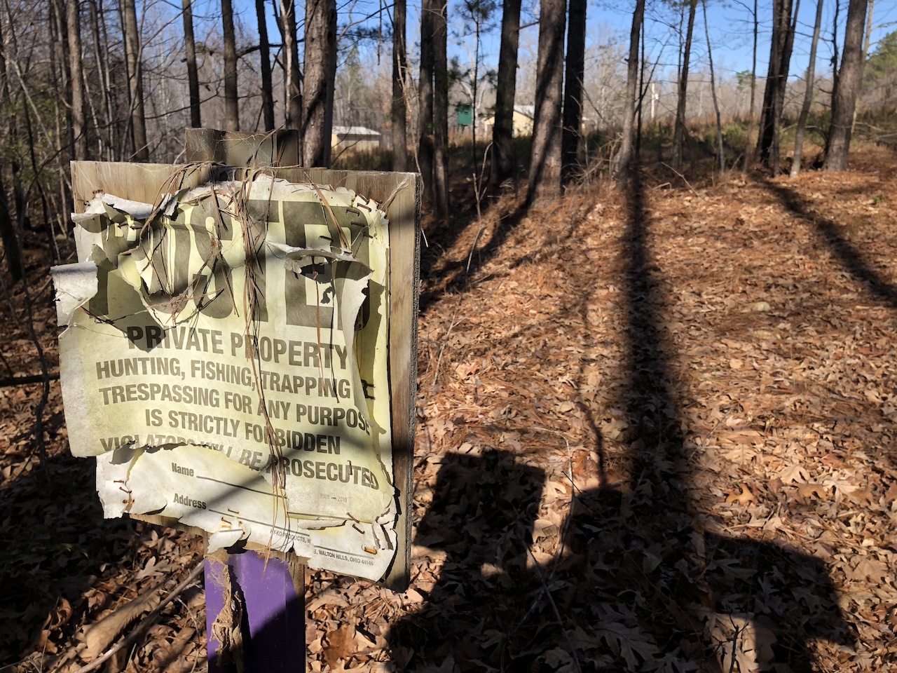
Intrigued by the sign, I took a closer look and there appeared to be two houses with a deer stand looking out on a huge deforested swath of land (35°22’2.52″N 80° 0’29.34″W). Or, maybe it was a government office, a hangar for alien spacecraft, and a guard tower. You decide.
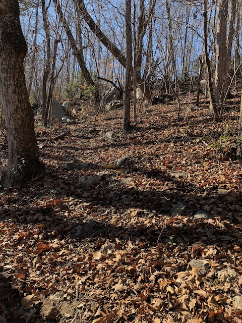
A mile later we turned south and began the 385′, half-mile climb to the top of Lick Mountain. On the way up it appeared that the trailblazers were unaware of the usefulness of a switchback.
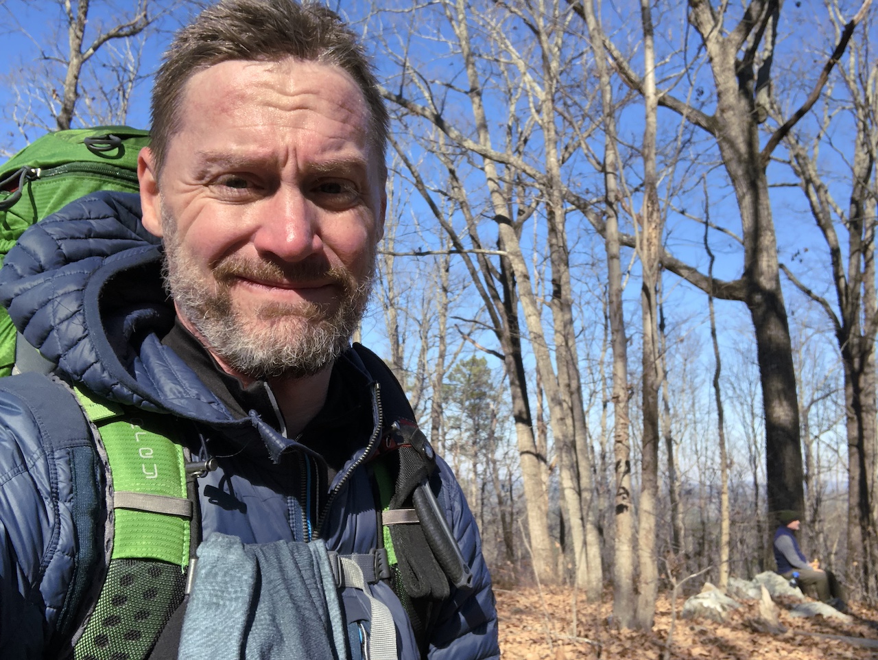
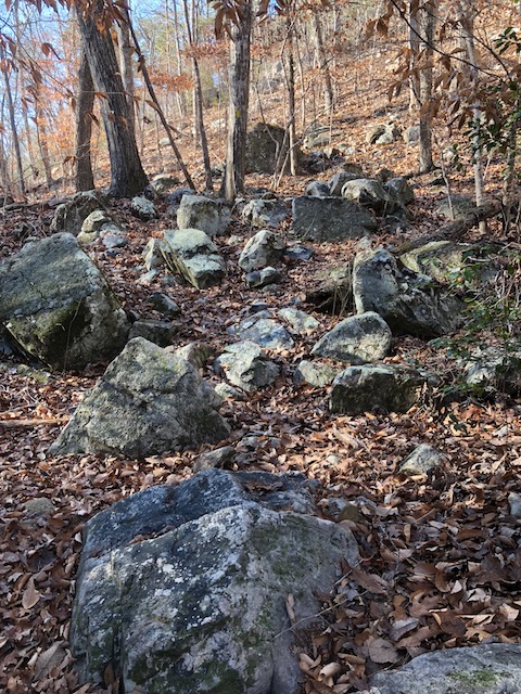
At the top we refueled and took in the views. Before hypothermia set in, we donned our packs and made the 1-mile hike over and around jagged rocks that marked the trail to the bottom.
In the valley, much to our delight, we found water. Lots and lots of water. We filled our bellies, bottles, and pouches before hiking the remaining 2.5 miles to our second night’s campsite at the southern Dutchman-Uwharrie junction.
Back on Dutchman, we followed the yellow Private Property signs which lined the trail (there were blazes, yeah, but the signs were more noticable). About a mile later, a deer stand sat in a tree that hugged the boundary line. Fifteen yards from the stand, a deer feeder hung from a branch. Feeling pretty good about our decision not to wear orange hats, we double-timed it for another half mile before I heard Ken stop. When I turned around he was just standing there. “What is it?” I asked quietly hoping for some form of wildlife that would prove their existence in the Uwharrie Forest. “There,” he said pointing into the woods. I didn’t see anything, until I did. Oh man, Ken found something way better than a bear or a coyote or a bobcat, he spotted a campsite with water.
For those playing along on the home game, the campsite is at the water source near Mile 12 on my map (or about a mile from the southern Dutchman-Uwharrie junction at 35°21’28.76 80° 1’21.61″W). This site was perfect. Not just because it was off the trail and near a water source, but because it meant I could stop walking and sit next to a fire.
We set up our tents, prepped the fire ring, and gathered wood making sure to create separate piles based on girth. Now all that separated us from happiness and euphoria was an offering to the fire gods.
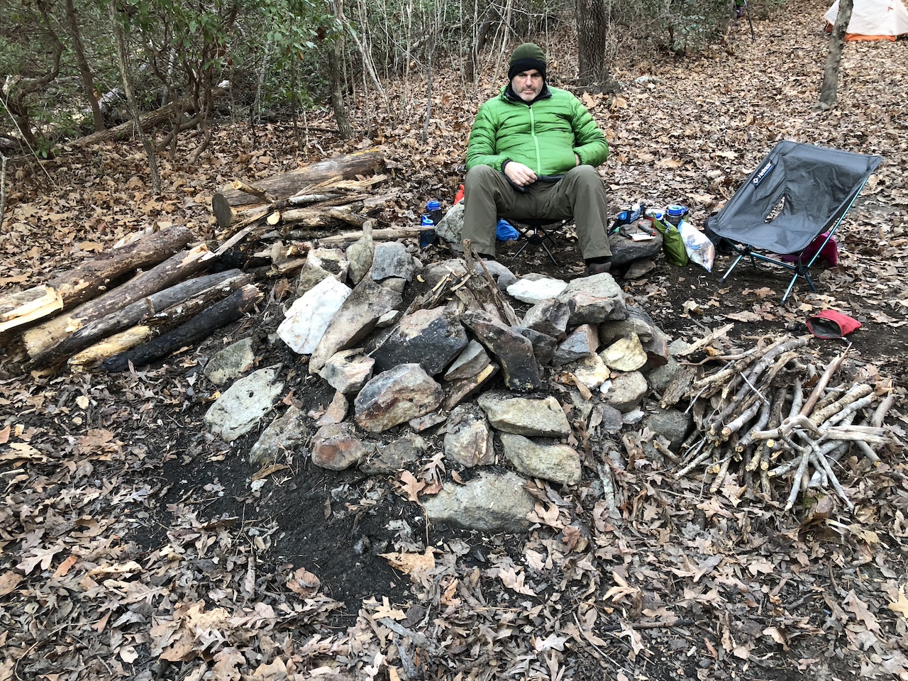
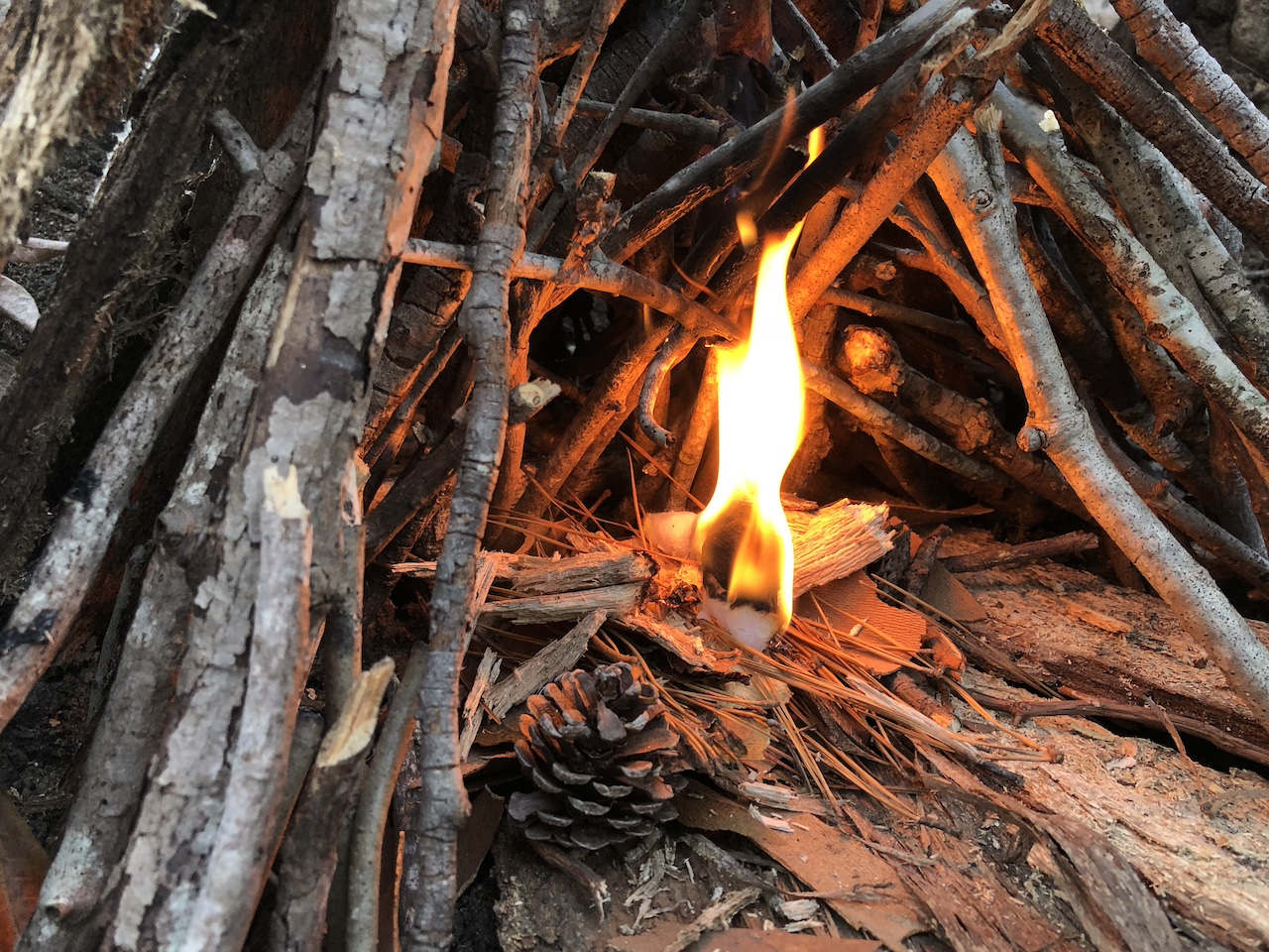
By nightfall, the temperatures dropped below 20°F. With wind chill factored in, it felt more like 5°F. The fire kept us toasty, but the instant we left the comfort of the flames, a little piece of us died or froze or froze and died. It was cold. It was very, very cold.
We did our best to make the most of the fire. We sat with our boots near the fire, with only our socks near the fire, and with our bare feet by the fire. We warmed our bare hands by the fire. We warmed our hands in gloves by the fire. And, we warmed our gloves and our bare hands by the fire. We stood with our butts to the fire. We stood with our fronts to the fire. We sat and melted our knees by the fire. We did many combinations of the above by the fire. We loved the fire.
In between long stretches of frigid silence, the topic of breaking camp came up. I suggested “first light” and Ken threw in “and skip breakfast.” We agreed and went back to staring at the fire.
Around 10PM, we put out the flames and retired to our tents. I slipped on my long johns, slid myself inside my liner, and then into my zero bag. Fifteen minutes later, my bladder asked for a hall pass. Having no desire to debate the pros and cons, I agreed with my bladder on the condition that I could change my socks first. We both got what we wanted and I got to sleep better. Win-win-win.
Day 3 (6.65 miles | +918′ gain | -904′ loss)
I woke up just after sunrise and went straight to work. Rummaging through my pack for my stuff sacks I glanced down at my thermometer—a whopping 17°F. I let out a sigh. “You doing coffee?” Ken asked. Before responding, my brain processed what making coffee would entail.
I thought about my fuel can that I’d kept with me all night. I thought about the 3 minutes it would take me to unpack my stove, boil water, and make instant coffee. I thought about the glorious feeling a warm cup of coffee and jolt of caffeine would bring to my body. I thought about the 2 minutes it would take to clean up my mess. I thought about my cracked fingers and the splinter jammed underneath my thumbnail. I thought about my nasal spigot’s inability to hold back the stream of mucus pouring out of my face. I thought about the cold, morning air.
“Nope.”
Ken agreed and we were back on the trail at 7:53AM.
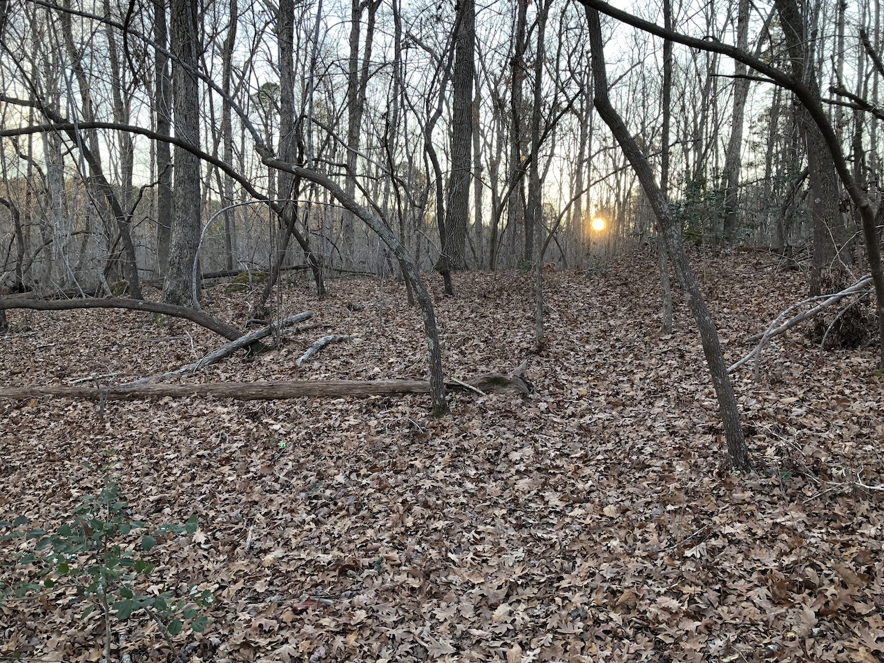
We started the day a mile in the hole. Our original plan was to camp high at the southern Dutchman-Uwharrie junction, but we opted to camp low and next to a water source. I’m not complaining, just stating the facts.
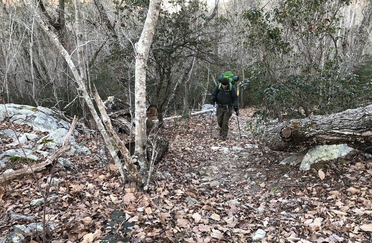
Eventually, and at a brisk pace I might add, we hit the junction and headed south on Uwharrie Trail. The route dropped ~350′ over the next mile and a quarter to the base of Dennis Mountain. On the way, we passed through a graveyard of hundreds of 10-story trees (probably a hyperbole, I didn’t actually count or measure them).
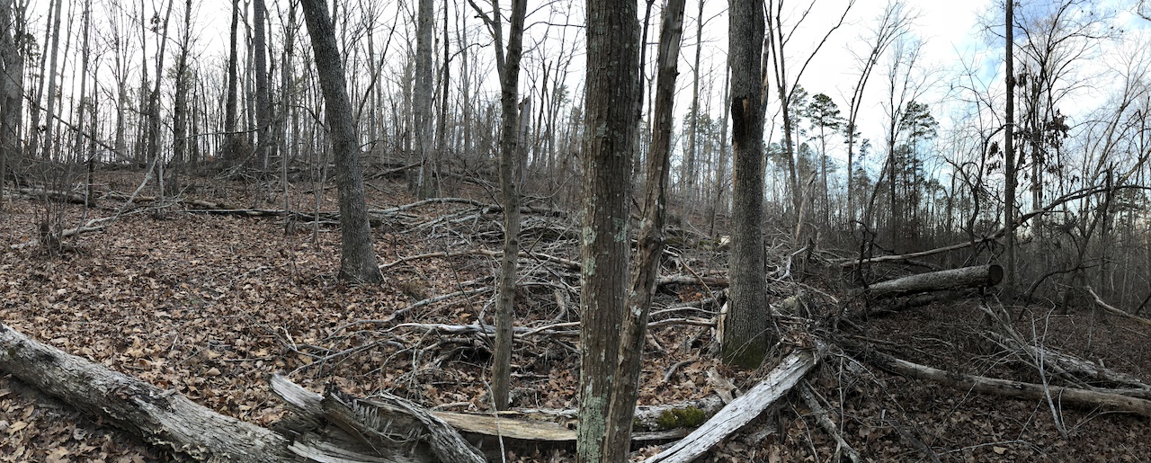
We also passed by three white reflective crosses hanging from small trees. We had passed one just shy of Supertree off Dutchman on day 1, but figured it to be a one-time deal. Then we passed these three at seemingly random places relatively close to one another. Were they warnings of sharp turns? Probably not, they were placed on straight stretches of trail. Did they have something to do with the Jesus? Doubtful. Bigfoot? More likely than the Jesus, but no. Were they markers for people who died there? Ew, no. Holiday decorations? OK, that’s just stupid. Yeah, I have no idea what their purpose is.
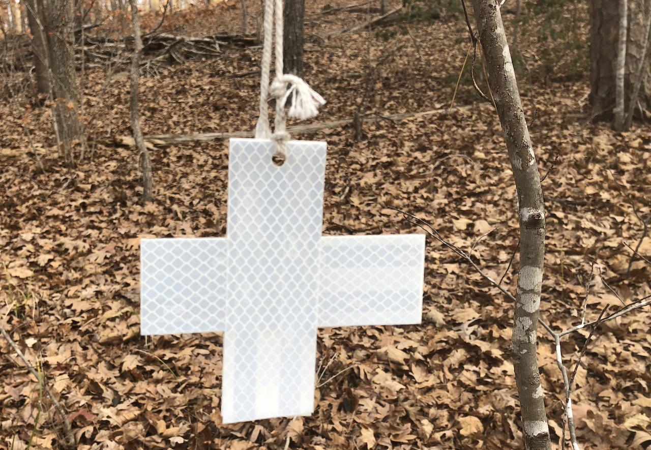
We also passed three dudes who spent the night under a tarp having breakfast by a fire. It was a weird encounter. One dude talked. One dude just stood up and flexed his muscles. And another dude, this old fella, just kept messing with something in his bag. Needless to say, we didn’t stop. Just waved, said something really obvious like, “Sure is cold!”, laughed a hesitant chuckle, and proceeded to put distance between us and them. I’m sure they were just there having a good time, right? Right.
Once we hit the base of Dennis, the trail went straight up the mountain; 357′ for a half a mile. Seriously, does anyone in Uwharrie know what a switchback is? You zig right. You zag left. You repeat the previous two actions as many times as needed until you reach the top. Clearly, whoever was in charge of the trailblazing just popped a line and said, “Blaze it!”
We continued our reverse downhill climb, crossed Keyauwee trail (which circles Dennis), reached the summit, and celebrated by standing still for a bit.
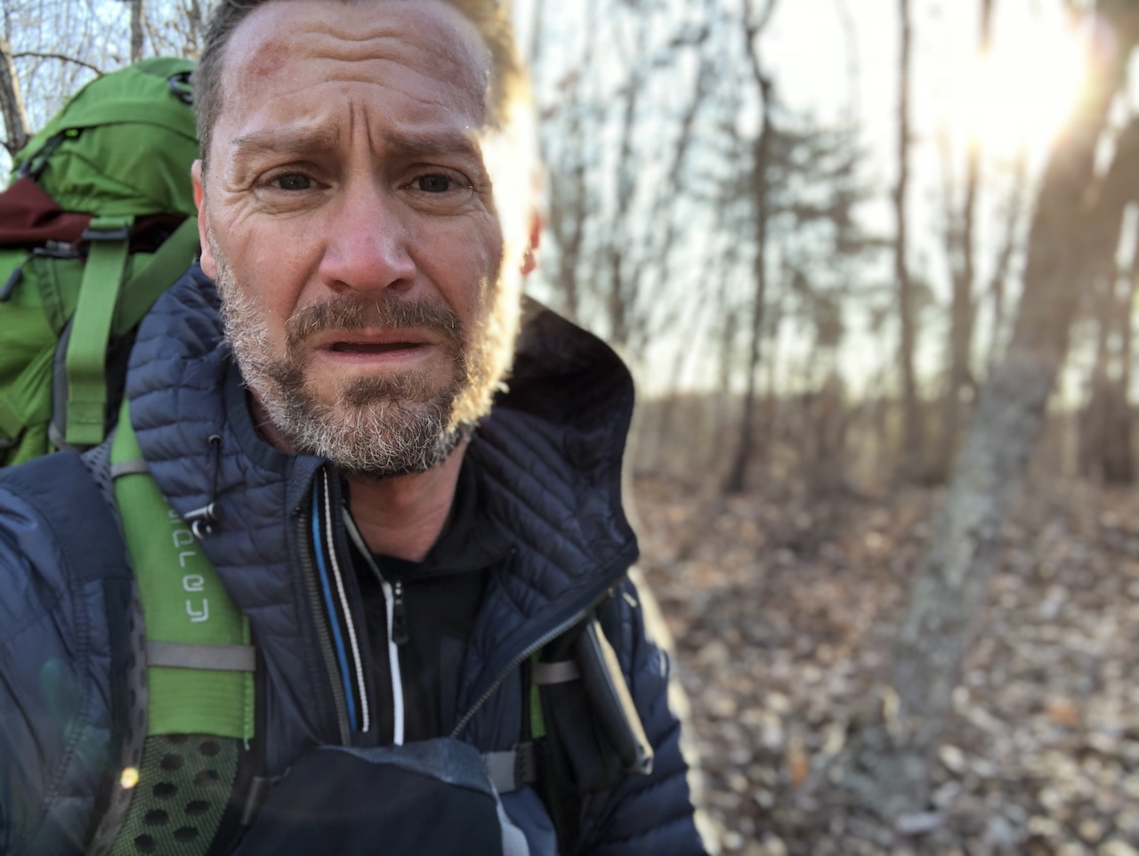
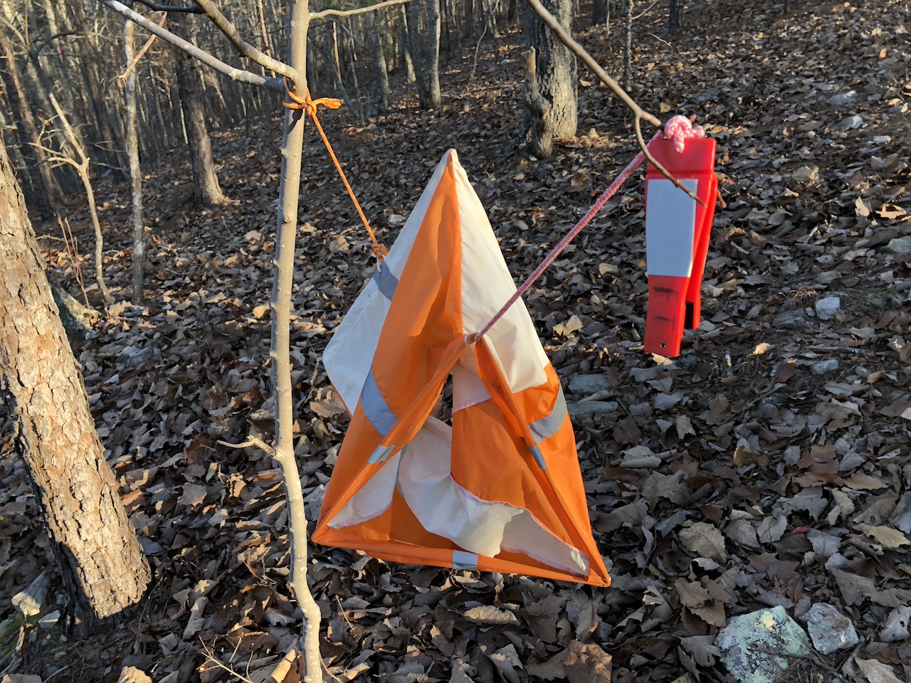
Looking around, I spotted this weird apparatus hanging from a small tree just off the trail. Upon closer inspection, it looked like it might be used to measure wind. Come to think of it, the area is also known for Bigfoot sightings so perhaps the contraption is some kind of Bigfoot detector. Whoa! Bigfoot.
From Dennis, we fired up the walking machines and climbed again for a mile. About halfway up we came upon a creek. Nestled back off the trail were the scouts we passed the previous day. I’m guessing they logged about 7 miles from Yates Camp via Uwharrie. Are we having fun yet?
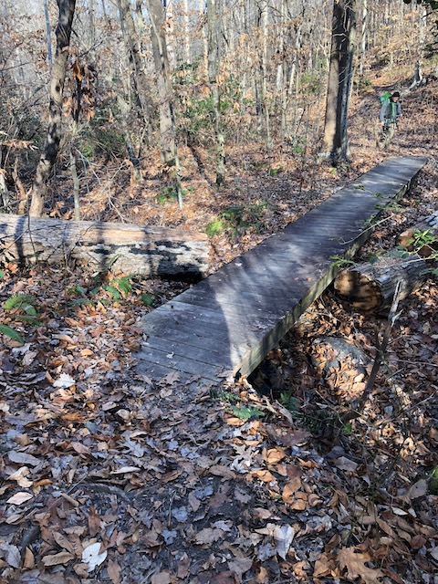
We passed the scouts and continued to ascend, passing a family of four who shared that they had opted to dayhike instead of pulling an overnight due to the cold. We laughed. They laughed. They went down. We went up. At the top, the trail flattened out for twenty yards or so before turning back down for a mile-long descent. We passed a few more hikers, then a lone hiker who stopped to chat us up for a bit. After small talk we pressed on, eventually crossing Woodrun Trail, then Keyauwee Trail, and then finishing our hike with a very uneventful 2-mile downhill homestretch to the parking lot.
TOTAL (20.13 MI | +2,777′ GAIN | -2,822′ LOSS)
FINAL THOUGHTS
I’m glad I finally got around to backpacking Uwharrie. The bang bangs weren’t as bad as I imagined. We heard a couple shots in the evening and in the morning; times when we were hanging out at camp not looking like deer. Come to think of it, there was this one dude who was headed out as we were coming in. He was dressed in full fatigues carrying a 50-pound rucksack and a high-powered rifle. But seriously, the pew pews were not a problem. As for water, it was definitely not the issue I had imagined. Just needed to be patient. The only thing that kind of bummed me out was the complete lack of wildlife (birds don’t count). Perhaps the animals were keen to the fact it was hunting season and they all headed south. Perhaps Bigfoot scared ’em away. Whatever it was, there were no signs of life beyond birds (which, I already said, don’t count.)
Backpacking in Uwharrie is worth the trip. The lower elevations make it easier to deal with the gains and losses. There’s plenty of water. Campsites are everywhere. Trails are well-marked and well-maintained. It’s clean. And there are many combinations of trails that could be used to create a pretty spectacular hike. If you haven’t already, you should definitely check out the Uwharrie National Forest.
BTW, the elevation gains on my Garmin suggested 3,951′ gain and 3,767′ loss. Though my watch has a barometric altimeter, I opted to post the corrected elevations that are created from professional surveys of the area. And, if you’d like, you can download the Garmin GPX for the combined 3 days.

Great article, thanks. Got a couple of chuckles out of it.
The reflective crosses are trail markers for one of two ultra-distance running races held there. Probably the Uwharrie 40 mile run held in Feb, but could be left over from the 100 mile race in the early fall. Yeah, 100 miles, 36 hour time limit. The Bigfoot detector? That’s as good a theory as anything I’ve got.
Thanks! I’ll have to check the routes for the 40 and 100. I thought the 40 was an out-n-back, but the 100 would make sense with the location of some of the crosses. Anyway, I’ve got some work to do. Much obliged for the insight.
Thank you for the information! How did you go about making that map and plotting the water and campsites?
Sure thing. The map is a combination of several maps including the forest service map, a mountain biking map, and various layers using GAIA and AllTrails. The campsites I picked were based on water sources and trip reports. There are many sites along both the Uwharrie and Dutchman trails. If you keep going north towards Yates you can camp there or further up the trail. I’ve been out there several times backpacking, hiking, and trail running. It’s a great place. Have fun out there and be safe.
Thank so much! I’m going to check it out.
Infamous vault toilets! Lol. For research purposes Yates commode has an unhinged lid at the moment, making it a possible entry point to hell if you slide off of the seat 😂
Thank you for the highly informative article. We are planning a 20m trek for our boy scout troop and this information will be very handy.
That flag was a control marker for an orienteering course. You can run or walk. It uses an electronic finger punch to log the time you made it to the control flag. At the end of the course it prints out your times and GPS coordinates. Looks like this:
Orienteering! Thanks for sharing (though I was secretly hoping it was a Bigfoot detector). Uwharrie and the neighboring Birkhead are really great. Lots of options and a great place for a scout to earn their hiking badge. Y’all stay safe and have fun!
Thanks so much for this article!
What an incredible adventure you had exploring the Uwharrie National Forest! Your detailed planning and preparation truly paid off, allowing you to fully enjoy the beauty of nature and the challenges of the trail. As you continue to embark on outdoor adventures, I highly recommend bringing along Black Beard Fire starters to make your camping experience even more convenient and enjoyable. With Black Beard Fire starters, you can spend less time worrying about starting your fire and more time immersing yourself in the wonders of the forest. Happy hiking, and may your future trips be filled with unforgettable moments and cozy campfires!