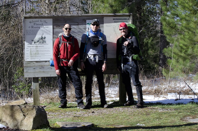
I first read about the Roaring West Wilderness (RPW) when my buddy, Coop, and I were considering routes for our most recent winter trip to Dolly Sods. About a month after that trip, Coop invited me to join him and his brother-in-law, Craig, in the RPW for Craig’s first backpacking trip.
Located in the Allegheny Mountains of eastern West Virginia, the Roaring Plains Wilderness spans more than 12,00 acres of the Monongahela National Forest and is said to have the most vertical relief in West Virginia. To get a better sense of the area Coop and I put together our Plan A using hillmap.com and the GPX from HikingUpward.com. The plan was simple: hike the 12.46 mile Roaring Plains West Wilderness Circuit, climb 2,560′, descend 2,566′, and drive to Amelia’s for breakfast when we finished.
Then came the wrenches.
THE PLAN
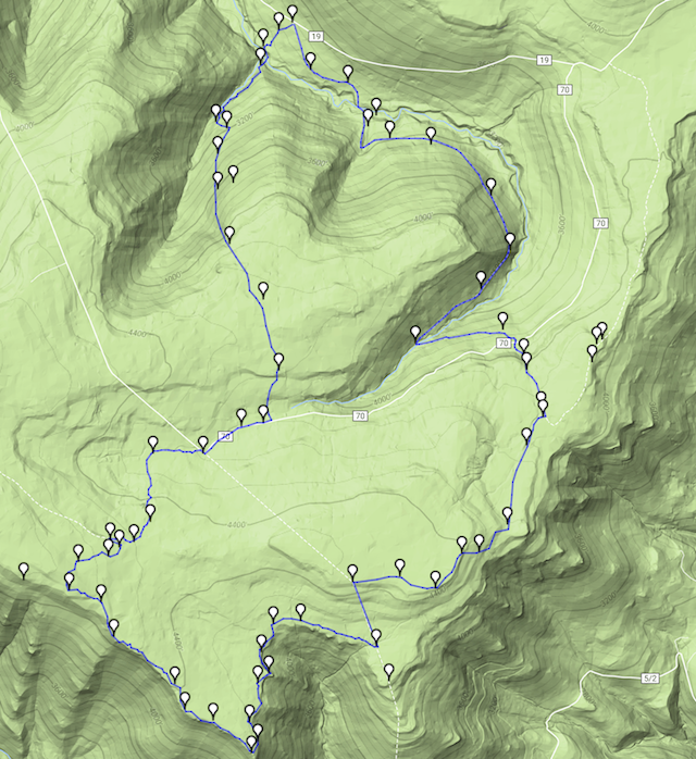
A couple weeks before the trip Coop contacted the forest service who said the gate at FR19 might be closed. If that were true we’d have to park at the Red Creek trailhead and walk a mile up the mountain on FR19 to the South Prong trailhead (and a mile back to Red Creek at the end of our route). Plan B wasn’t a deal breaker, but it wasn’t awesome either.
About 10 days out, the weather forecast was showing 1″-3″ of snow for Thursday (the day before our trip) and another 1″-3″ on Friday (the day of our trip). In the days to follow, the forecast flip-flopped between snow and rain.
With three days to go, the forest service emailed Coop to let him know that the gate at FR19 was open. Yay! The forecast, however, worsened. Boo! Snow totals increased to 3″-5″ on both Thursday and Friday, and temps on Friday would range from 20°F to a balmy 32°F with sustained winds at 32MPH and gusts to 50MPH. On the bright side, if we could survive Friday’s nonsense we’d be sitting pretty as Saturday and Sunday were shaping up to be clear, calm, and warm.
DAY 1 (2.3 MI | +230′ GAIN | -427′ LOSS)
On Friday, I picked up Coop and we drove to Harman, WV where we planned to meet Craig. About 20 minutes out we hit the snow. On our side of the mountain snow-covered roads made driving difficult; especially for one particular truck driver trying to inch his way up and over the mountain. On Craig’s side, the road was bad enough to force a closure causing him to reroute about an hour out of the way. To make matters worse, cell phone reception was spotty and the three of us had a very difficult time communicating with one another. Eventually, the backpacking gods looked kindly upon us and allowed us to meet up at 2:45PM (~ 2 hours after our original start time).
When we finally reached the South Prong trailhead I was struck by the conditions; intense winds, bending treetops, and sideways blowing snow. Good gravy. We were at a mere 3,000′. If we stuck with Plan A we’d be camping at 4,100′ in far worse conditions.
Instead of camping high the first night we decided to hike just past South Fork Red Creek and camp at a switchback about a mile from the trailhead. With the alternate plan in effect, we layered up, threw on our packs, and took off down South Prong Trail towards South Fork Red Creek. Sure, it was cold, but we were feeling good and our legs were fresh. Nothing could stop us. Not the wind, the snow, or even the snow devils twisting down the trail.
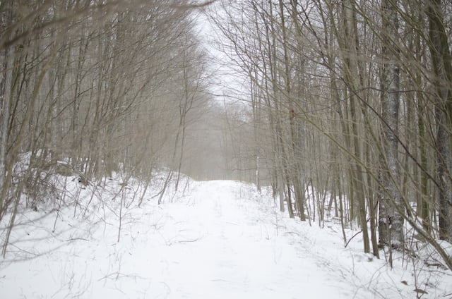
Photo by Coop
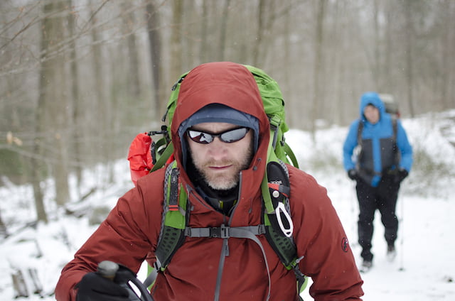
Photo by Coop
As we hiked we could hear South Fork Red Creek. It was loud. So loud that we thought it might actually be the wind. When we arrived it was clear the wind was not the source.
We stared at the creek for a long time in search of a way across before walking the shoreline for half a mile in search of Moses and his wooden staff. We pushed through rhododendrons, over downed trees, and up steep snow-covered hills. Nothing. Well, almost nothing. There was a dead tree about 8 inches in diameter that was lying across the creek. We briefly considered this as an alternative and then remembered we have wives and children.
With our options limited to a tree no one wanted to cross, we discussed returning to the South Prong trailhead and taking Boar’s Nest with the hopes that we’d be able to cross the creek downstream. We let out a collective sigh, turned around, returned to the trailhead, and proceeded to descend Boar’s Nest Trail.
After twenty minutes we reached a rather steep switchback leading to the creek. We studied the creek below and determined it was almost worse than what we had seen on South Prong. There was no sense in making the descent so we looked around for a place to call home for the night.
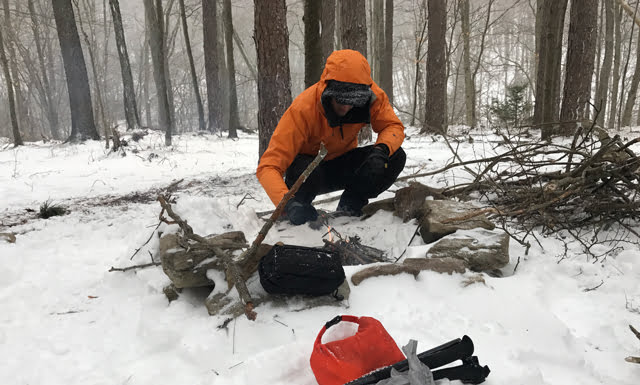
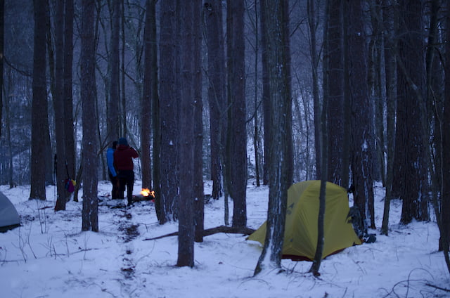
Photo by Coop
To our surprise we stumbled upon a huge fire ring with a grate and a pile of wood. Without haste we set up our tents and got the fire going. Over dinner we talked about our routes for the next two days. Since it was extremely unlikely that the creek would subside overnight we discussed driving up to the other South Prong trailhead just up the road, taking South Prong (SPT) to a campsite near Hidden Passage Trail (HPT), then running an out-and-back to the pipeline via HPT. On Sunday we would take SPT to FR70 to FR19 to the car.
DAY 2 (8.11 MI | +1,036′ GAIN | -738′ LOSS)
Our day started at 8AM with a quick hike up Boar’s Nest to the car, and an even quicker, albeit slushier, ride to the trailhead above.
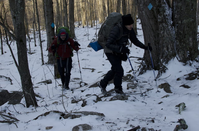
Photo by Coop
Cars parked and packs on we made our way down the SPT. For most of the way the trail was lined with rhododendrons and covered in either deep snow or deep melted snow. God bless the engineering marvel that is Gore-Tex.
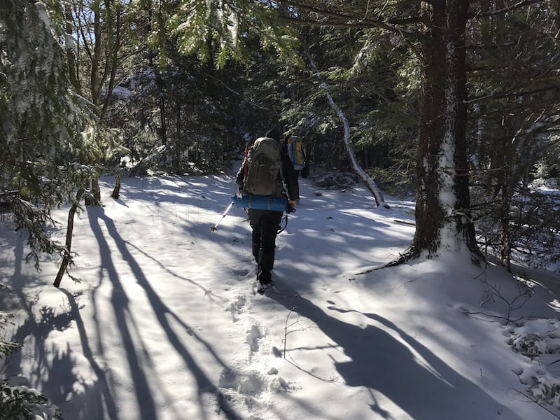
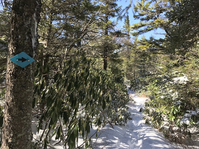
Unlike the previous day, the skies were clearing up and the temperature was rising. This made for good views when they presented themselves including a rocky outcropping just shy of the HPT-SPT intersection, about 1.75 miles from the car.
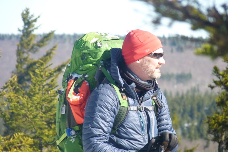
Photo by Craig
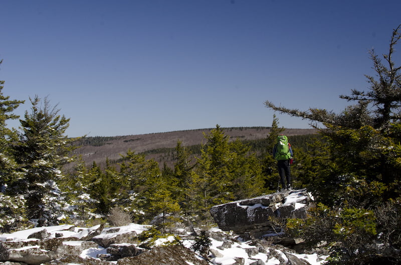
Photo by Coop
From the outcropping we hiked the last half mile to the SPT-HPT intersection. At that point, Hidden Passage Trail runs south and east (to the left) and SPT turns north (to the right). We hung a right, hiked about a tenth of a mile, and reached our evening’s campsite. The location was fantastic. A creek ran along the east side of the site and there were two fire rings–one at a site near the creek and the other on top of a hill with a great view of the sky. Since we didn’t want our campfire near our tents we chose the lower campsite to set up shop and the upper site for our fire.
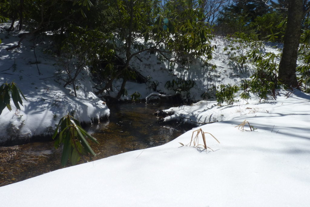
Photo by Craig
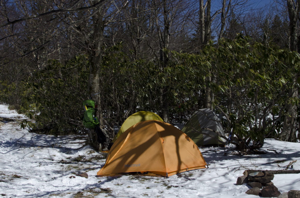
Photo by Coop
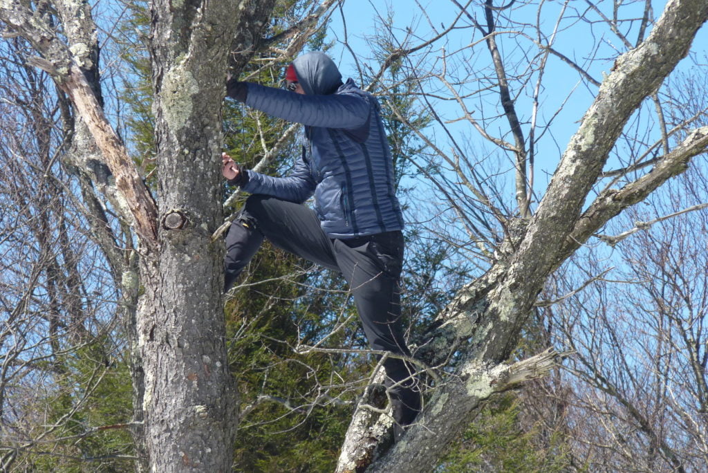
Photo by Craig
At noon, after pitching our tents and eating a quick lunch, we headed back out. This is the part where I say if you’re going to hike Hidden Passage you need a map and a compass, or a GPS with the capability of importing a GPX track of the route, or both. From our campsite we headed southeast (right) on SPT and then southwest (left) on HPT up a 10 foot hill to another campsite. The trail hugged the side of the campsite and wound its way through rhododendrons before opening up to a wide area with trees peppered throughout.
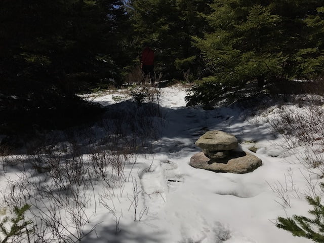
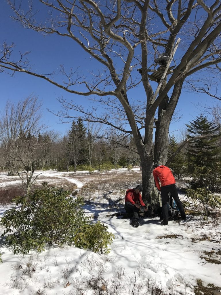
A quarter mile down the trail Craig’s heel started to bother him. We stopped at a tree that doubled as a deer stand. We joked that it was a backcountry cell tower as reception in the wilderness was no bueno.
With moleskin in place we continued down HPT following the cairns. In the distance, to the southwest, we saw a decent hill lined with pine trees. It took a while, but eventually the trail found its way up the hill and then cut sharp left (south) through the trees until eventually dumping into a clearing with an incredibly picturesque view of mountains to the south.
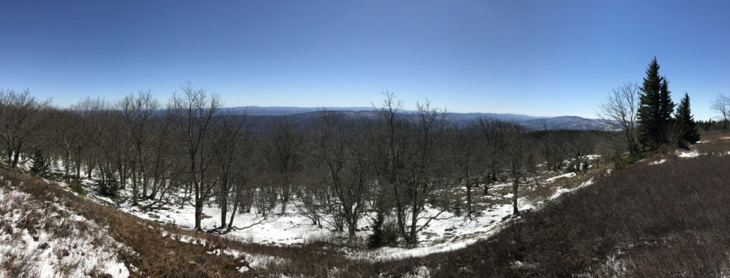
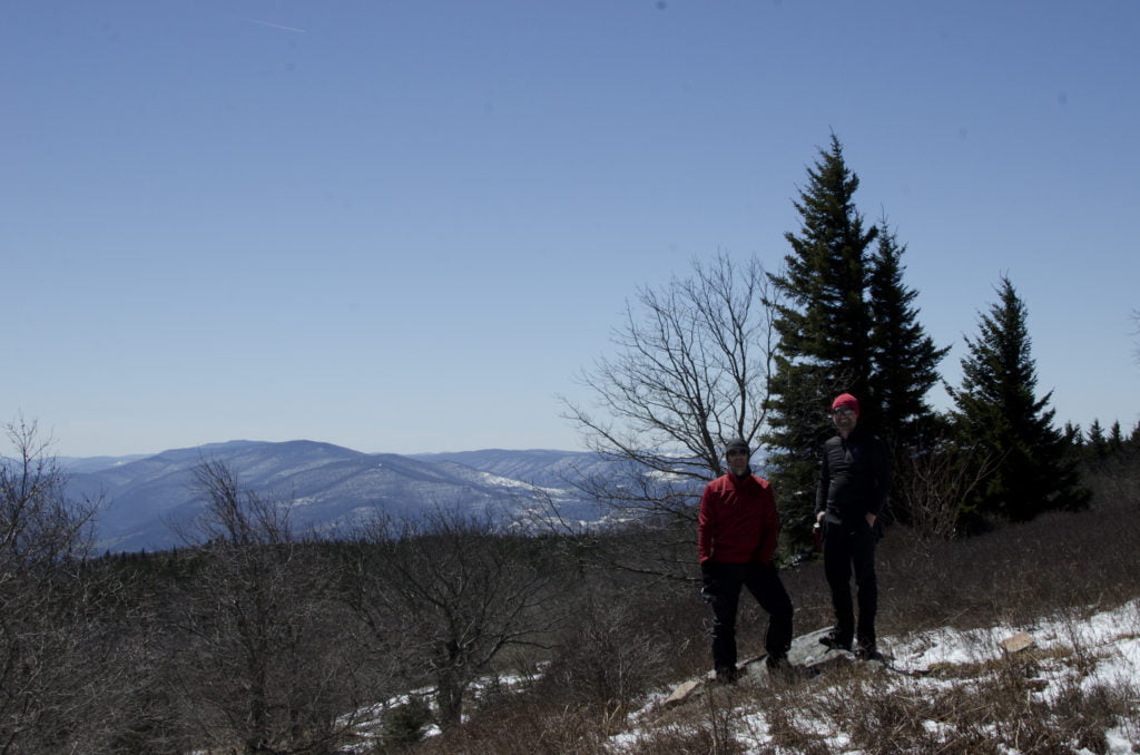
Photo by Coop
We stayed for 20 minutes (in part to unsuccessfully find a glove I dropped) before continuing on the HPT to the pipeline. For the remaining half mile the trail cut through tall grass riddled with game trails.
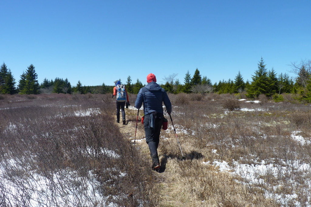
Photo by Craig
We reached the pipeline about 2PM and discussed taking the Canyon Rim Trail (CRT) or continuing down the pipeline to the “hump” off in the distance. Because we wanted to be back by 4PM we decided to forgo the CRT in favor of the hump.
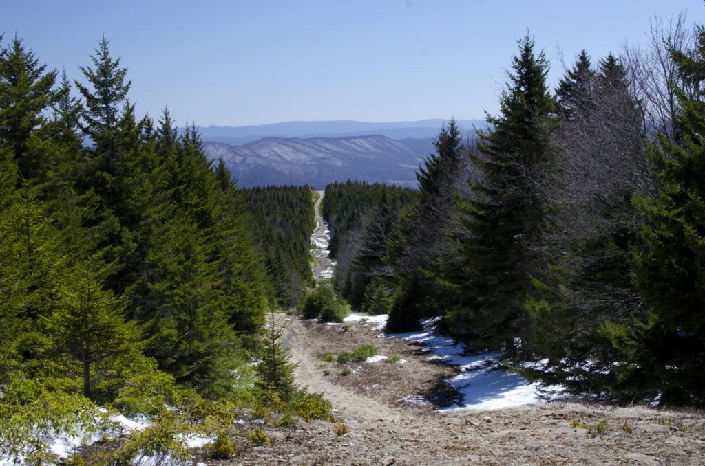
Photo by Coop
The rain and melting snow made the pipeline hike interesting. Each step required additional effort as the mud pulled on our boots. Every other step required some maneuvering around or through a stream of water making its way down the hill. After twenty minutes of playing tug-o-war with the mud and water we reached the hump. Take note, if you want a view of the canyon avoid the hump and take the CRT. If you like boundary signs and survey markers, hit the hump.
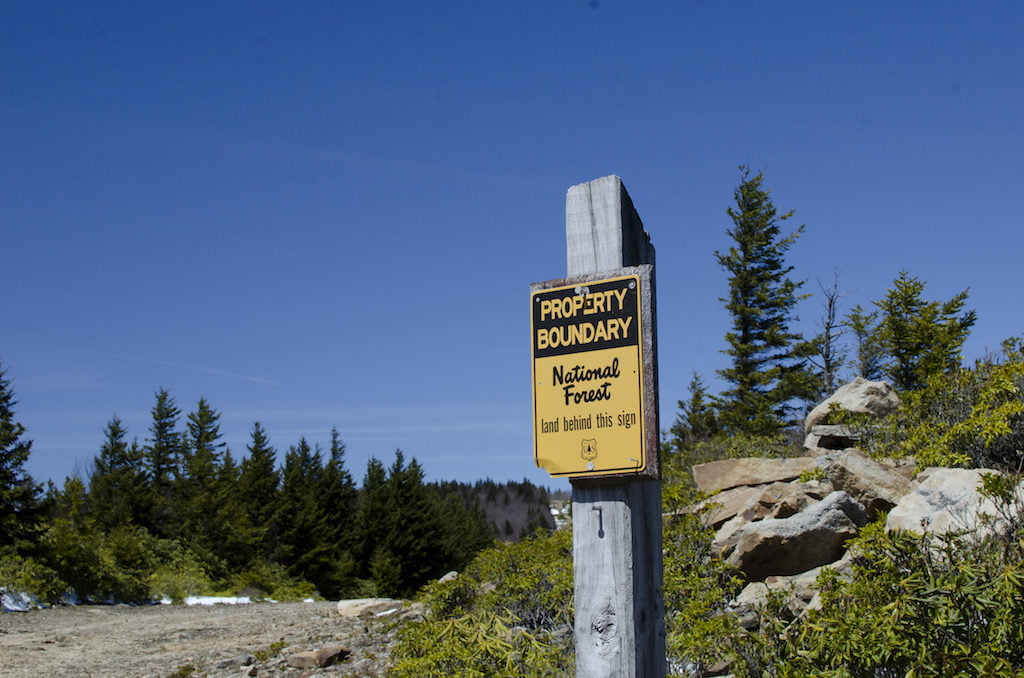
Photo by Coop
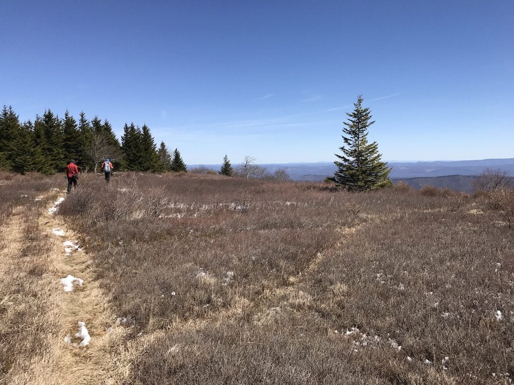
Back on the pipeline we retraced our route through the grass and over a few hundred piles of bobcat poop. At the clearing we looked once more for my glove before continuing on through the pine trees. A tenth of a mile later Coop found my glove and I stopped obsessing about my glove’s life as a widower.
When we returned to the campsite much of the snow had melted away. Only the snow under our tents remained. To avoid a colder than necessary evening we uprooted our tents and cleared away the snow, slush, and ice. The warmer temperature also took care of the snow at the campsite on the hill and turned the whole area into a big giant puddle. Since we didn’t want to sit in water, we abandoned the soggy fire ring in favor of a new one we’d build downwind from our tents. Once construction was complete, we gathered wood, Coop started the fire, and Craig and I hung paracord for the bear bag.
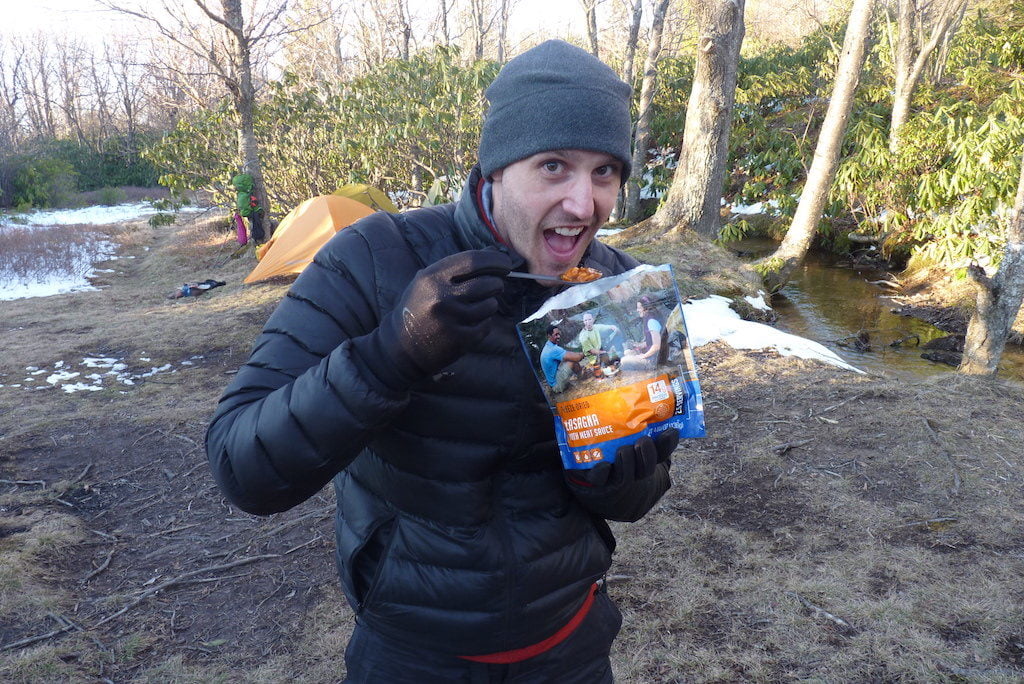
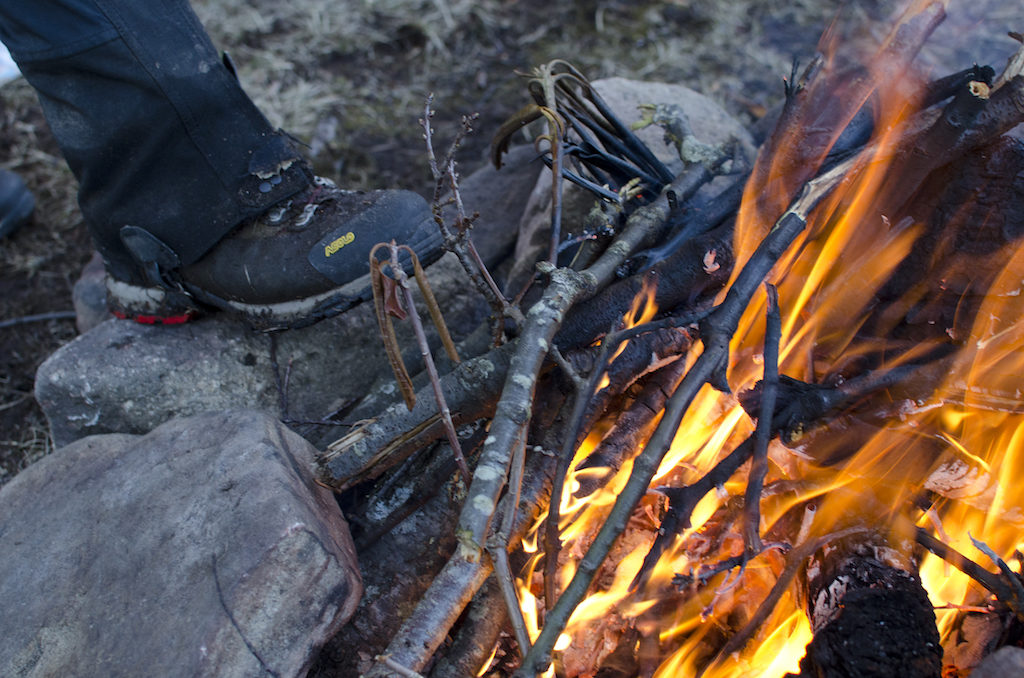
Photo by Coop
Night eventually fell and I wasn’t far behind. As I slept, Craig and Coop stayed up to capture a few star shots before turning in as well.
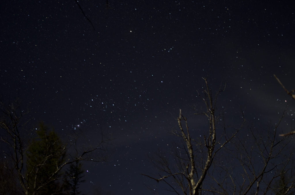
Photo by Coop
DAY 3 (2.41 MI | +213′ GAIN | -400′ LOSS)
We woke at 7AM, broke camp, and set out for the car. From the campsite we turned left (north) and hiked about 0.4 mile before reaching FR70. At the intersection we turned right (northeast) and took FR70 about 1.75 miles to FR19.
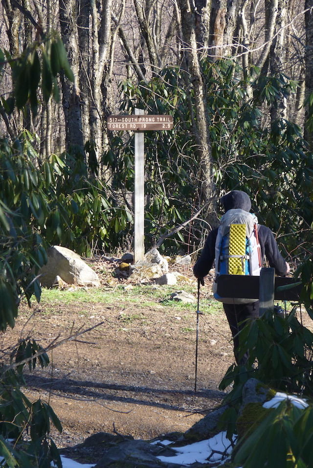
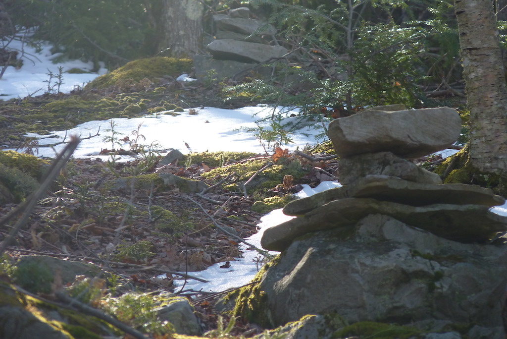
Just shy of FR19 we came across a set of cairns that led up a hill towards SPT. It made no sense and we didn’t follow them, but we were all curious as to why someone thought it was a good idea to bushwhack a trail between FR70 and SPT.
A few minutes later we reached FR19, turned right (southeast), and hiked the final 0.25 mile to the car.
TOTALS (12.82 MI | +1,479′ GAIN | -1,565′ LOSS)
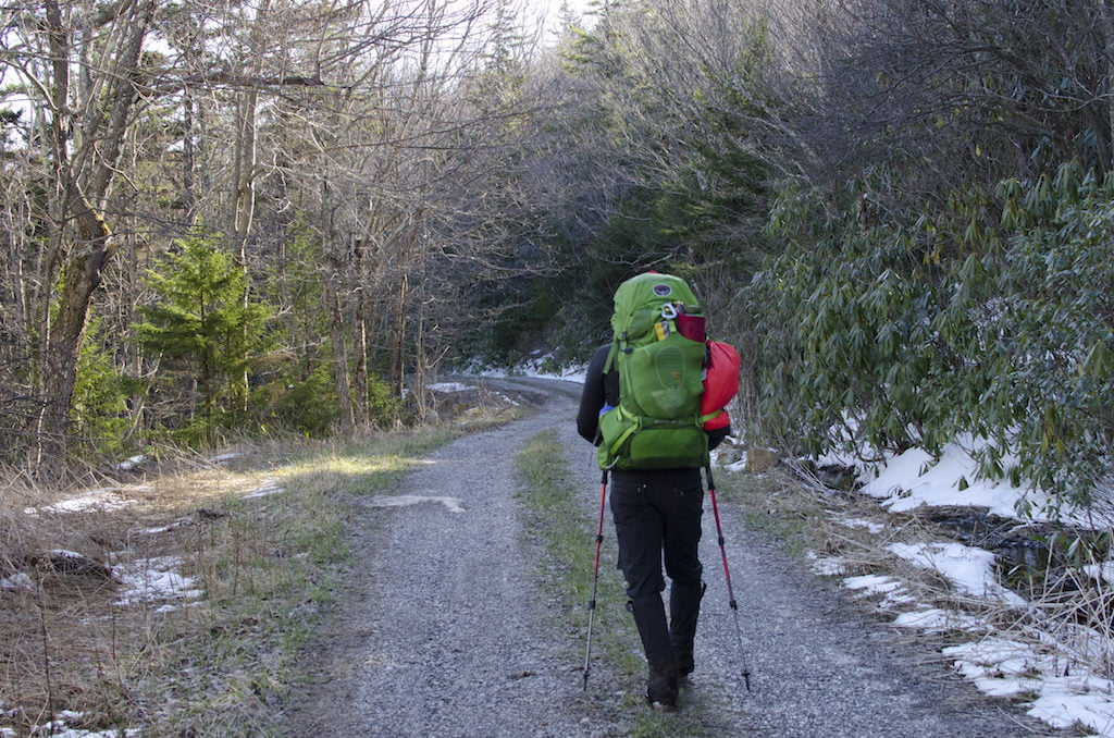
Photo by Coop
FINAL THOUGHTS
The Roaring Plains West Wilderness was great even with fickle weather. I’m glad we researched the heck out of the area prior to heading out as the knowledge of the place came in handy when we couldn’t cross South Fork Red Creek. I can totally see a return trip to the area to complete our planned route. Hopefully the backpacking gods will be in our favor when we do.
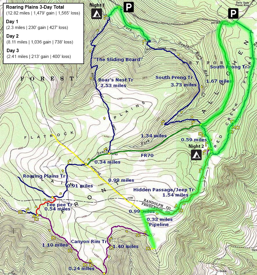
Click to view the full map
SOME MORE THINGS…
After 6 years with my Osprey Kestrel 48 I upgraded to the Osprey Atmos AG™ 50. I loved the packs Anti-Gravity™ suspension system; it really handled all my gear like a dream. I didn’t quite love:
- The FlapJacket™ (a lid under the floating top lid) was a PITA to workaround whenever I needed to get in the pack;
- Lack of sleeping pad straps were a slight inconvenience; and
- Side stretch pockets require a triple jointed elbow to access.
That said, I actually really liked the pack, it’s just going to take some getting used to.
