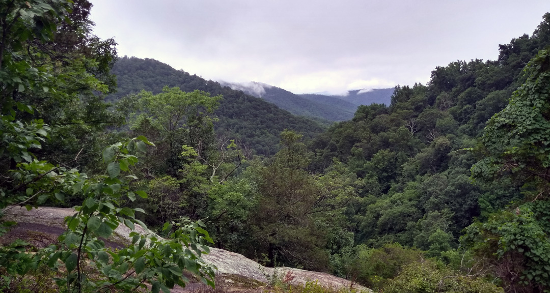
Photo by Coop
On our most recent trip to the Mt. Rogers National Recreation Area, my buddy, Coop, suggested we hit up Shenandoah National Park. Located 75 miles southwest of Washington, D.C., the park has 196,000 acres of backcountry and wilderness, over 500 miles of interconnected trails, a boatload of waterfalls, and is home to a great deal of wildlife including a pretty dense population of black bears.
Upon returning home, we researched the area and asked around to see if anyone wanted to join us. A month later, we increased the party by one and narrowed our trip to the northern section of the park between Mary’s Rock, Stony Man, and Old Rag.
THE PLAN
Using GAIA GPS, Coop mapped out a couple different options before we settled on a route that spanned ~32 miles with ~10,000′ of gain over 4 days with an optional 8-mile dayhike for good measure. He then worked with the Park Service to secure a free backcountry permit, monitor alerts, and determine any necessary fees.
As the trip got closer, we watched the forecast change daily. On the upside, it looked like it was going to be a somewhat cooler summer trip; highs in the low 80s and lows in the upper 50s. On the downside, rain was all but certain and since the Park Service strongly discourages hiking Old Rag in the rain, our fourth day was up in the air.
With our route all but decided, I built out the trip in our spreadsheet based on a 1.5 MPH pace…
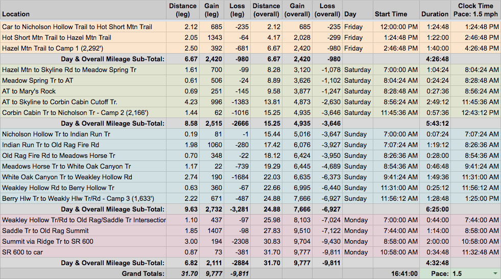

…created an elevation profile using Google Earth

…Coop dropped in the route
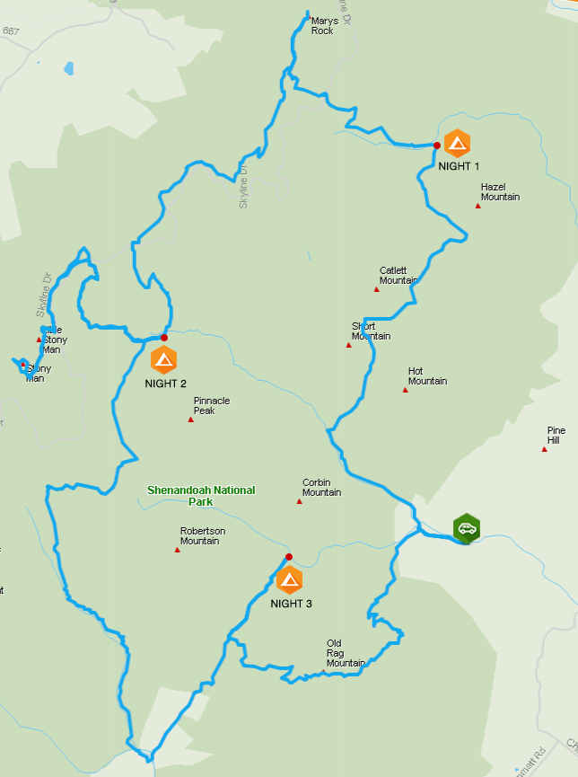
…and then he packaged it all in a map he printed on TerraSlate paper. We then loaded the route into our respective GPS watches* and waited for the big day.
*This trip was the first one that I’d be using my Garmin Fenix 5X. I was eager to see how the maps worked out and interested in the battery life (even though I brought an Anker PowerCore 10,000 as a backup). To make the most of the routable topo maps, and in addition to the full route’s GPX, I also loaded each day’s route individually including the optional dayhike.
PACKING IT IN
On previous summer trips, my pack weight came in around 26 pounds. For this trip, I assumed it would be similar, perhaps even lighter. After all, I didn’t have to worry about a saw or firestarters since fires aren’t allowed in Shenandoah. But, because of the potential for rain and bears, I added two things I normally don’t take: a tarp (15 oz) to shelter us at camp and rope (15 oz) to hang our packs. And, since we were looking to potentially hike ~40 miles over 4 days, I brought about 2 pounds more food than usual. Lastly, and for whatever reason, I opted for my 50L pack (4 lbs) over my 34L bringing the total (with water) to a hefty 29 lbs 15 oz. Yeah, definitely not lighter than previous trips.
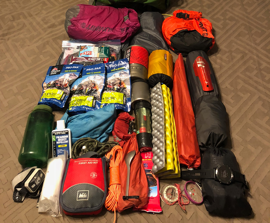
Because I’m an obsessive nerd, I weigh every piece of gear I own and load the information in a spreadsheet that I use to populate each trip’s gear list. So far, it’s been accurate to within an ounce. I’m happy to share it if you’re interested, and if you’re curious about everything I crammed inside my pack for this trip, you’re welcome to download my complete list.
DAY 1 (7.97 MI | +2,005′ GAIN | -666′ LOSS)
Coop, Mark, and I arrived at the Old Rag Mountain Trail parking lot around 12:15PM where the temperature was about 82F and the skies were blue. We stopped at the fee station to pay the $30 entrance fee and go over the backcountry permit with the ranger. With formalities out of the way, we returned to the car, loaded up, and headed out at 12:46PM.
From the parking lot it was a half-mile, uphill walk to the SR600/Nicholson Hollow Trail intersection. Since we were hitting Old Rag on the way out, we turned right down a private driveway and then onto Nicholson Hollow at the bottom of the hill.
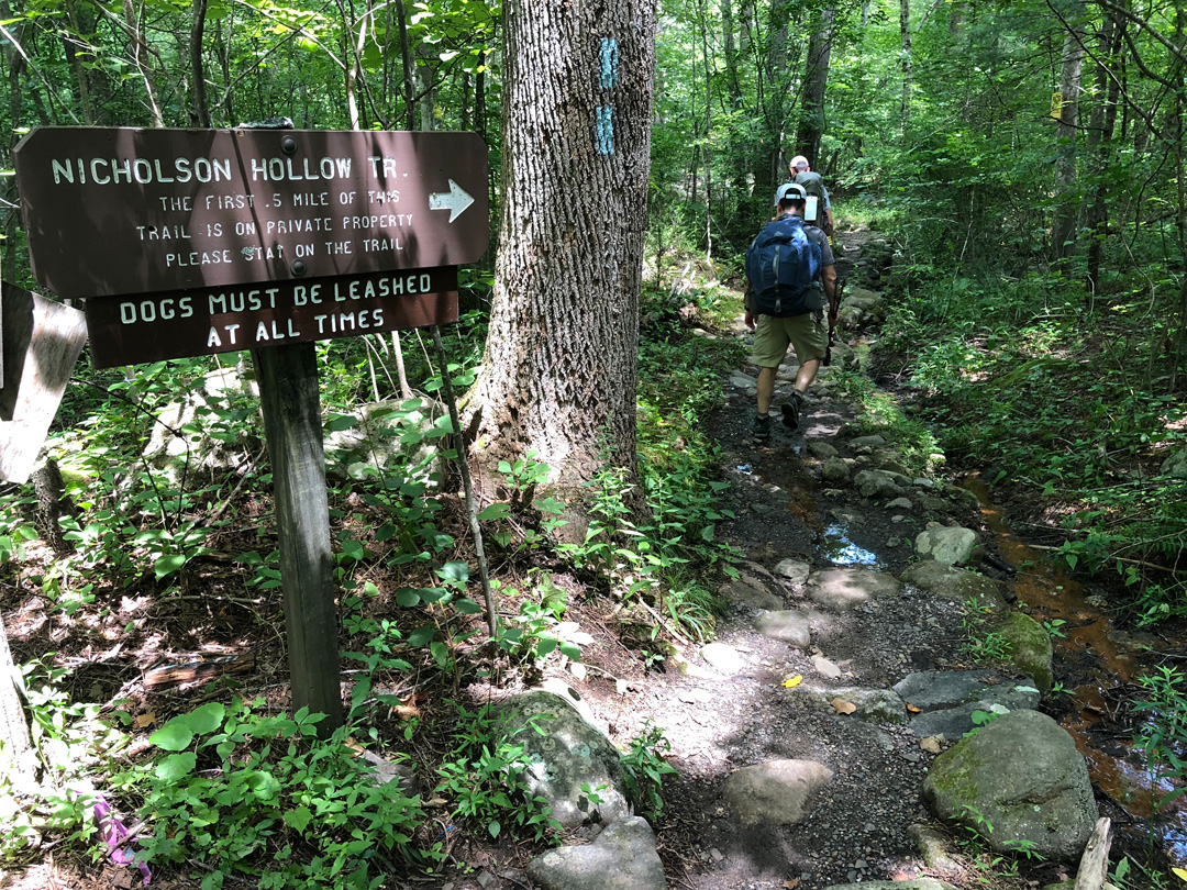
We followed the trail for 20 yards, crossed Hughes River, and then continued to follow the trail and the river for 1.75 miles and 300′ of gain to our first turn at Hot Short Mountain. Along the way we were forced to climb over and around several fallen trees; green leaves still clinging to their branches. About halfway to our turn we encountered our first and only hikers of the day—a dude and a dog followed by a family with a backpacked kid.
The tree cover did a great job keeping the sun out (YAY!) and the heat and humidity in (BOO!). And then we turned up Hot Short Mountain Trail towards Hazel Mountain Trail, 2.3 miles and 1,264′ of gain away. Sweat started filling up my dark places. Thick clouds of gnats surrounded our heads.
After an hour (of slapping gnats on my face which is way more effective than swatting BTW), we reached the Hazel Mtn/Hot Short Mtn/Pine Hill Gap intersection; the latter being a southbound trail to the Hot Mountain peak. We turned left/north onto Hazel Mtn, walked 0.65 miles over relatively flat ground, and promptly took a wrong turn at the Catlett Mtn/Hazel Mtn intersection.
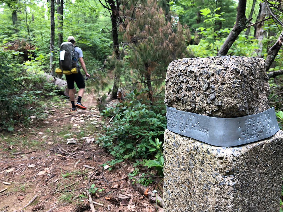
Here’s the thing. Coop looked at the map and his watch, and suggested we go right. I looked at the map and my watch, and suggested we go right. And Mark looked at the map and suggested we go right. Yet, for whatever reason, we turned left. Feeling good about life and the fact that we were descending instead of the alternative, we belted out a Pearl Jam cover and continued down the trail for a quarter mile before hitting a double blaze and no sign of Hazel Mtn Trail. We turned to our maps, compasses, and watches before realizing we were, in fact, idiots. We righted our wrong and made our way back up Catlett Mtn Trail to Hazel Mtn and the signpost that affirmed our stupidity.
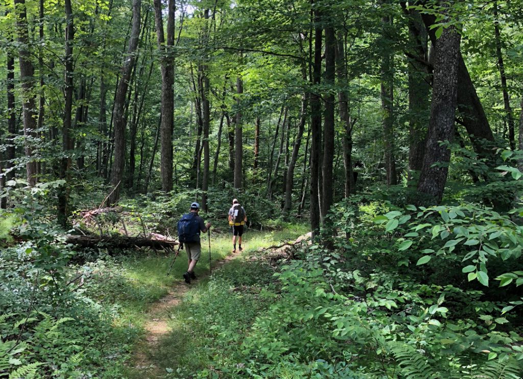
From the intersection, we continued northeast on Hazel Mtn. Trail, hung a left at the Sam’s Ridge/Hazel Mtn intersection a half mile later, passed another intersection leading to Hazel Mtn a quarter mile down the trail, then another one leading to Catlett spur 0.75 miles away, before winding our way to Hazel River, 8 miles from the car.
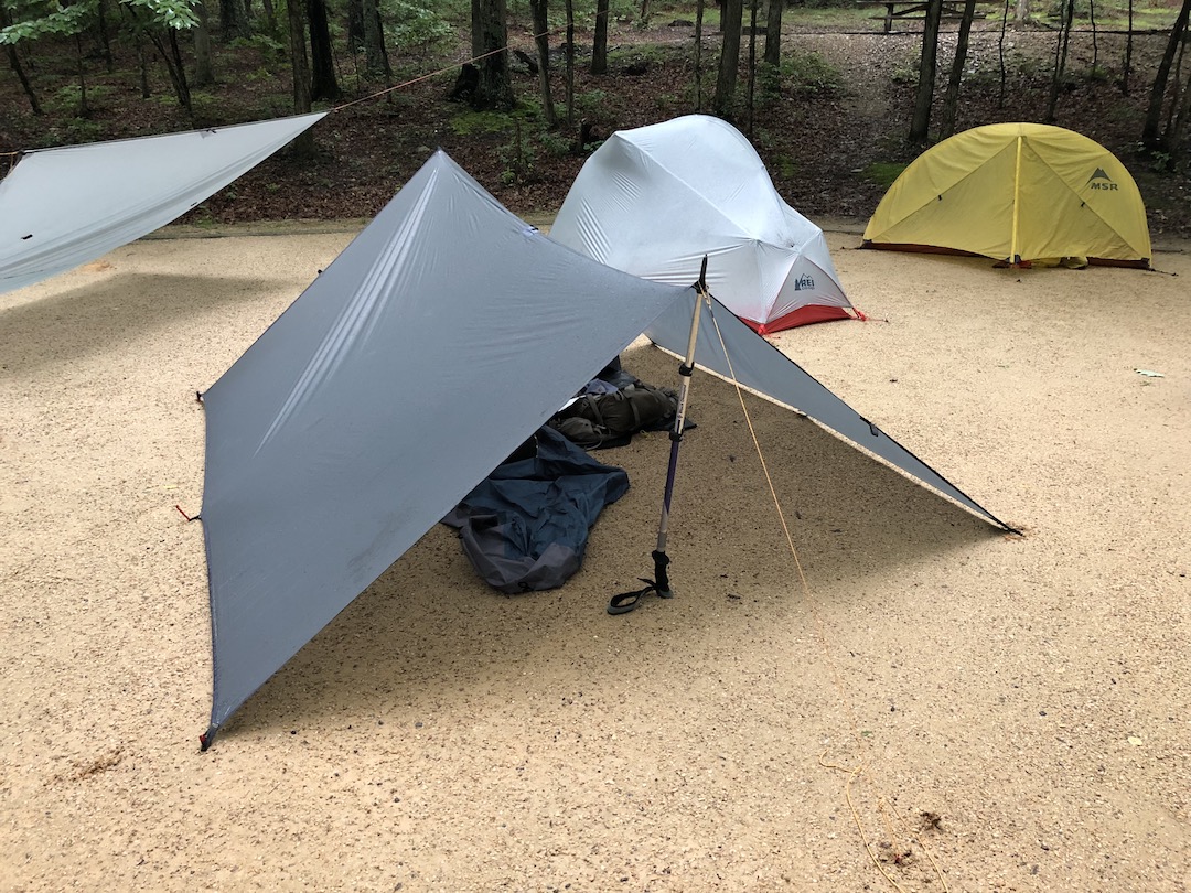
At first glance, our current location wasn’t the best of campsites. It was doable, but rocky, rooty, and sloped. Unsatisfied with what we had to work with, we walked around until eventually finding a sweet spot nestled in the brush that was big enough for two tents and a tarp.
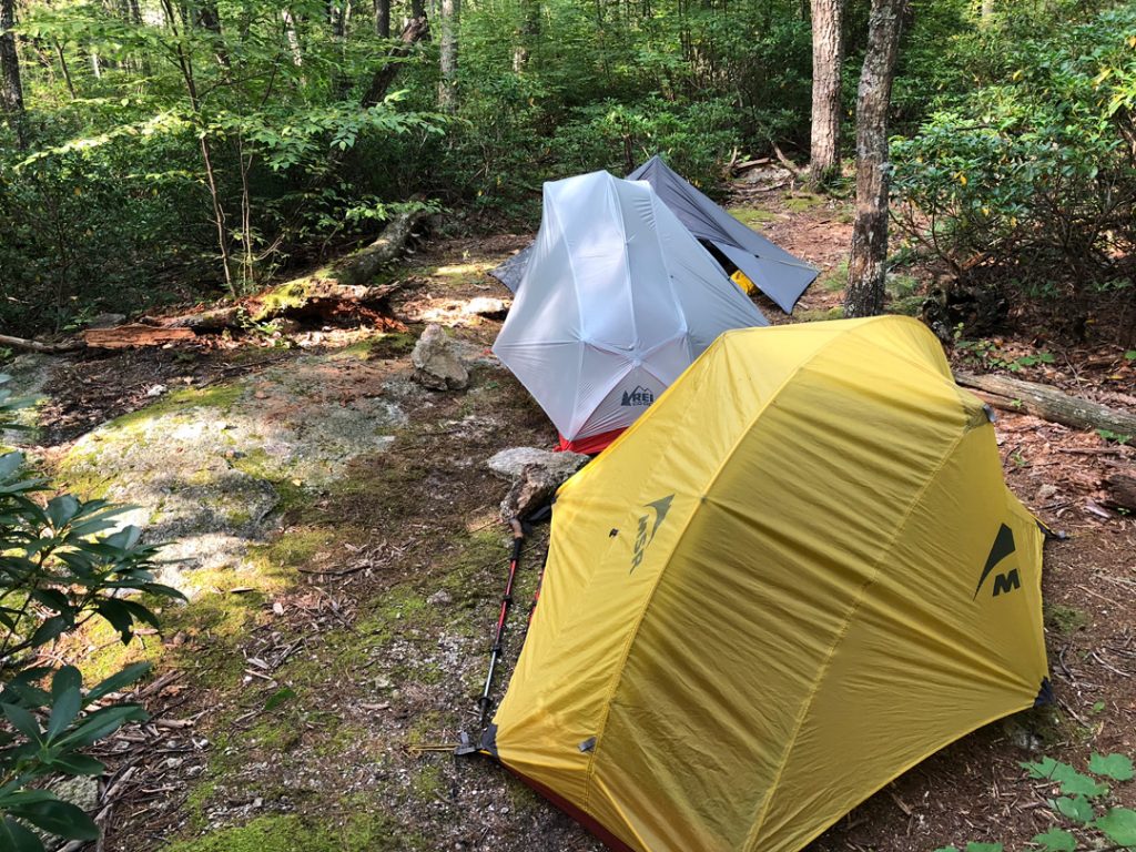
By 5:30PM our shelters were up. By 5:45PM our dinners were hydrating. By 6:00PM, we hung a line for the bear bag, nailing it on the…

At camp, the clouds moved in permanently as we chowed down. When night fell, we hung our food, went on a spider walk (where you turn your headlamp on high beam and scan the area for reflections of spider eyes. It’s a lot of fun. Give it a go at your house tonight. You’ll never look at your backyard the same), and called it a night just as the rain began to fall.
DAY 2 (15.01 MI | +3,350′ GAIN | -3,389′ LOSS)
In between the rain and the drop in temperature, I didn’t sleep well for the first few hours. Not because it was incredibly cold or because rain was leaking into my tent, but because I went to sleep wearing nothing but my skivvies and a T-shirt. The first time I woke up my brain said, “Hey, if you get inside the bag liner, put on your socks and your hat, you’ll be warm.” But I didn’t want to hear my brain’s stupid ideas and went back to bed, baffled by my body’s inability to stay warm. After waking up shivering a couple more times, I eventually realized that if I got inside my bag liner, put on socks and a hat, I’d be able to effectively stave off the cold. Once I did, I was able to sleep through the night without issue. I’m a genius.
I woke at 5:45AM to the sound of an owl asking anyone within an earshot who was cooking for who before I rolled off my mattress just after sunrise. Given our desired 7AM departure time, I quickly popped in my contacts, deflated my inflatables, and rolled up my bag liner. When I stepped out of my tent to start breaking it down, I heard something approaching from behind me. A little nervous to find out what was lurking in the woods, I turned my head, relieved at what I saw.
The deer eventually moseyed down the hill and I got back to what I was doing. Before long, the lot of us made our way to the dining rocks to cook breakfast, hang our shelters to dry, and shoot the breeze.
Throughout breakfast we discussed the previous day’s hike. The climbs, the distance, getting sidetracked, and singing. Somehow it turned into an episode of Behind the Music where our band, Coop and the Sandstones, were a huge success in the mid-80s. As it usually happens with all big bands, our lead singer, Coop, developed a British accent and turned to drugs, driving a wedge between him and the Sandstones. The band broke up and Mark and I tried to make it on our own, but inevitably we came crawling back to Coop. We got back together and released Patches of Blue, a song that chronicled our troubled past and put us on top once more. Sadly, our success was short-lived as our band broke up due to creative differences (i.e. no one wanted to write any other songs). Years later, we let bygones be bygones and formed a new band known as the Partial Covers where our schtick was not knowing all the words to the songs we covered. For the remainder of the trip, and as a means to pass the time and keep the bears at bay, we played a monster set of partial covers that would rival any band.
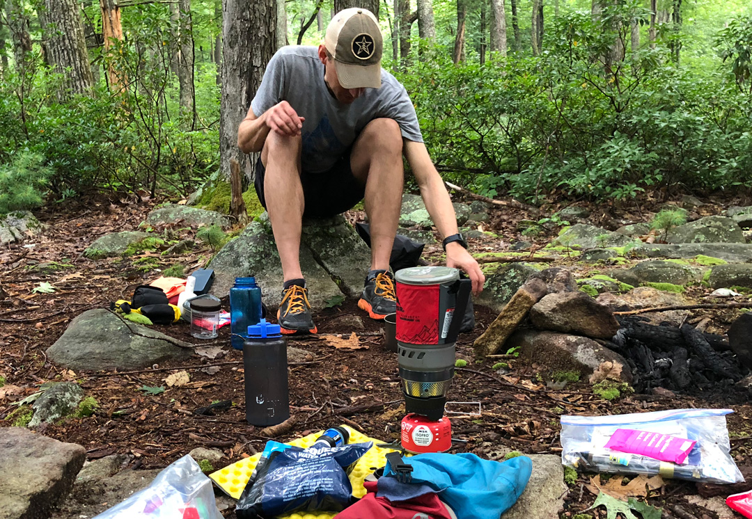
A couple more stories and another cup of coffee later, I answered nature, packed my bag, loaded the day’s route into my watch, hit start, and headed out at 8:27AM. The plan for the day was twofold. Hike 8.58 miles to our next campsite near Corbin Cabin, set up, then set off on an 8.33 mile out-and-back to Stony Man summit. Pff. Plans.
From camp, we headed west/northwest up Hazel Mtn Trail to Skyline Road. The skies were gray, there was a mist in the air, and the fog was slowly creeping in around us. Along the 1.6 mile hike to Skyline we passed a few piles of bear skat on the trail and one gigantic pile of human feces next to an equally large stack of tissue paper just off trail. The latter drew me in. It was the perfect poo. It was as if a fecal artist had molded a poomoji from a lump of turd clay. My brain took off.
I imagined the scenario that would cause a human being to leave behind such a trophy, in the wild, for the world to see. Perhaps they suffered from IBS and were driving along Skyline having not emptied their bowels in days when all of a sudden they felt pressure down below. With no restroom in sight, the individual whipped into the nearest parking lot, leapt from their car, ran down Hazel Mtn Trail before happening upon a pristine patch of dirt a quarter mile from the road. Trousers down, they assumed a squatting position and proceeded to two. As they did, a bear approached from the distance, forcing the individual to abandon their toilet paper squares and bolt back up the trail to their car. At least, that’s one explanation.
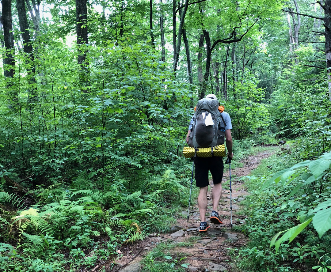
Anyway, at Skyline, the lot was full of cars. There was a group of people that appeared to be preparing for a long hike, and an older couple looking to log a few miles. We exchanged greetings with the lot of them, crossed Skyline, and picked up Meadow Spring Trail en route to the Appalachian Trail (AT). We followed Meadow Spring for 0.6 miles and turned right heading north 0.6 miles to Mary’s Rock where a handful of other hikers were already hanging out.
Normally, Mary’s Rock would be an ideal spot for views. Not today, though. Nothing but clouds in every direction. We hung out for a bit, watched the disappointed faces of runners and hikers arrive to the less than stellar views, checked the forecast thanks to a brief bit of cellular connectivity, refueled, and then headed back down the AT south towards Byrd’s Nest Shelter No. 3 about 1.3 miles to the west.
Along the way we discussed and agreed to fold our daytrip into our current route and eat lunch on Stony Man. We’d lose a couple miles overall by combining the two, but we were all feeling good and saw no reason to split up the day.
A short time later, we arrived at Byrd’s Nest No. 3. It’s a nice shelter, equipped with pack hangs, and open for overnights. There’s also a piped faucet, but it didn’t appear to be working (though our research uncovered a spring about 0.3 miles to the east).
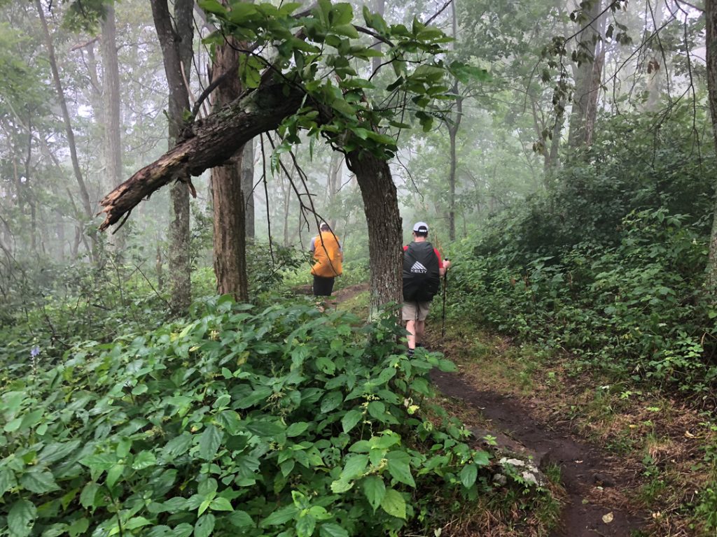
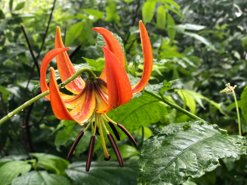
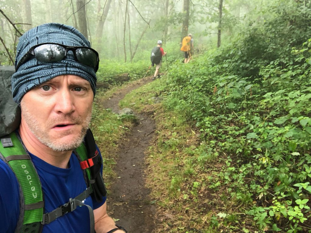
From the shelter, the AT climbs a bit before transitioning to a rolling downhill. We passed a number of hikers on the trail, and because the AT runs parallel with Skyline, we passed several parking lots including one with a restroom just west of Jewell Hollow Overlook. From there, the AT wound its way for another mile before reaching the Corbin Cabin Cutoff parking lot. After another mile we passed below the Stony Man Overlook which meant we had about 1.5 miles before we’d begin the climb to the top. Since I had each route’s GPX individually added to my watch, I switched to the dayhike and used it to give me a sense of what was in store.
At the base of the switchbacks (just west of the parking lot) there were people everywhere. Not one or two here and there, but several groups of 5 to 7 people that were either coming down or going up to the summit. We climbed the 0.25 mile of switchbacks to an outcropping of rocks that looked to be an active location for rock climbers.
From the outcropping we had about 0.75 miles and 400′ of gain before we reached the summit trail followed by another 0.25 miles and 150′ of gain to the top. I’m not sure why, given the fog we were walking through to get to the summit, but I kept thinking that once we reached the top the skies would open up and we’d see for miles. It did not. We did not. But we did eat lunch. Tuna and mayo wrapped in a tortilla followed by an oatmeal raisin Clif Bar. Ba chomp. Ba chomp. Ba chewy chomp.
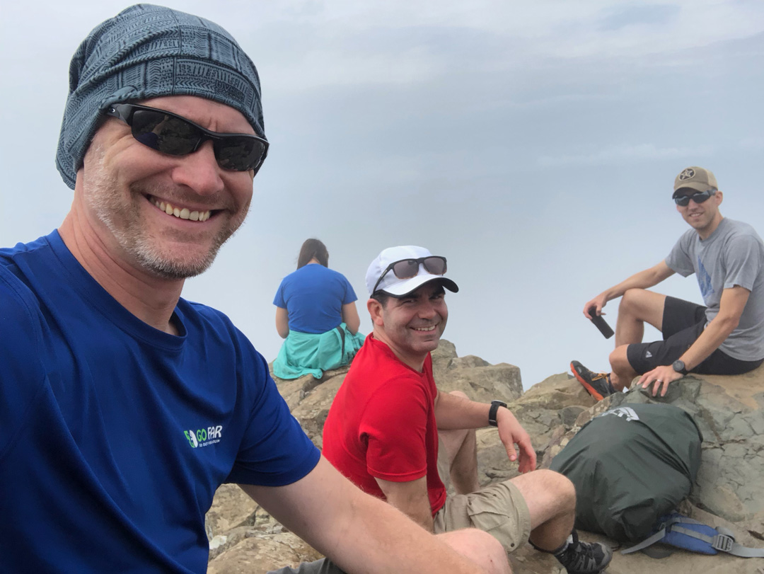
We sat around stuffing our faces and looking for the occasional reduction in cloud cover. After 30 minutes, we loaded up and headed back down the mountain.
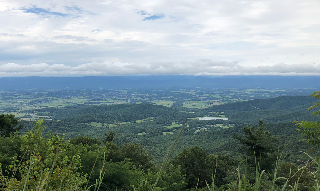
Looking at my watch, we had about 4 miles and 2,200′ of loss back to camp. We tore down the mountain. First to the AT, then the outcroppings, then the switchbacks, and finally the Stony Man Overlook—1.75 mi and 1,000′ of loss from the summit. It was there that we got our first views of the day. We snapped a few photos, made our way north along Skyline, and then dropped back into the backcountry via Nicholson Hollow Trail.
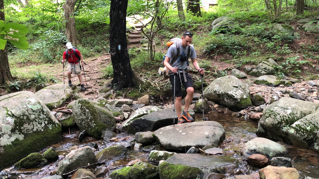
With gravity at the wheel, we sang, whistled, and laughed our way through the remaining 2 miles and 1,000′ of loss. Halfway down we picked up speed, pushing 3.5 MPH, and then…TIMBER! My right foot slipped on a rock. I tried to catch myself with my trekking pole, but I managed to miss the ground and tumbled to the dirt exhaling an “Oof!” on impact. Back on my feet, we continued our descent, crossed Hughes River about 1.6 miles from Skyline followed by the Indian Run/Nicholson intersection 0.2 miles later. I knew we were close because the map said we were close. And when I saw the private privy around the bend, I knew we were closer. It’s private because it’s only available if you have a key to the lock. And you only have a key to the lock if you are staying at Corbin Cabin.
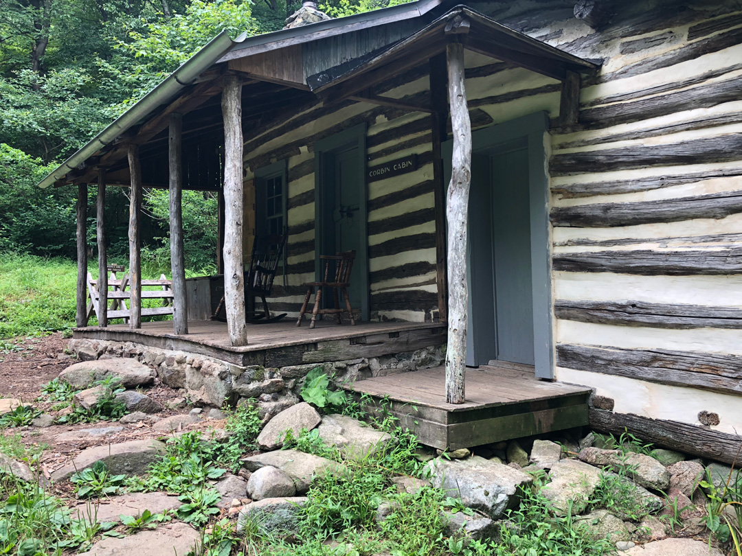
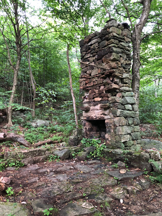
Quick aside, Corbin Cabin is a log cabin built by George T. Corbin in 1909. He and his family lived there until 1938 when the land was added to the Shenandoah National Park. The cabin, along with five others in the park, is maintained and rented out by the Potomac Appalachian Trail Club (PATC).
Anyway, we saw the privy, got excited that there was a privy, then saw the lock and got less excited, but then we got excited again because we could see a campsite which when we got closer saw that it had a “No Camping” sign which made us less excited until we looked across Hughes River and saw a spot which made us hopeful, but it turned out not to be good which made us the opposite of hopeful so we schlepped up Corbin Trail 20 yards or so where nestled way in the back about 50 yards from the trail among a patch of poison ivy we saw a clearing large enough for the three of us which made us happy.
We dumped our packs, set up shelters, hung the bear line, cooked, ate, and lounged around for a while. After a time, I went to answer nature’s call when, off in the distance, I saw a man and a woman hiking down Corbin Trail without a pack or a care in the world. I returned my shorts to their upright position and walked back to the dining log about 30 yards from the trail. The couple walked past our site, crossed Hughes River, and then made their way to Corbin Cabin. They were, evidently, our neighbors. From time to time they reappeared, looked in our direction, and then hurried back inside.
I’m not saying they were serial killers, but what if they were? Or, what if the guy was a famous author and she was his biggest fan? OK, surely I’m overthinking things. But there was this one time when the couple walked to a spot on Nicholson Hollow where they could see us sitting on our dining log. The two of them just stood there and stared at us for a few minutes. Stared at us…for minutes. Yeah, it was creepy.
After dinner and creepy stares, the rain started in. Within a few drops we moved our stuff into our respective shelters and Coop and I proceeded to hang the food. No sooner had we finished that the sky opened and the rain began to pour.
Sitting in my tent, I watched a little LOTR before succumbing to exhaustion. An hour or so later my bladder woke me up. It was dark, I didn’t have my glasses on, but I could see things crawling on my tent. When I finally got my glasses on my face I realized the things were ticks. Ticks on my tent door. Ticks on my tent walls. Ticks on the top of my fly. I decided to delay relief because peeing in the rain is one thing, but peeing in the rain while being accosted by ticks just ain’t worth it. I made a deal with my bladder and miraculously I was able to hold out until the morning.
DAY 3 (13.57 MI | +2,359′ GAIN | -3,547′ LOSS)
I woke at first light, popped in my contacts, exited my tent, then B-lined for a patch of ground that wasn’t covered in leaves of three. I did my business and returned to my tent, broke things down, hung my fly to dry, and relocated my belongings to the dining log.
For the second night in a row we had no visitors from the family Ursidae within the order Carnivora. As a result, our food bags were intact and I was able to start in on coffee and oatmeal. While food hydrated, I filtered water and fertilized the soil. Upon my return, both Coop and Mark were fixing breakfast, anxious as I was to get in some calories before the day’s hike which included a 2-mile, 1,000′ gain climb to Old Rag Fire Road and a monster 4-mile, 2,300′ descent to Weakly Hollow Road.
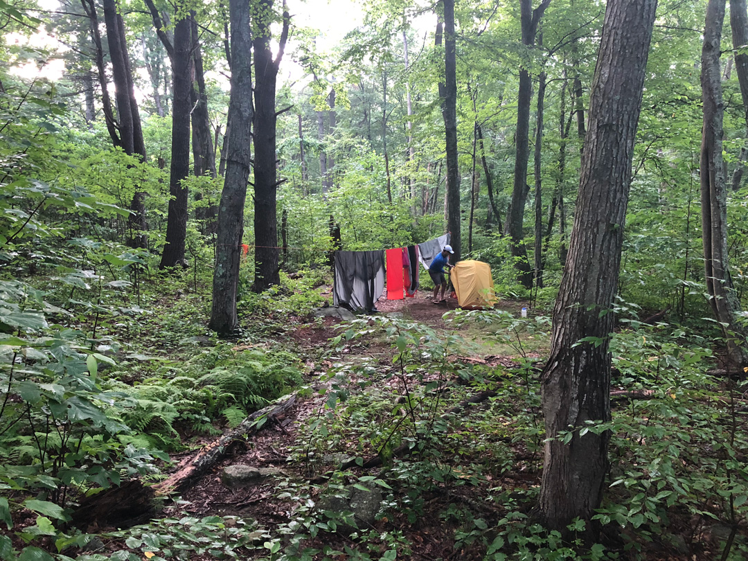
With food in our bellies, we buckled our packs, and headed out. South on Corbin, right/west on Nicholson, and then a long, slow, hot, and humid trek up to Old Rag Fire Road.
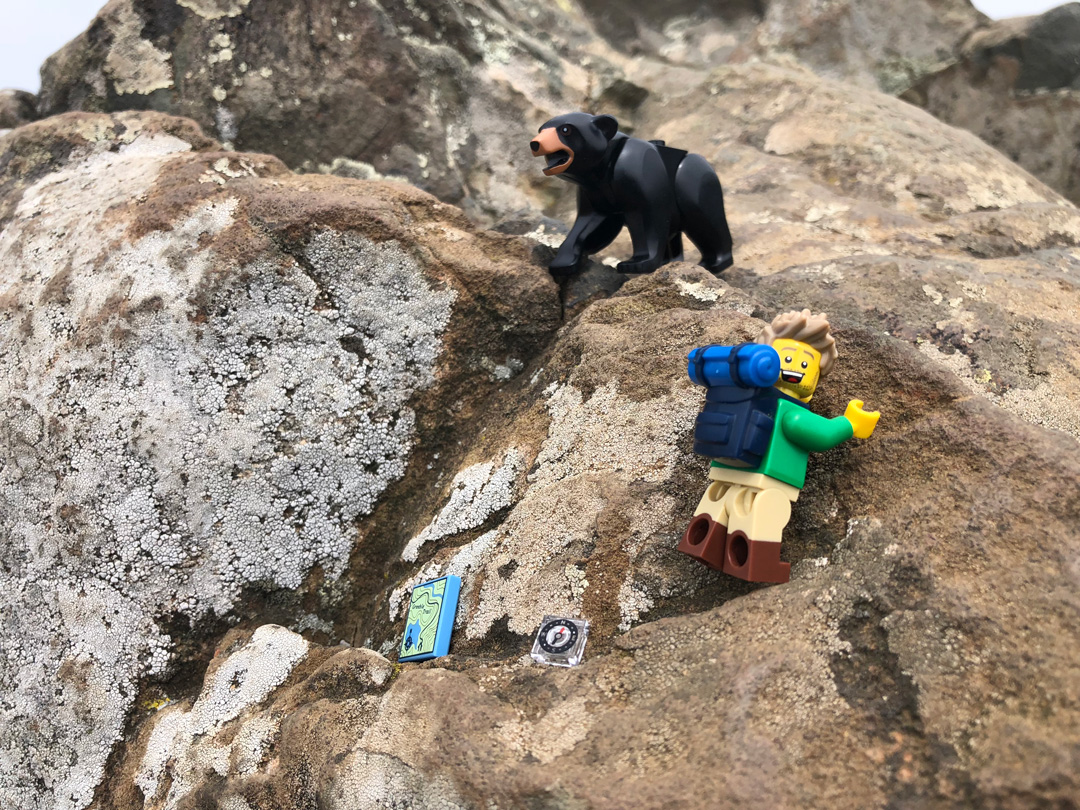
The trail had plenty of vegetation on either side and it looked to be an ideal habitat for bears. Seriously, if I was a bear, I would totally live near this trail. However, like the previous days, we saw plenty of signs of bears (skat on the ground, claw marks on the trees, and countless overturned rocks), but no actual bears. Now, and I’m just throwing this out there, it is entirely possible, although unlikely, that our singing and whistling were to blame for the absence of bears. But my money is on the presumed fact that bears just don’t like cloudy skies.
After an hour of not seeing bears we finally reached Old Rag Fire Road, took a breath, and started up the road before I informed the others that I would need to stop and swap out my undies. You read that right. SWAP OUT MY UNDIES. The night before I changed out my wet underwear for a dry pair so I could air out my swampy parts and hang my wet pair to dry. The problem was, my second pair were too loose fitting and were rubbing my bits the wrong way. Since I didn’t have friction issues with my first pair, and because I let ’em dry out overnight, I figured I put ’em back on. Stop judging me.
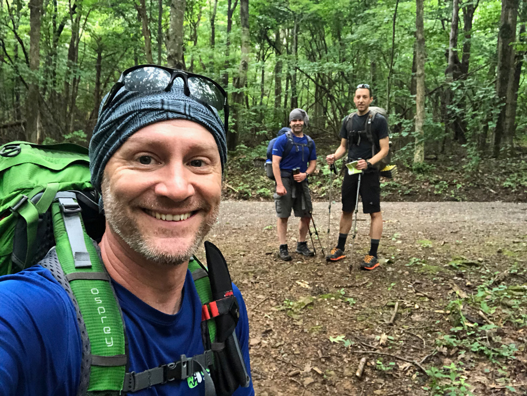
We finished the dreary, steep, 0.75 mile hike up Old Rag Fire Road to Meadows Horse Trail, paused for a moment, and then began the long, downhill extravaganza to Weakly Hollow Road, 4 miles away.
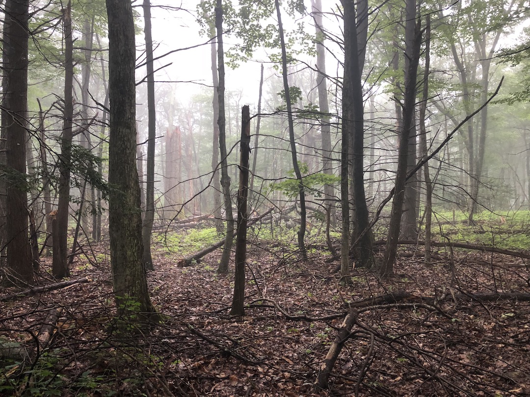
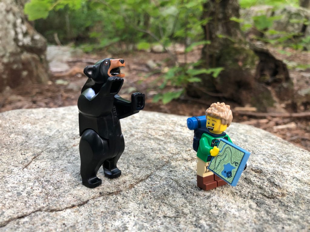
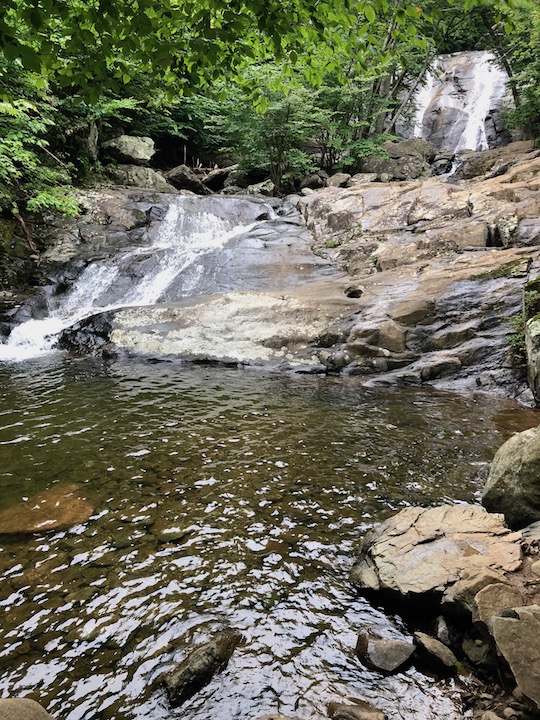
From the horse trail we hit Whiteoak Canyon Trail and the Upper Falls along Robinson River. It was impressive enough to demand a break. Mark took off to the footbridge to the north where he ran into two hikers who had seen a bear earlier in the morning from Skyline Drive, Coop snagged shots of the falls and the foliage, and I played with Legos.
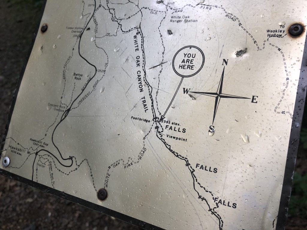
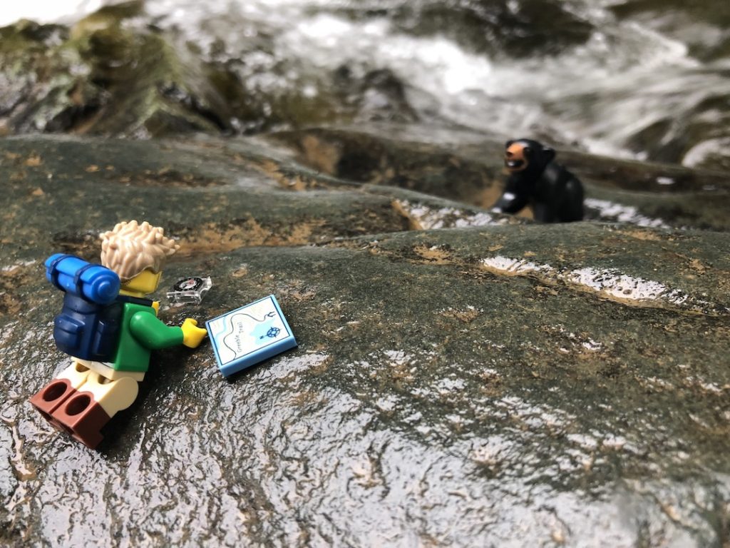
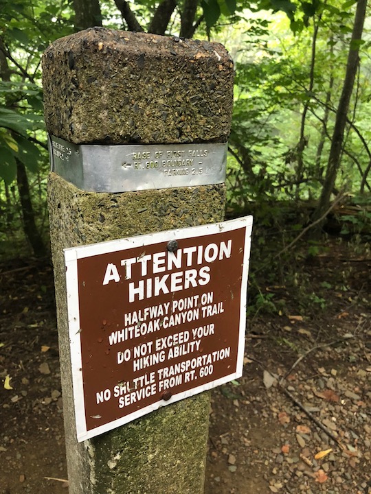
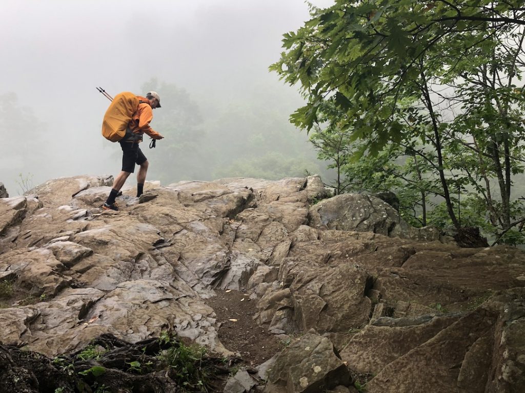
From the horse trail intersection, we started back down Whiteoak Canyon Trail. Just past the halfway point (conveniently marked by a sign) we came across two dudes, a lady, and a canine who were chattin’ it up on the side of the trail.
BRUH: Bruh, do you know if there’s a good spot to jump in up there?
ME: Nothing that I could see.
BRUH: Cool cool. Thanks bruh.
We parted ways, but Bruh & Co. caught back up with us, clearly in a hurry to get somewhere. A couple minutes later we spotted the trio at a picturesque spot along the river fixing to take a dip. They weren’t the only ones. Another group had shown up when we arrived and there were more that we could see headed in our direction.
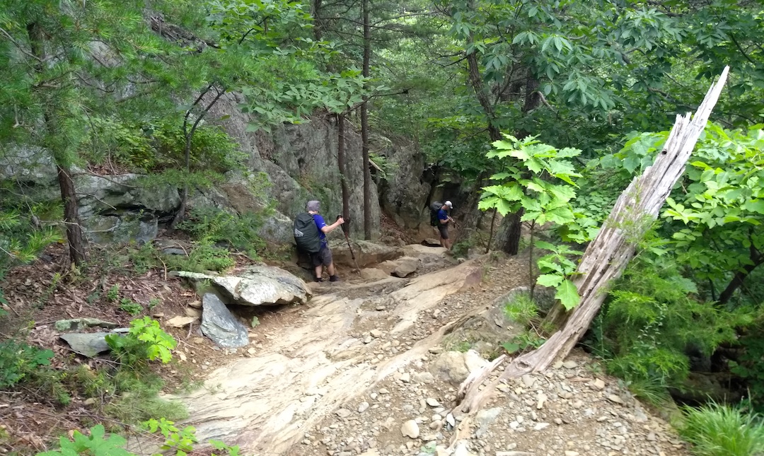
Photo by Coop
Not looking to swim, we continued down the trail passing folks of all sorts. Ultra runners, hikers in flip flops, hikers with speakers, hikers with babies, and hikers with dreams. We joked that Whiteoak Canyon Trail was where marriages came to die. Sure you’d start out like an REI catalog, but you’d slowly transition to late night at Wal-Mart before reaching your final destination at the horse trail where a divorce lawyer was waiting with papers. For real, this trail was rough going down, I couldn’t imagine the joy that would fill my heart if I were to climb it.
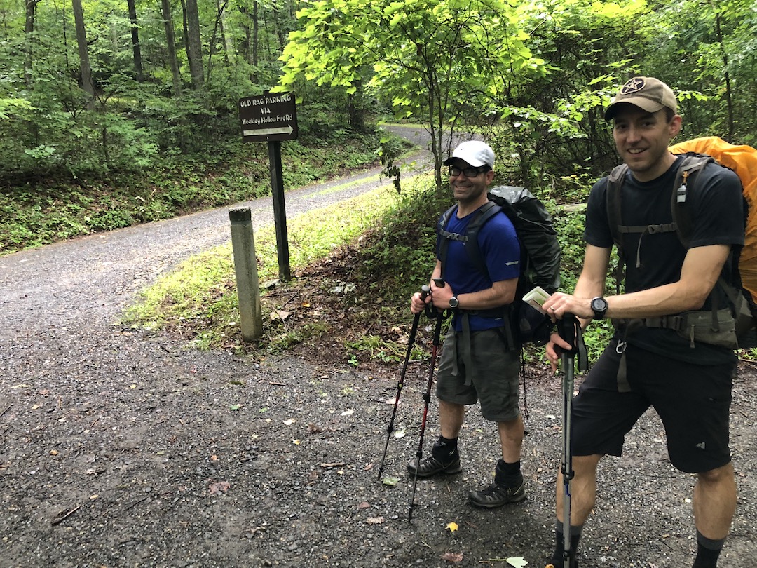
At the bottom we crossed Cedar Run and Robinson Rivers just shy of a ranger pay station. We dumped our trash at the bear bins and crossed Robinson and Cedar Run once more before starting the climb up Weakly Hollow Road, a private drive that leads to Berry Hollow Fire Road on the way to Weakly Hollow Fire Road and our third campsite.
Weakly Hollow Road was a doosy. A single mile with crazy gain. And Berry Hollow wasn’t any easier; a little more than half a mile and its gain was just as bad as its predecessor. From the Berry Hollow parking lot we picked up Weakly Hollow Fire Road and, no surprise here, more climbing. We pushed through and finally…finally reached the Old Rag Fire Road/Weakly Hollow Fire Road intersection and a downhill reprieve. Hallelujah! Just one mile to our third night’s campsite. Our spirits were high.
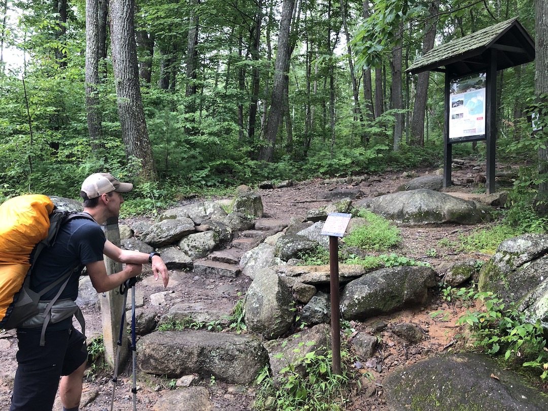
Then we hit the mile mark at the intersection of Weakly Hollow Fire Road and Robertson Mountain Trail. Not a campsite in sight. We headed up Robertson for a couple minutes. Nothing. We returned to Weakly Hollow Fire Road and walked about a tenth of a mile to Corbin Hollow Trail. On the south side there was a site, but it was occupied by a large group. Hoping there’d be something to the north we walked Corbin for a quarter mile before turning around empty-handed.
From Corbin Hollow we were about 3.25 miles from the car; a straight shot down Weakly Hollow Fire Road. We discussed our options and none of them included elevation gain. We decided to keep walking in search of another site. One mile turned into two and in that time I suggested we consider returning to the car and hitting up a campground on the way home if we were unable to find a site. Given the rain of the past two days and the forecasted rain for the next, a hike up Old Rag was highly unlikely. Coop and Mark agreed. And then we found a site.
Way off the road, not but 1.5 miles from the parking lot, there was a huge clearing next to the river with a long, steep trail connecting it to Weakly Hollow Fire Road. I looked at it, looked at Mark, and looked at Coop. Choosing the site over a campground was a pretty hard sell at this point considering the prospect of brats, cold beverages, and a fire. So, at 2:31PM, we called it.
Old Rag would have to wait.
DAY 3 PART 2 (0 MI | +0′ GAIN | -0′ LOSS)
We got back to the car, changed clothes, and hit the road around 3:15PM. Once we had cell service, Coop searched GAIA for options and suggested Sherando Lake Recreation Area, a Forest Service campground with plenty of available sites about an hour and a half away. Mark entered the coordinates into the GPS and off we went.
We arrived as the rain started to fall, paid $20 for a single site, and promptly left the park after the ranger informed us that firewood could only be purchased at a local gas station a few miles away. Fifteen minutes later, with firewood in hand, we made our way back to the campground and Site 28; a walk-up site in the back of the campground.
On arrival, Coop got to work on the fire and Mark and I walked over to talk with the Camp Host who was already making his way to our site. We exchanged greetings and then the host cut straight through the bush.
HOST: There are seven very active black bears in the area. Two big fellas near 400 pounds and a pair of mothers each with cubs.
ME: Wow! OK. Thanks for letting us know.
HOST: The bears aren’t afraid of checking out campsites and they’re not opposed to entering cars either.
ME: Good to know. Thank you.
HOST: On the bright side, if the sun’s up and you see a bear, let me know and I’ll shoot ’em with my paintball gun.
ME: Uh, O-K. So, would it be better if we just hooped and hollered at ’em?
HOST: Nope. That’ll just make them angry.
ME: Alright then. No hooping and hollering.
HOST: Just make sure you hide your trash while you’re awake and walk your trash to the dumpster down the road before you turn in.
ME: OK. Will do.
HOST: And make sure you put your food in the car with the windows up. They’ll do a number on your car if they smell food.
ME: Sounds like a plan. Thanks for the information.
The host went about his business and we went about ours. As we ate, the rain turned off and on before it completely cleared out just past sunset. Taking advantage of the lack of rain, we yucked it up for a while before walking our trash to the dumpster around 10PM followed by an impromptu spider walk. We hit the hay right at 10:30PM, and were on the road by 7AM the next day. Trip complete.
TOTALS (36.55 MI | +7,714′ GAIN | -7,602′ LOSS)
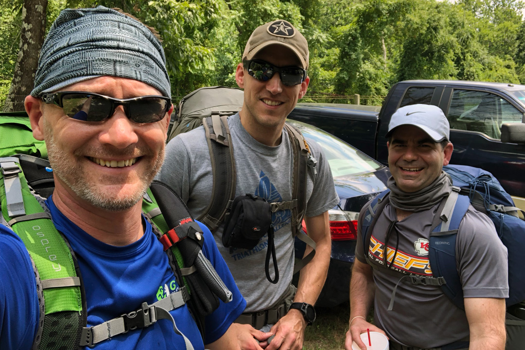
FINAL THOUGHTS
Shenandoah was amazing. We planned for 32 miles with an optional 8-mile dayhike over four days and were able to knock out almost 37 miles over 3 days. The humidity sucked, but the heat was more than manageable. Even though rain was a deterrent in completing our desired hike up Old Rag (safety first), it wasn’t constant and occurred mostly while we weren’t hiking. The fog…man…eff that business. Totally killed the views from above. I was bummed that we didn’t see bears, especially considering Shenandoah is home to more than 500 of ’em, but our lack of sightings probably had something to do with our singing, whistling, and talking. Probably.
Overall, Shenandoah was a great, challenging adventure that I’m glad we had the opportunity to complete. I’m looking forward to getting back out there, and if we’re lucky, it’ll be when we complete our 100-mile thru-hike along the AT.
See you on the trails!
The Fenix 5X was great. Maps were awesome and showed trails that weren’t on our route map. The battery life was superb even with navigating, and I can imagine that on longer trips the Anker charger would be invaluable. Lastly, mileage and elevation were pretty close to what our route maps were showing. This is due to me keeping with GPS instead of UltraTrac. Coop used the latter on his Fenix 5 on the first day and mileage was off by more than two miles compared to mileage from my and Mark’s watches.
